
 Hiking
 Login
Login
 More
More
 EN
EN
 Premium
Jhangeli West Tour (northern loop)
automatic translation
7.6 km • Redange-sur-Attert
1.2580 0 0/5

 Addresse starting point (approximate)
Rue De Noerdange 6, 8545 Redange/Attert, LU
 signage
The route is not signposted. Use a GPS device or our app to follow the route.
 Description
We took this walk on 09/12/2026 (10,323 steps)
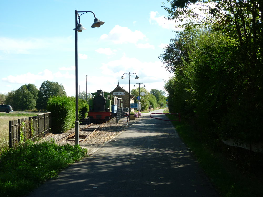
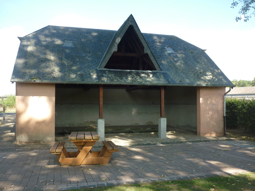
You start at the cemetery of Niederpallen and follow the quiet village roads towards the old railway track of the Jhangeli line. Via the low-traffic route, you walk through the village and pass the small washhouse, a silent reminder of daily life in the past.
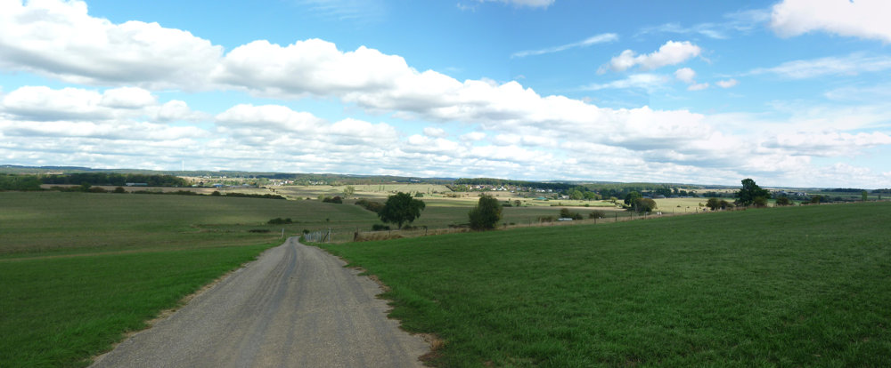
The route gently rises and then descends to Huttange, where the renovated Chapelle Saint-Sigismond adorns the landscape. Then you follow open roads through the Guttland, along panels that tell stories of smuggling, periods of famine, and life in the 19th century — small windows on the 'Wild West' of Luxembourg.
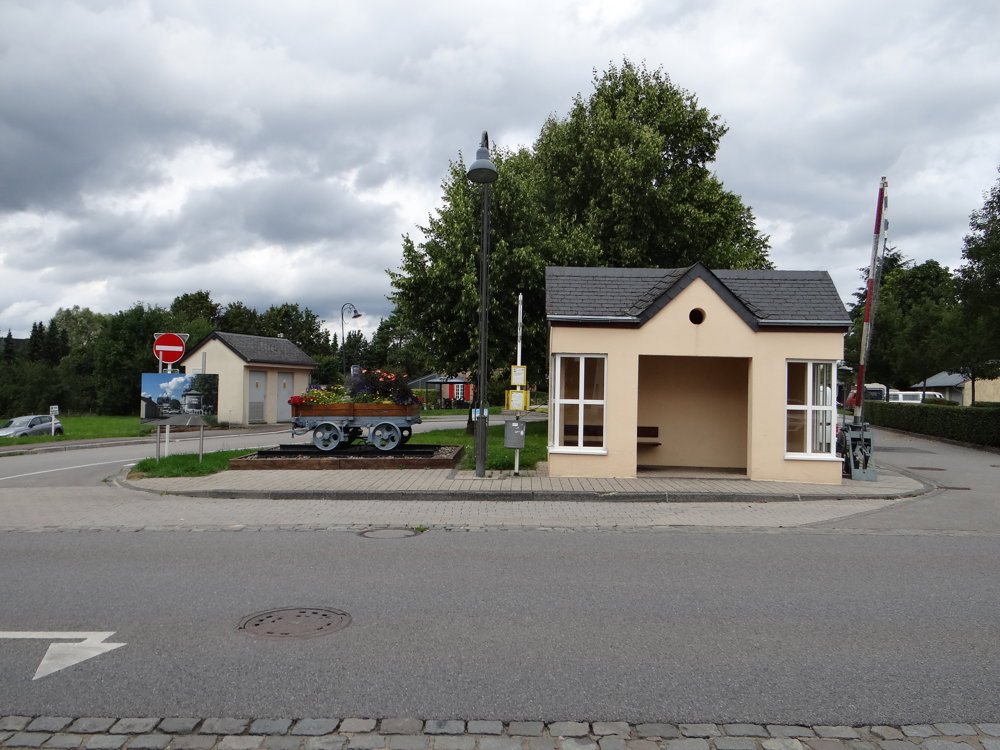
You descend to Noerdange, where the railway history emerges again at the old station. From here, you walk southwards back to Niederpallen, through a quiet and fully paved landscape, until you reach the cemetery again.
Enjoy this walk,
Eddy, Rita and Prinske
automatic translation
 nodes to follow
0 km

0.2 km
0.5 km
1.1 km
2.6 km
3.1 km
3.7 km
5.6 km
6 km

7.6 km



 Upgrade to Premium Plus


