 Hiking
 Login
Login
 More
More
 EN
EN
 Premium
Sombeke-Oude Durme hiking trail loop 2
automatic translation
6.6 km • Waasmunster
 official route
4.3108 4 3.8/5
 Addresse starting point (approximate)
Durmebrug, 9250 Hamme
 signage
The route is fully signposted with thematic signs (no nodes).
 Description
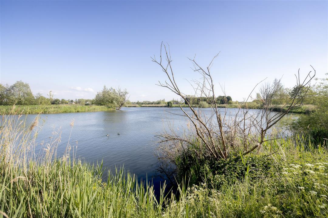
Enjoy natural beauty along the still waters of the old Durme! Loop 2: (Old Durme Route) discovers the area south of the Durme, on the border of Waasmunster and Hamme.
automatic translation
Monday, April 6, 2026 by Claudine SertijnThe route hasn't gone anywhere! Start at Durmebrug; signs are posted. Halfway through, there's a chance to grab a drink or a bite to eat... The watermill
automatic translation
Sunday, November 16, 2025 by L.D.Oy, the rte is gone ! (15/11/2025) This was not announced anywhere. We walk 200 m from the Mira bridge, past the B&B on the left, as indicated and then suddenly...all gone, no more hiking trail so then back home. Apparently the Sigma Plan liquidated the hiking trail, maybe temporarily.
automatic translation
Saturday, May 1, 2021 by J.D.Beautiful walk with nice twists along the old Durme
automatic translation
Wednesday, March 31, 2021 by Femke Van goethempleasant short walk, restaurant on the route (the water mill) but due to corona temporarily open on a limited basis. soon the owners will organize picnic baskets. beautiful nature and many diverse water/agricultural birds
automatic translation


 Upgrade to Premium Plus
