
 Hiking
 Login
Login
 More
More
 EN
EN
 Premium
The Eau Noire, a wild river
automatic translation
9.9 km • Couvin
80 0 0/5
route offered by
Massembre
 Addresse starting point (approximate)
Parking du Couvidôme, Rue de la Foulerie 12/2
 signage
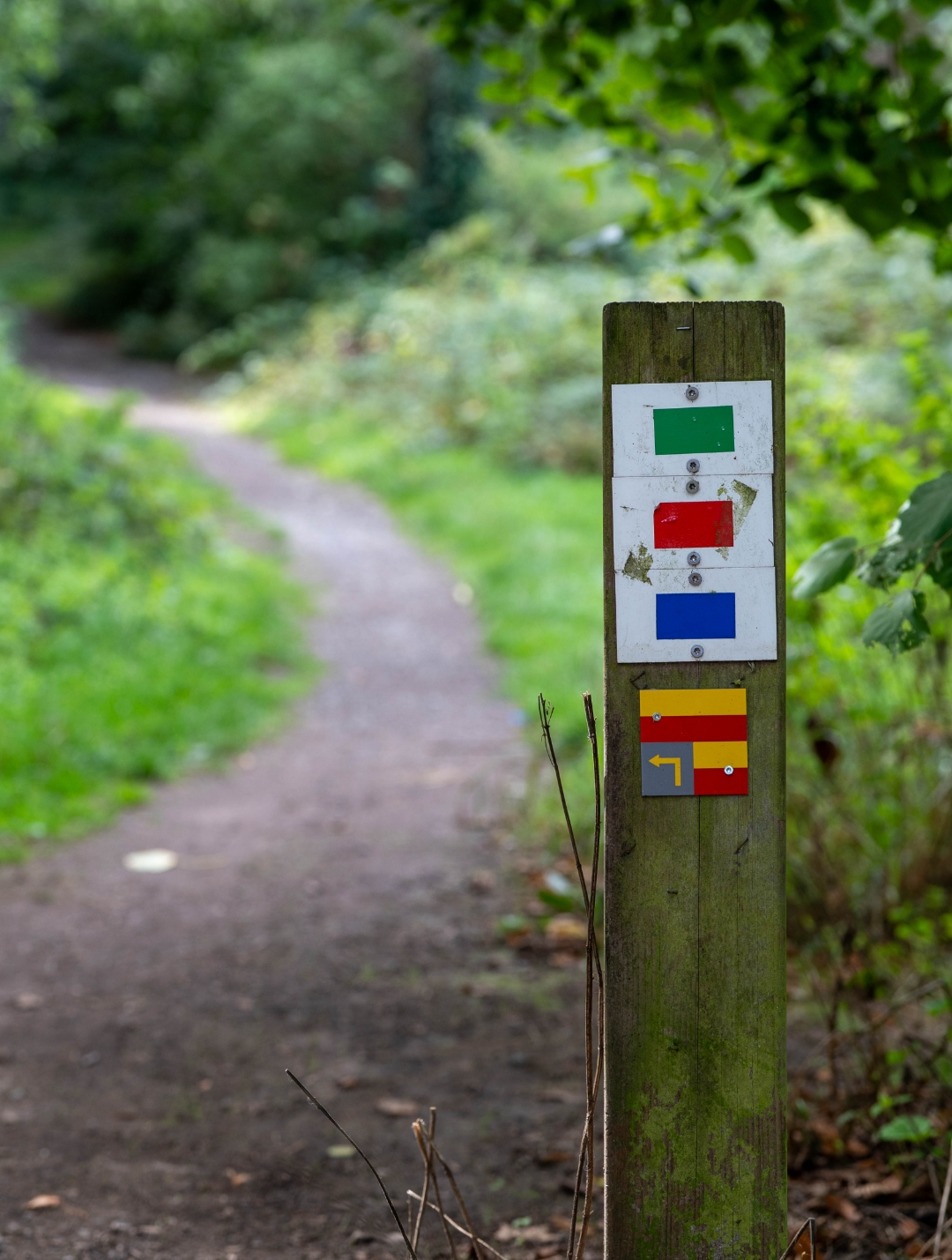
The route is not signposted. Use a GPS device or our app to follow the route through the virtual nodes.
 Description
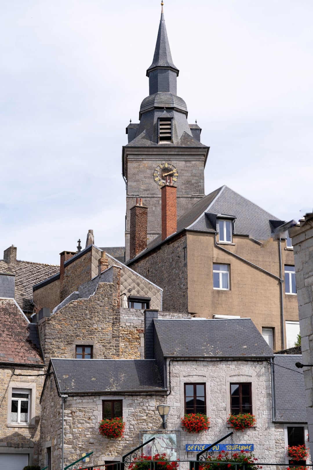
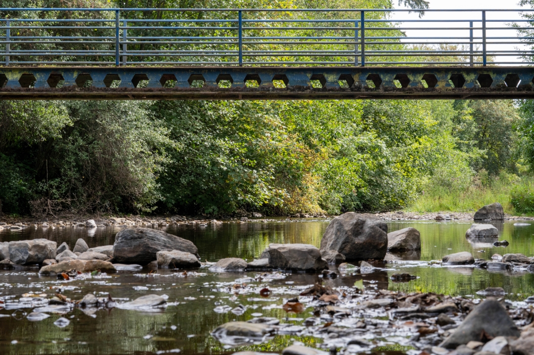
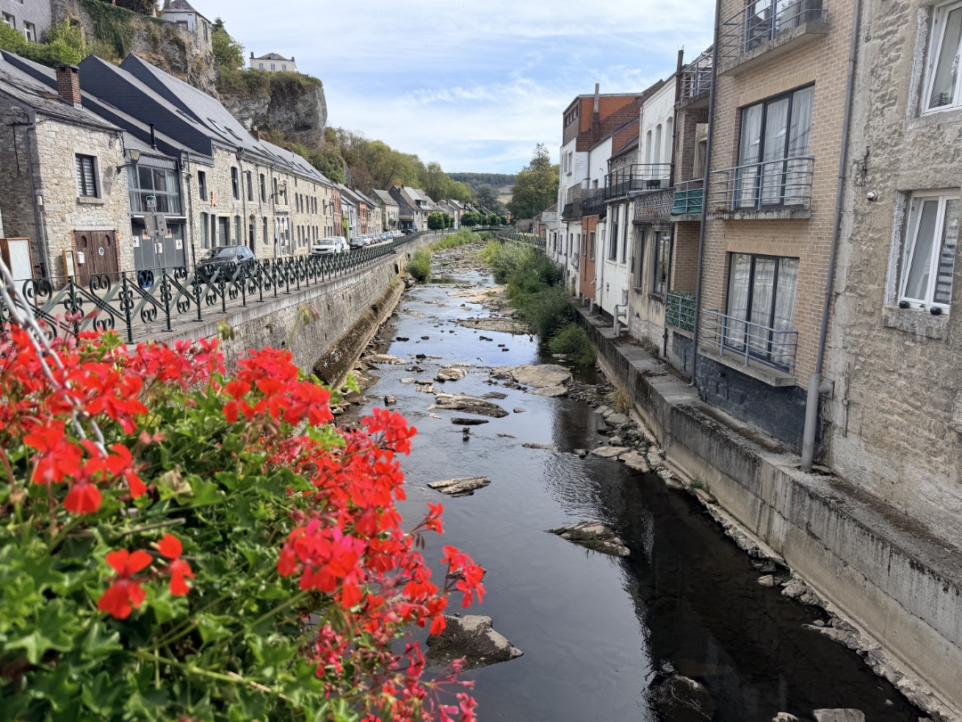
This hike from Couvin follows the Eau Noire Valley and winds through the surrounding Ardennes forests. The route passes through the peaceful Fonds de l’Eau area, where the river, forest, and open landscape alternate. Please note that cell phone reception may be limited in some places along the way.
The route is an extended version of a shorter hike from the book *26 Hikes Between the Ardennes, the Fagne, and the Calestienne*, published by Lannoo in collaboration with the Entre-Sambre-et-Meuse National Park.
automatic translation
 nodes to follow
0 km
0.1 km
3.7 km
3.8 km
3.9 km
4.1 km
5.8 km
7.2 km
9.9 km



 Upgrade to Premium Plus


