
 Hiking
 Login
Login
 More
More
 EN
EN
 Premium
Around Lake Ry de Rome
automatic translation
4.9 km • Petigny (Couvin)
50 0 0/5
route offered by
Massembre
 Addresse starting point (approximate)
Barrage du Ry de Rome 5
 signage
The route is not signposted. Use a GPS device or our app to follow the route through the virtual nodes.
 Description
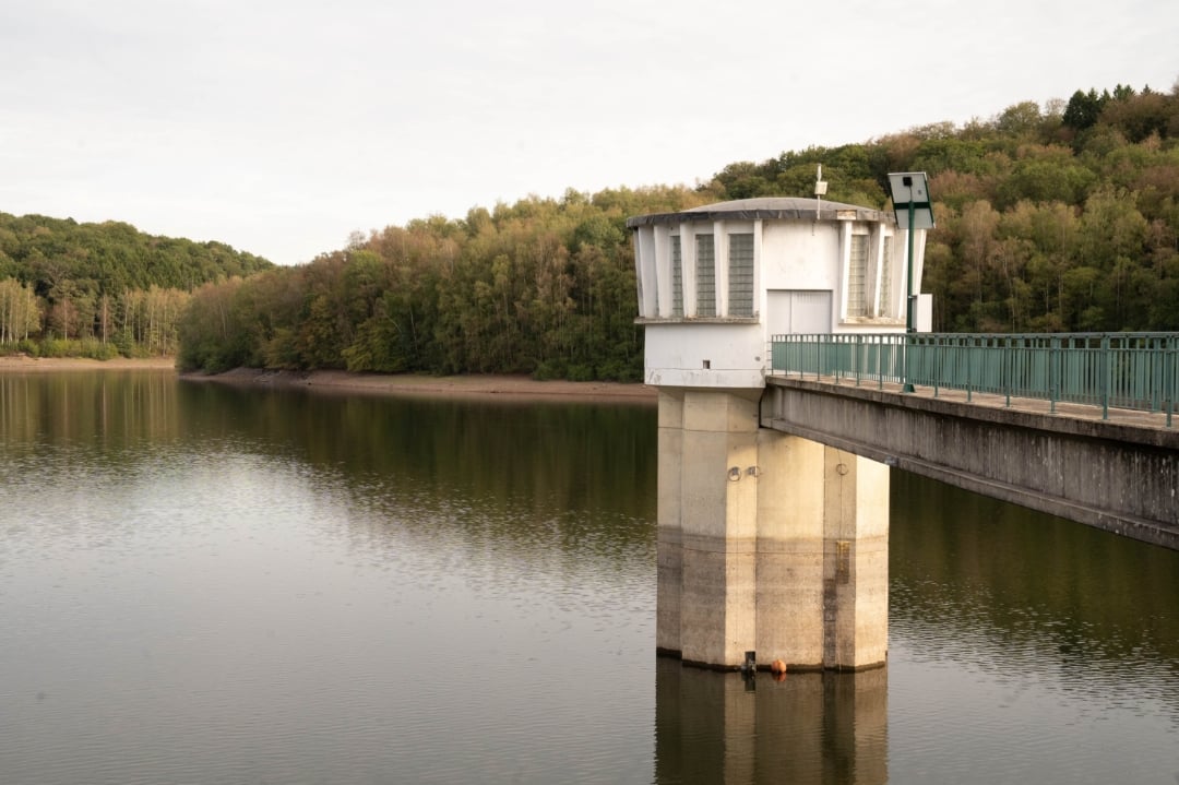
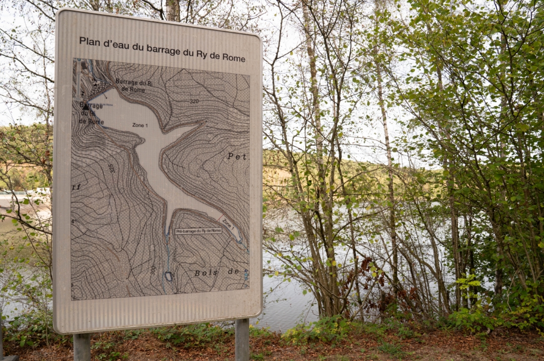
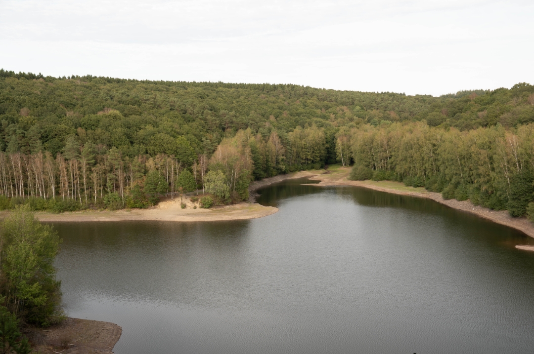
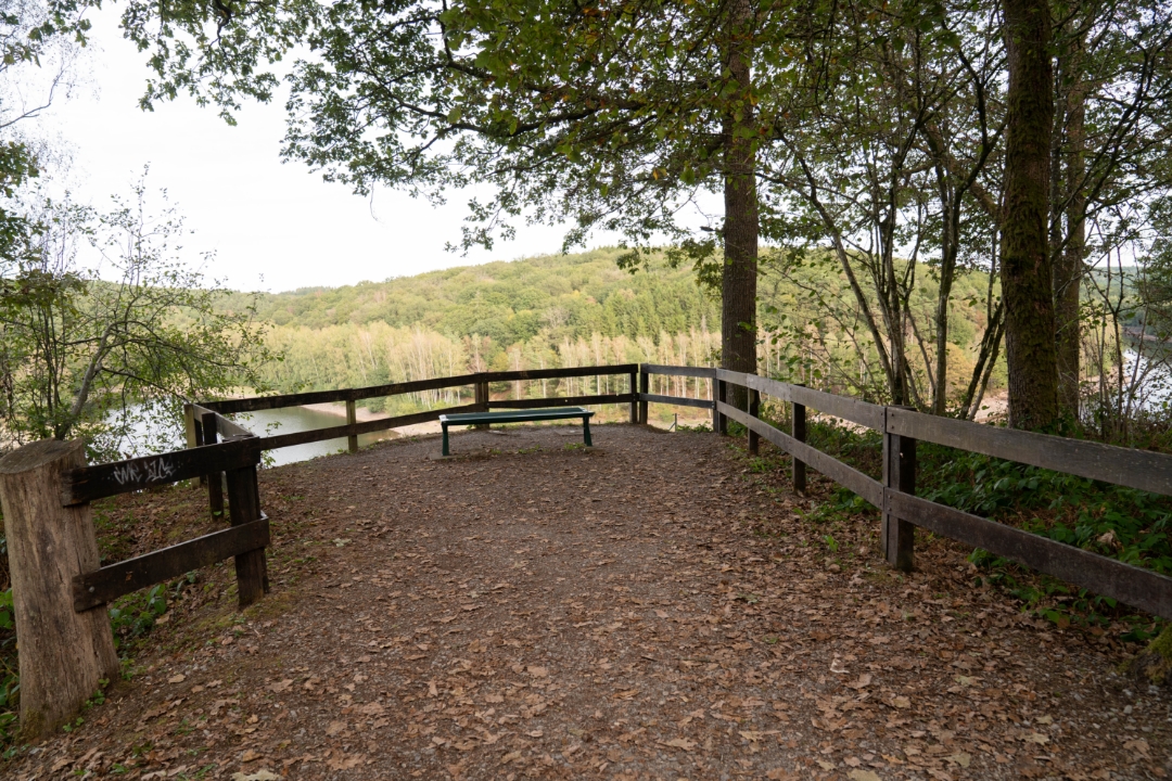
This hike explores the wooded area around Lake Ry de Rome. Along the water’s edge and through the surrounding Ardennes forests, you’ll discover a varied landscape teeming with wildlife and plant life.
The hike is based on the book *26 Hikes Between the Ardennes*, the Fagne, and the Calestienne*, published by Lannoo in collaboration with the Entre-Sambre-et-Meuse National Park. Our route extends this original loop with a longer section through the surrounding area.
automatic translation
 nodes to follow
0 km
0.4 km
1.1 km
1.9 km
3.4 km
4.9 km



 Upgrade to Premium Plus


