
 Hiking
 Login
Login
 More
More
 EN
EN
 Premium
Massembre - Mesnil - Massembre
6.9 km • Heer
30 0 0/5
6.9 km
0.0 km
0.0 km
route offered by
Massembre
 Addresse starting point (approximate)
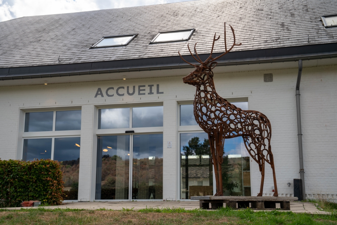
Domaine de Massembre - Massembre
 signage
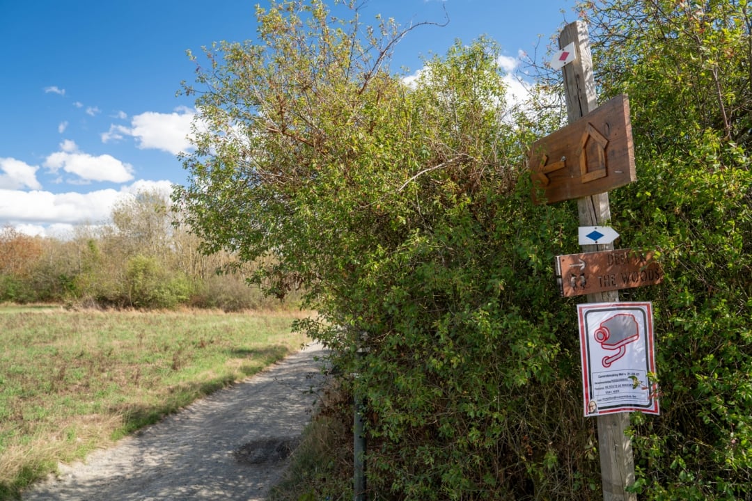
The route is not signposted. Use a GPS device or our app to follow the route through the virtual nodes.
© Van Uytsel-Vandermeulen
 Description
This 6.9-kilometer hike starts at the Massembre farm and initially follows the Ruisseau de Massembre, which forms the border with France here. You’ll then walk through open fields and along quiet forest trails to the French village of Mesnil.
From Mesnil, the route takes you through the countryside and along pleasant country roads back to the forest on the north side of Massembre. A peaceful and varied border hike featuring water, woods, and sweeping views.
automatic translation
 nodes to follow
0 km
0 km
2.8 km
3.1 km
3.4 km
3.6 km
6.2 km
6.9 km
6.9 km



 Upgrade to Premium Plus


