 Hiking
 Login
Login
 More
More
 EN
EN
 Premium
Flemish Ardennes Challenge hiking trail
automatic translation
22.4 km • Ronse
 official route
5.56313 5 4.2/5
 Addresse starting point (approximate)
La Houppe 2, 7880 Flobecq
 signage
The route is fully signposted with nodes.
 Description
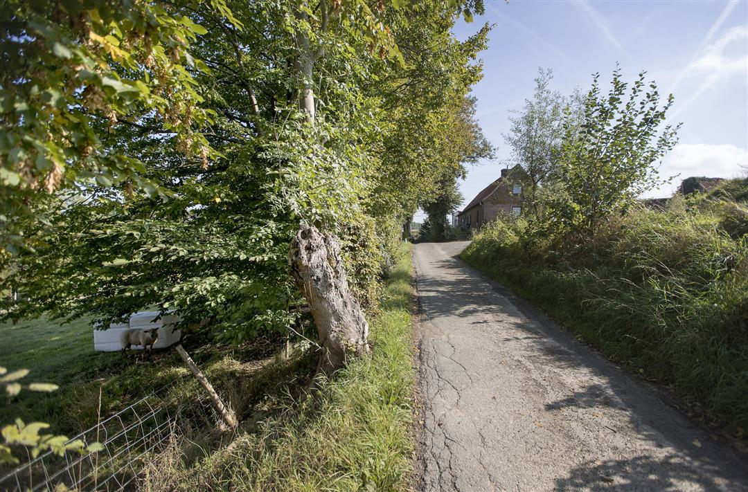
Challenge yourself with this XL hiking trail in the Flemish Ardennes. This route is specially designed for the go-getters. With 27.5 km you will explore the #walkinghalla that is the Flemish Ardennes. The route reaches far across the language border, taking you as far as Ellezelles.
The Flemish Ardennes Challenge Hiking Routeis offered to you by Routen, an initiative of Tourism East Flanders.
automatic translation
 nodes to follow
0 km
0.1 km
0.3 km
0.6 km
1.7 km
2.5 km
3.2 km
5.1 km
5.7 km
7 km
7.1 km
8.4 km
8.5 km
9.2 km
10.4 km
12.7 km
15 km
16 km
19.9 km
20.4 km
20.8 km
22.3 km
22.4 km
Sunday, June 21, 2026 by Manu VerbinnenAs someone who loves hiking in the Flemish Ardennes, this route felt like a long hike with not much extra to offer. On the Walloon side of the hike, the signage turned out to be of poorer quality, so I don’t really recommend relying solely on the junction markers. Parking is more convenient at the Louise Marie Church. Seating is limited.
automatic translation
Sunday, June 4, 2023 by Mieke D'haeseA lovely route, lots of views, lots of variety, parts GR route. At junction 6 numerous possibilities to drink or eat something, also just before junction 10 there is a bistro. Walking shoes are a must
automatic translation
Sunday, February 14, 2021 by werner knopthanks to previous review writer mbt start of course. It is indeed a real challenge but beautiful. Starting from the music forest (deer spotted) and walking along the language border only to cross it. "Good day" becomes "bonjour". At node 6 you can enjoy a soup or coffee take away at chalet Gerard. Great
automatic translation
Monday, August 17, 2020 by Isabelle HufkensWonderful! At the end in the music forest a vicious and unexpected climb, other elevation changes quite doable. Part unpaved seems to us rather 75%. Fair amount of shade also in the woods. Sometimes a long search for a bench, but patience pays off! Starting point 36 is at Bistro Boekzitting, address Boekzitting 26, 9600 Ronse (mentioned starting address is wrong).
automatic translation
Monday, August 3, 2020 by T.D.Beautiful and varied hiking trail. Good variation between forest and plains. Beautiful views. Around junction 6 there is opportunity to eat or drink something.
automatic translation


 Upgrade to Premium Plus
