
 Hiking
 Login
Login
 More
More
 EN
EN
 Premium
Massembre - Barrages Givet - Massembre
8.3 km • Heer
30 0 0/5
route offered by
Massembre
 Addresse starting point (approximate)
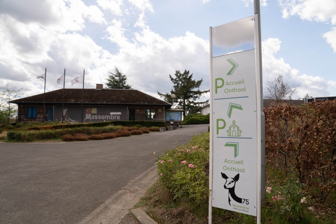
Domaine de Massembre - Massembre
 signage
The route is partially signposted with nodes. Use a GPS device or our app to follow the route through virtual nodes.
 Description
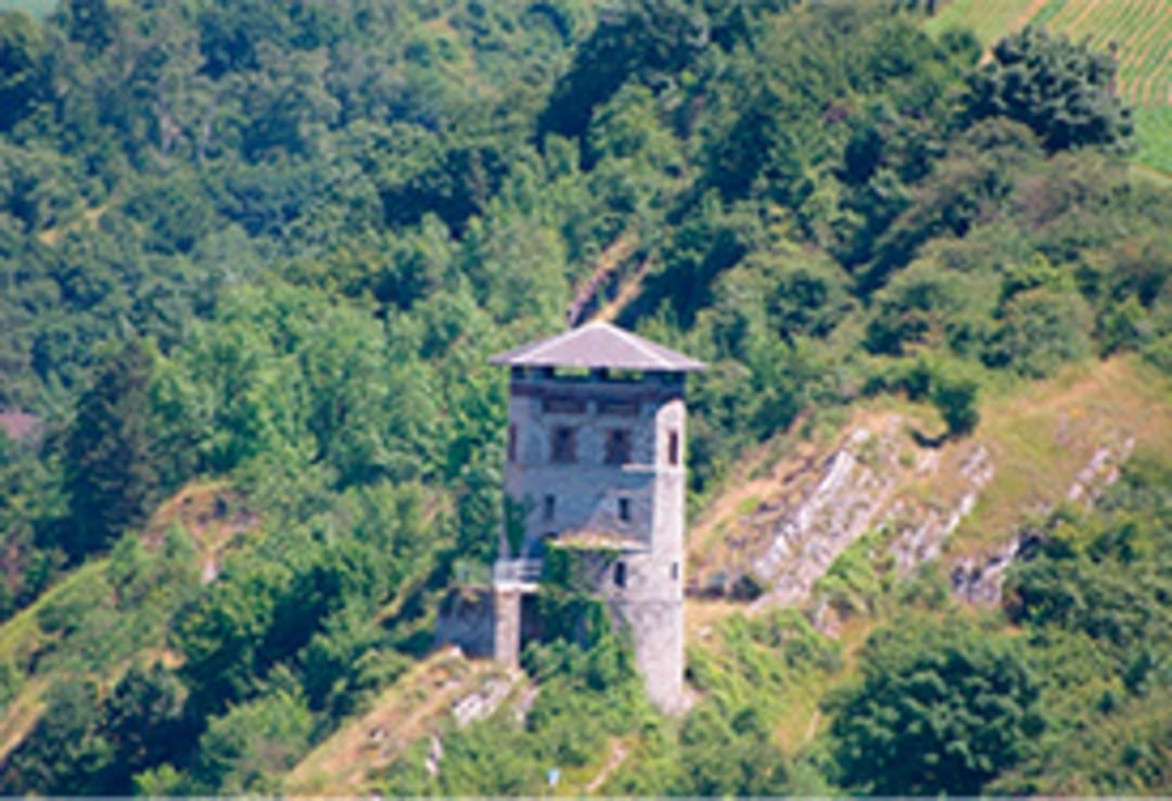
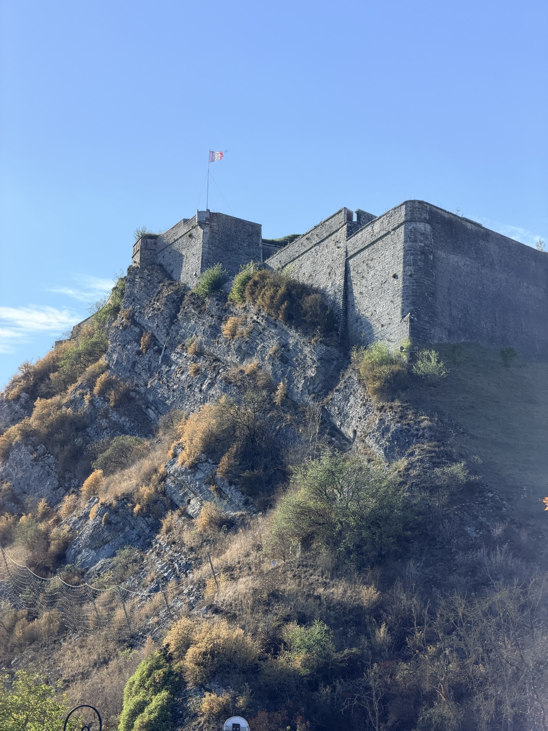
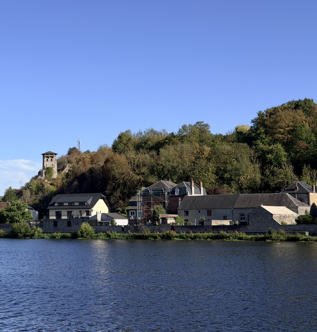
From Massembre, follow an old smuggling trail through the forest to the French border town of Givet. There, the route connects to the former towpath along the Meuse. You’ll walk along the water toward the Givet dams, enjoying beautiful views of the river and the surrounding hills along the way.
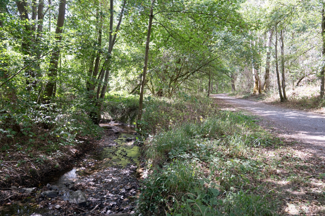
At the dams, you’ll leave the Meuse and walk back to Massembre through the nature reserve and along quiet forest trails. This 8.3-kilometer loop combines border history, river landscapes, and Ardennes nature.
automatic translation



 Upgrade to Premium Plus


