
 Hiking
 Login
Login
 More
More
 EN
EN
 Premium
Mont d'Haurs
3.2 km • Givet (FR)
20 0 0/5
3.2 km
0.0 km
0.0 km
route offered by
Massembre
 Addresse starting point (approximate)
Rue Andreé Bouzy - Parking
 signage
The route is not signposted. Use a GPS device or our app to follow the route through the virtual nodes.
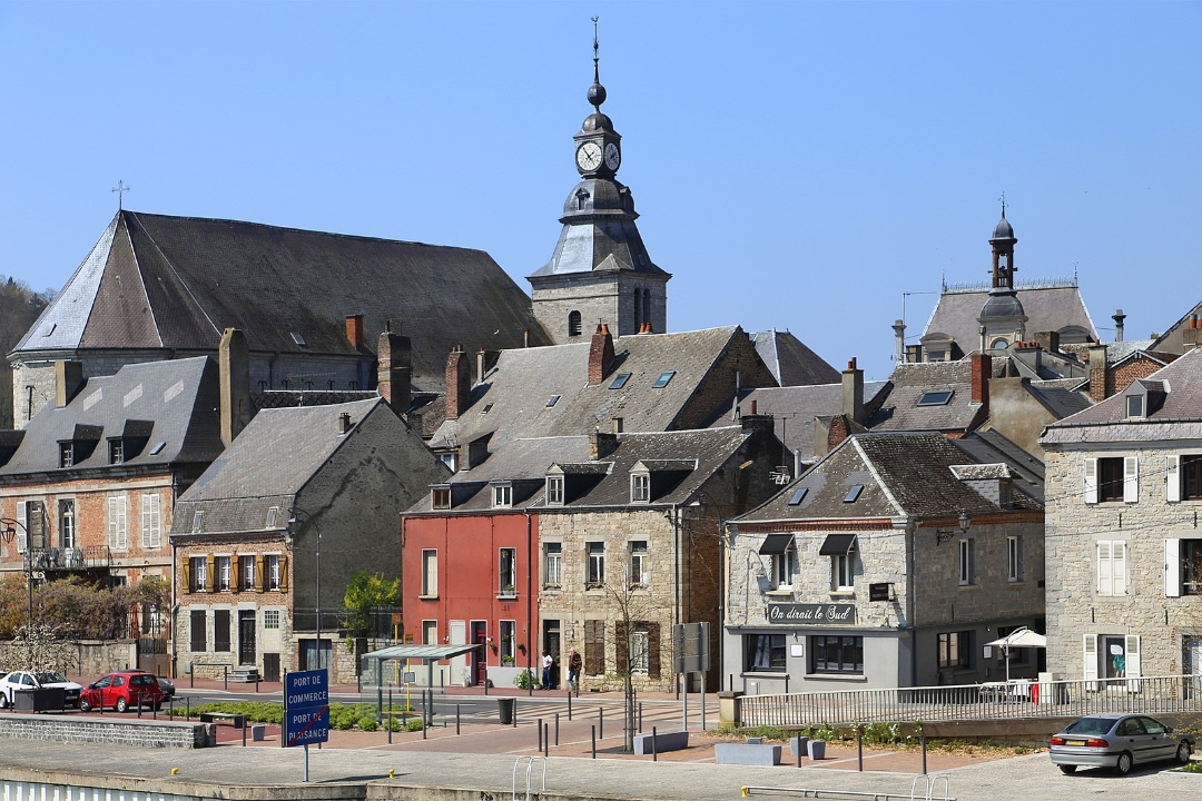
© Givet
 Description
This short hike leads from Givet to Mont d’Haurs, a green hill with a remarkable military history. Along the way, you’ll pass the remains of the old defensive line, though nature has largely reclaimed the area today. From the higher elevations, you’ll enjoy beautiful views of Givet, the Meuse River, and the surrounding hills. A short but varied hike where nature, history, and panoramic views come together.
automatic translation



 Upgrade to Premium Plus


