
 Hiking
 Login
Login
 More
More
 EN
EN
 Premium
Heer-Agimont
11 km • Agimont
60 0 0/5
11 km
0.0 km
0.0 km
route offered by
Massembre
 Addresse starting point (approximate)
Rue des Bas Prés & Rue de la Résistance
 signage
The route is partially signposted with nodes. Use a GPS device or our app to follow the route through virtual nodes.
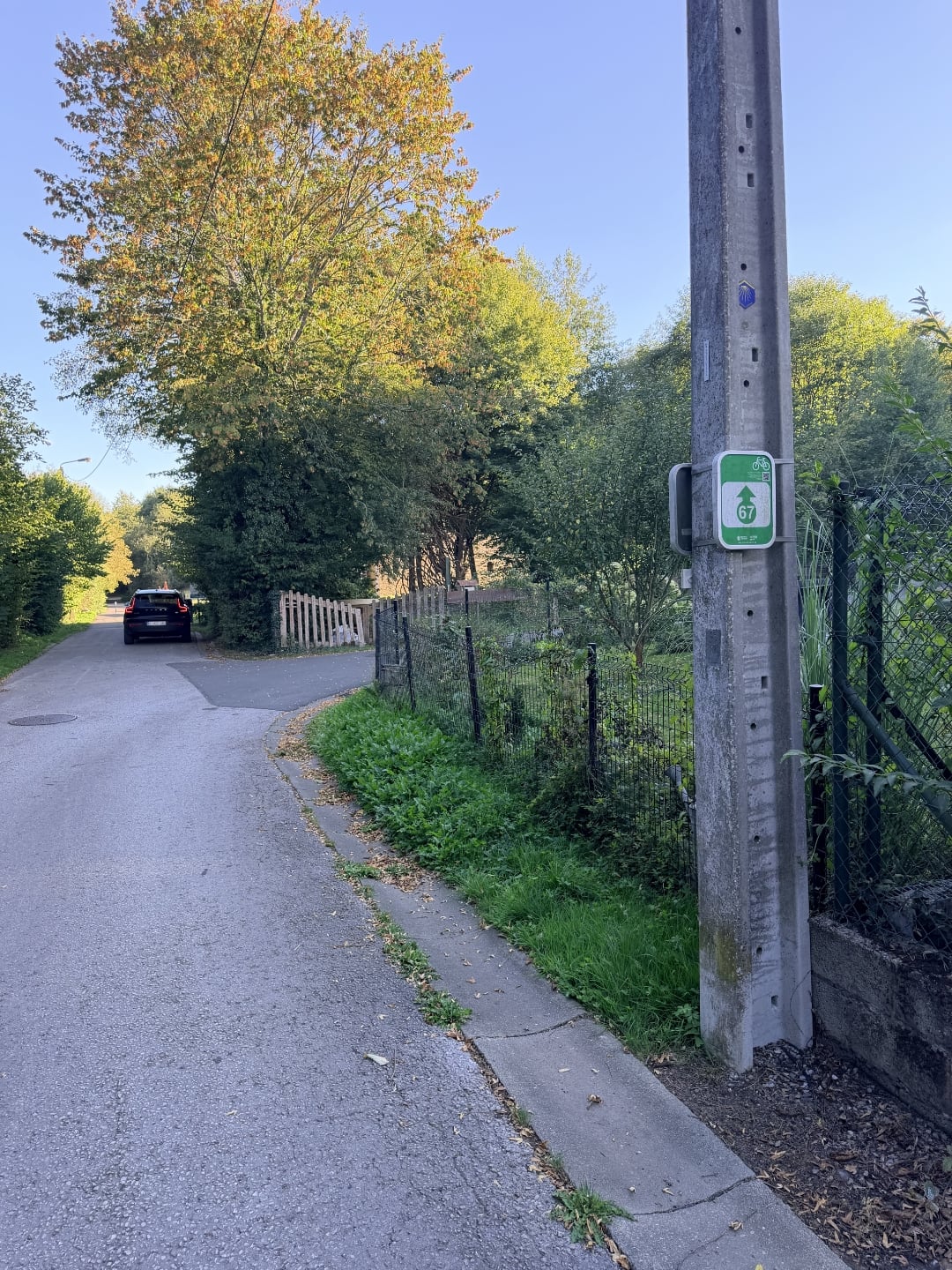
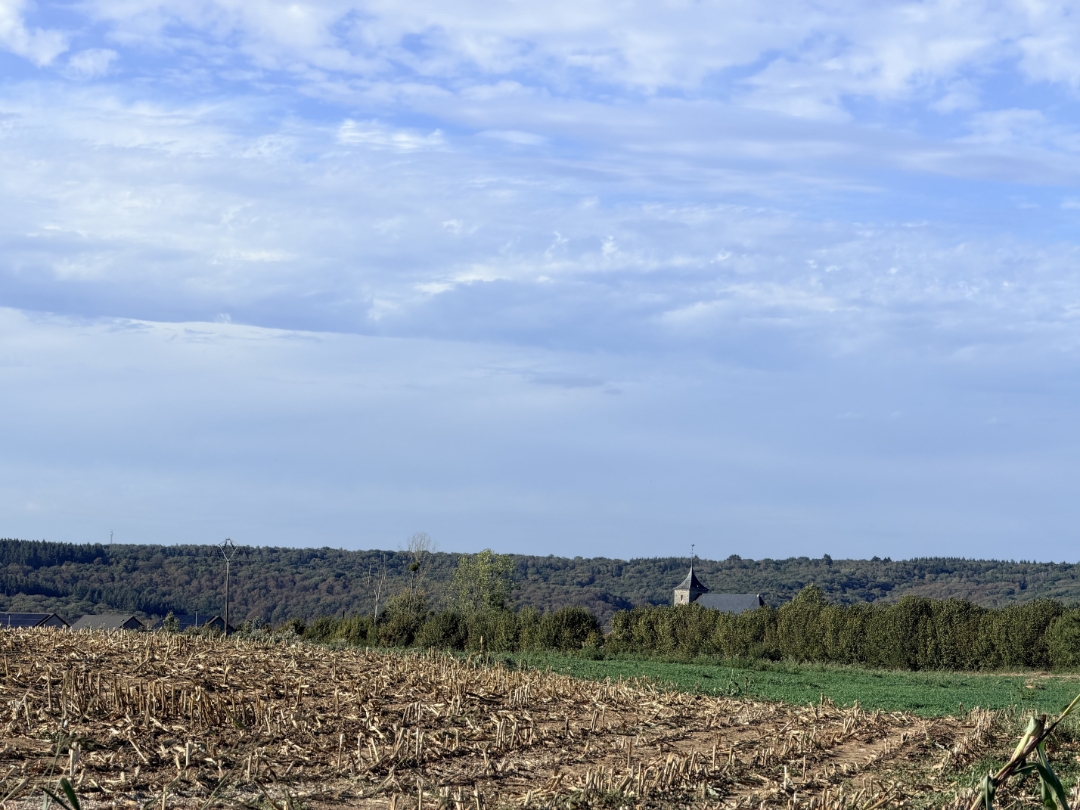

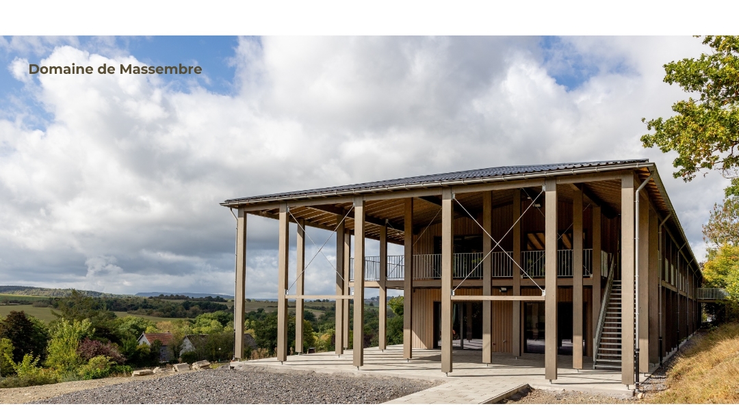
© B. Van Uytsel
 Description
This 11-kilometer loop hike starts in Heer-Agimont and partly follows the route of the old railroad line along the Meuse River. You’ll then hike through the vast forests between Hermeton-sur-Meuse and Agimont. You’ll return to the starting point in Heer-Agimont via quiet forest trails.
automatic translation
 nodes to follow
0 km
1.9 km
4.4 km
6 km
8.1 km
11 km



 Upgrade to Premium Plus


