Loading...

Blaimont - Hastière - Cascatelles - Blaimont

automatic translation

7.8 km • Blaimont (Hastière)

90 0 0/5

7.8 km 0.0 km 0.0 km

route offered by

Massembre

Icon starting point Addresse starting point (approximate)

Rue du Village 15 (aan de kerk)

Icon type signage of route signage

The route is not signposted. Use a GPS device or our app to follow the route through the virtual nodes.
5m 5m 5m 5m
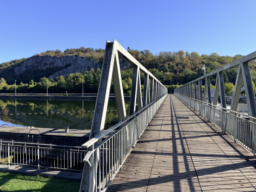
Atmosphere image 1 of route Blaimont - Hastière - Cascatelles - Blaimont Atmosphere image 2 of route Blaimont - Hastière - Cascatelles - Blaimont Atmosphere image 3 of route Blaimont - Hastière - Cascatelles - Blaimont Atmosphere image 4 of route Blaimont - Hastière - Cascatelles - Blaimont
© Bert Van Uytsel

Icon description route Description

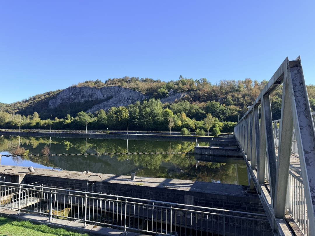
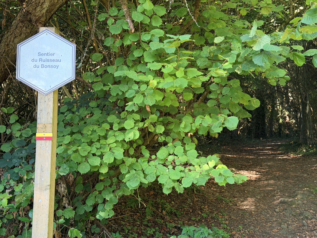
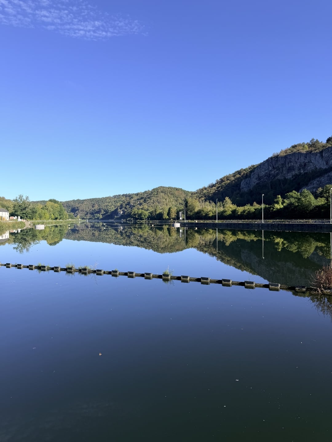
A lovely walk from the village of Blaimont takes you to Hastière. You continue along the Meuse toward Waulsort, then return to Blaimont via the Cascatelles.

automatic translation

Icon nodes to follow nodes to follow

Image node 70
0 km
Image node 70
0 km
Image node 439
0.3 km
Image node 399
2.9 km
Image node 688
5.9 km
Image node 70
7.7 km
This route does not have any reviews yet. Be the first!
Rate route!

Which POI do you want to show on the map?

Experimental hiking network
Unsigned icon

The route you have chosen runs (partly) along an experimental virtual hiking node network (the blue-coloured nodes and sections on the map).

You must be logged in to plan routes here.

Experimental hiking network
Unsigned icon

The route you have chosen runs (partly) along an experimental virtual hiking node network (the blue-coloured nodes and sections on the map).

These routes are not controlled in the field. Before you start hiking here, take a minute to read what an experimental hiking node network is and what rules you should follow when hiking here.