 Hiking
 Login
Login
 More
More
 EN
EN
 Premium
Around Sint-Margriete hiking trail
automatic translation
11.4 km • Sint-Laureins
 official route
1.9281 2 3.8/5
 Addresse starting point (approximate)
Kerkplein, 9980 Sint-Laureins
 signage
The route is fully signposted with nodes.
 Description
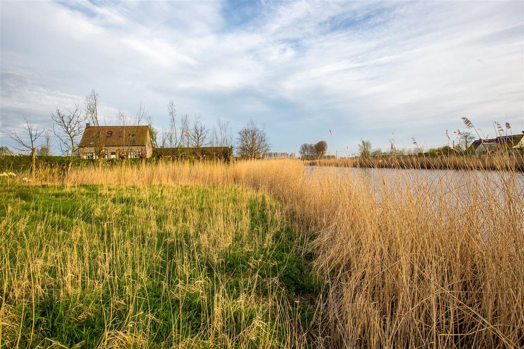
Walking around Sint-Margriete. Suggested route on the Meetjeslandse Kreken hiking network of 11,4 km.
The Rond Sint-Margriete walking route is brought to you by Routen, an initiative of Tourism East Flanders.
automatic translation
 nodes to follow
0 km
2 km
3.2 km
4.5 km
6.1 km
6.4 km
6.7 km
8.7 km
9.1 km
11.4 km
Monday, August 23, 2021 by Dirk CalsynThe Creekside area with its fresh breeze, beautiful scenery and rustic antiquity. Enjoyed the peace, the solitude, the silence.
automatic translation
Tuesday, November 10, 2020 by L.H.Beware: error in the info.
The start is at the church of St Margriete and NOT at the church of St Laureins.
Paved roads between the fields. Beautiful views in autumn without the corn!
automatic translation


 Upgrade to Premium Plus
