
 Hiking
 Login
Login
 More
More
 EN
EN
 Premium
Gastuche forest walk on the language border
automatic translation
12.9 km • Grez-Doiceau
6.76213 0 0/5

 Addresse starting point (approximate)
Place Joseph Hallaux 3, 1390 Grez-Doiceau, BE
 signage
The route is not signposted. Use a GPS device or our app to follow the route.
 Description
Departure: NMBS Station Gastuche - Rue de la Station - Grez-Doiceau
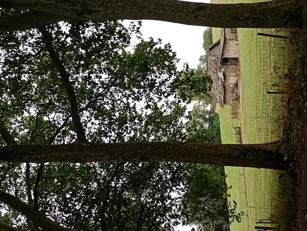
Once we've crossed the track, we pass a monument at the beginning of the Laurensart forest in memory of the 35 British soldiers who fell here on May 15 and 16, 1940, during the defense of the bridge over the Dijle.
The forest consists of narrow paths, interspersed with wider avenues. Especially these avenues can be quite slippery in wet weather. Sturdy hiking boots, long pants, and trekking poles are therefore highly recommended here.
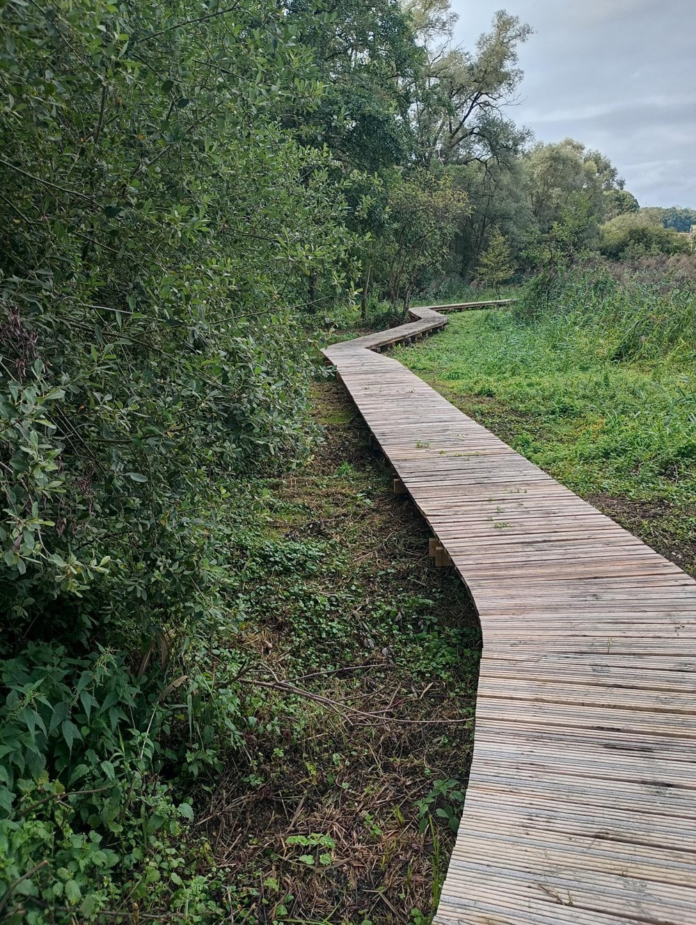
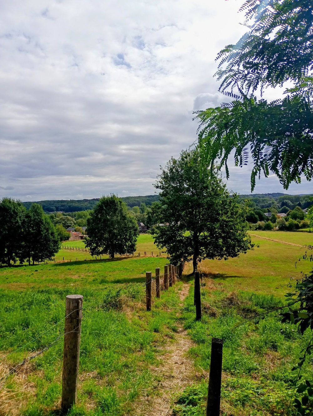
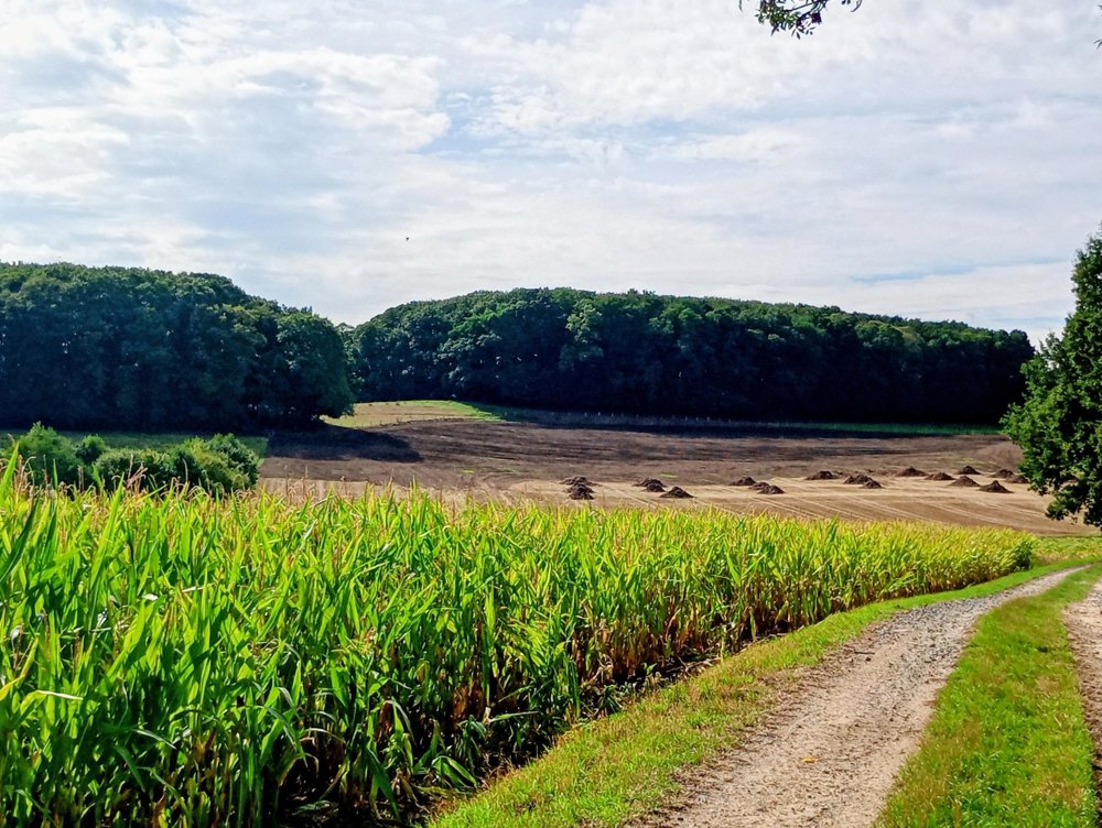
Footpath 42, a little further on, is interrupted and replaced by a 500 m long boardwalk leading to the Dijle on Flemish territory. Afterwards, we pass again through a few smaller forest areas that are part of the Brabant Forests, to eventually reach the Rondebos. In this section, we encounter some significant elevation changes. Afterwards, we return to the starting point.
No catering facilities on the way and no rest points or benches.
automatic translation



 Upgrade to Premium Plus


