
 Hiking
 Login
Login
 More
More
 EN
EN
 Premium
Ligny - through the fields in pursuit of Napoleon
automatic translation
15.6 km • Sombreffe
2.9010 0 0/5

 Addresse starting point (approximate)
Place de Ligny 3, 5140 Sombreffe, BE
 signage
The route is not signposted. Use a GPS device or our app to follow the route.
 Description
Departure: Sint Lambertus Church - Place de Ligny - Sombreffe
This very well-maintained little church is definitely worth a visit. The stained glass windows and beautiful sculptures create a particularly charming atmosphere. Unfortunately, it is only open during masses.
A little further on, you can find the Musée Ligny 1815, dedicated to the Battle of Ligny on June 16, 1815. This was Napoleon's last victory, two days before the Battle of Waterloo, which ultimately brought a definitive end to his reign.
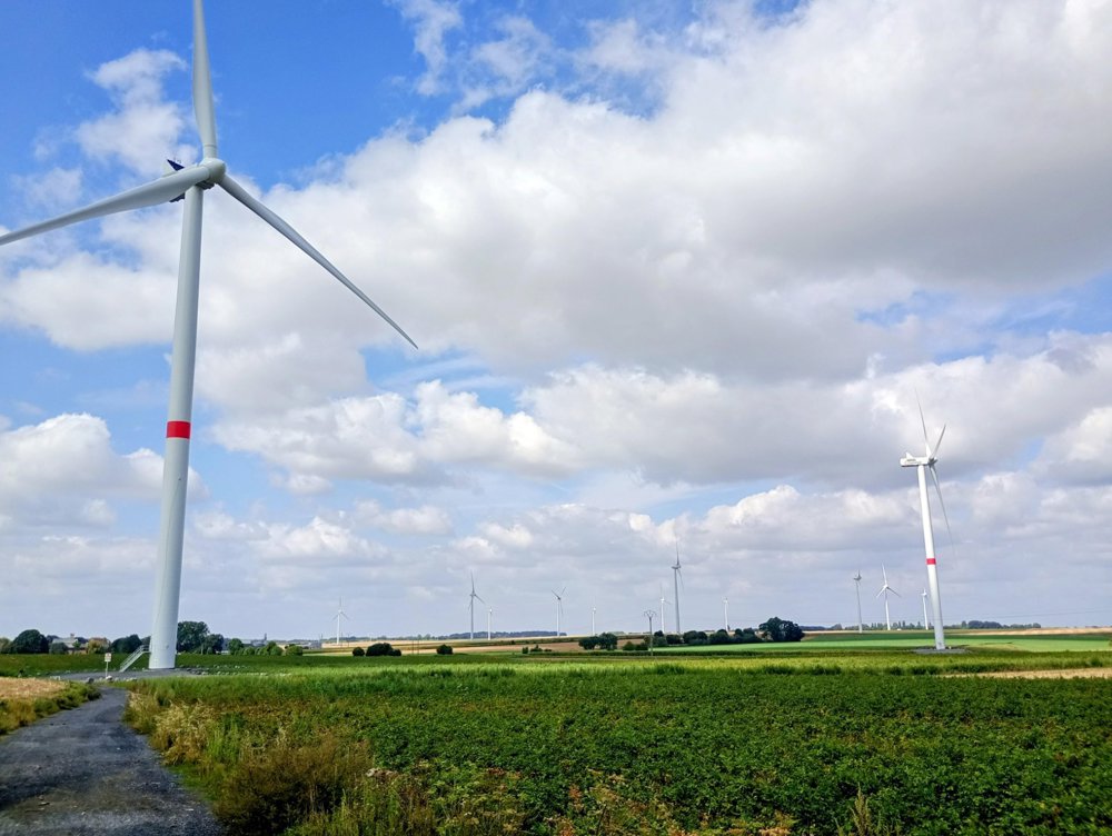
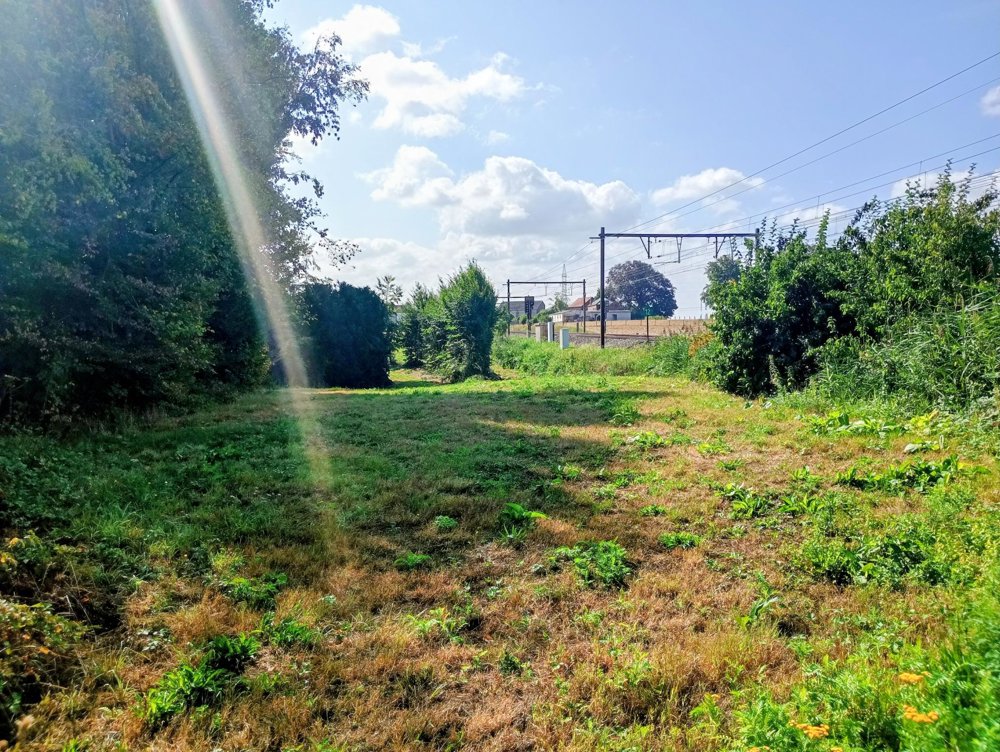
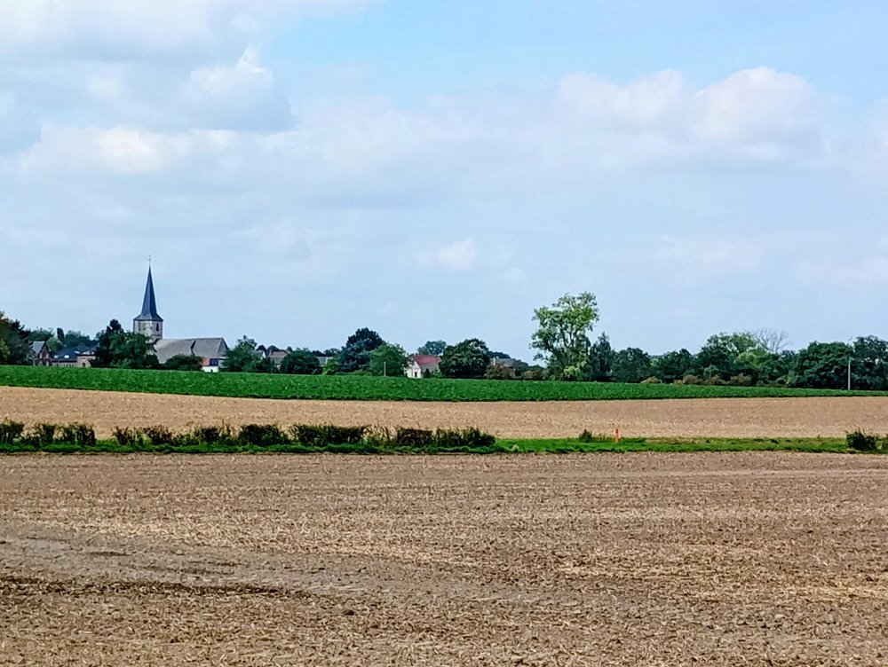
This walk is a true silent walk. We traverse expansive fields and small hamlets. In the distance, we see dozens of wind turbines looming, which we will pass by later. After a stretch along the railway, we reach the charming village of Wagnelée. By the cemetery, we find the first and only bench of the walk.
After rainy periods, the paths can be quite muddy.
There is no food and drink available along the way, but there is still a small village shop in Wagnelée.
automatic translation



 Upgrade to Premium Plus


