 Hiking
 Login
Login
 More
More
 EN
EN
 Premium
Along the creeks of St. Laureins hiking trail
automatic translation
11.9 km • Sint-Laureins
 official route
2.4856 5 4.2/5
 Addresse starting point (approximate)
Leemweg 11, 9980 Sint-Laureins
 signage
The route is fully signposted with nodes.
 Description
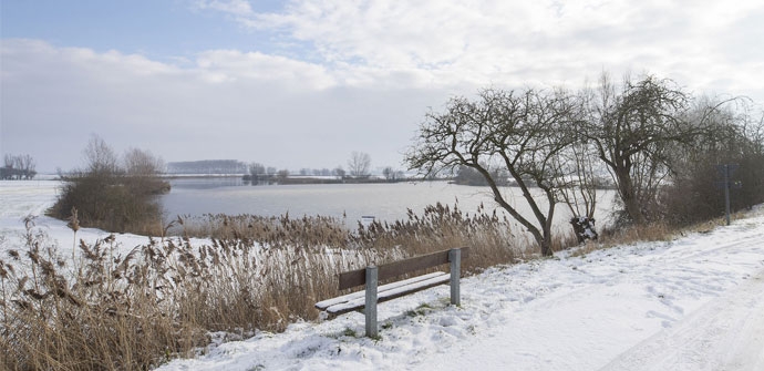
Walking from Sint-Laureins to the creeks Walking route on the Meetjeslandse Kreken hiking network.
The Langs de kreken van Sint-Laureins hiking trail is brought to you by Routen, an initiative of Tourism East Flanders.
automatic translation
 nodes to follow
0 km
0.5 km
0.9 km
1.1 km
2 km
3.5 km
4.6 km
5.1 km
5.5 km
7.2 km
8.5 km
8.5 km
8.6 km
9.9 km
11 km
11.4 km
11.9 km
Monday, August 23, 2021 by Dirk CalsynCreeks, landscapes, tranquility, birds chirping, tractor rumbling. Even enjoyed the fresh breeze
automatic translation
Friday, April 16, 2021 by Frans Van avermaetwonderful walking route,car free paved roads, completely in the agricultural area,that was noticeable today by the tractors that passed me at times.the small well kept foot ferry is a nice idea,congratulations to the creator of it.a walking route to frame.
automatic translation
Friday, January 1, 2021 by Joris Van den BosscheDon't shorten! Ok, you do 2x points 11-50 but between 51 and 12 you take a handspring across the canal. -Blessing, where else can you do that!? Between 50 and 51 you have a fresh fruit/vegetable vending machine, open 24/7, bought nice apples today. At 11 (start/stop), spacious parking and nearby a super cafe and even a few very good restaurants. Nice route !
automatic translation
Monday, November 2, 2020 by Sonja Vanderstappenfollowed the advice of the previous reviewer : indeed beautiful hike, the leopold canal is a gem, the whole meet country is captivating
automatic translation
Monday, August 31, 2020 by C.V.A wonderful walk . I did not start from the village but parked my car near junction 97 and walked the loop that way. So also shortened a bit. Highly recommended !
automatic translation


 Upgrade to Premium Plus
