
 Hiking
 Login
Login
 More
More
 EN
EN
 Premium
Knesselare Countryside Walk
automatic translation
15 km • Aalter
4.9461 0 0/5

 Addresse starting point (approximate)
Groenevijvers 9, 9910 Knesselaere, BE
 signage
The route is not signposted. Use a GPS device or our app to follow the route.
 Description
Departure: Cemetery Parking - Groenevijvers 11 - Aalter
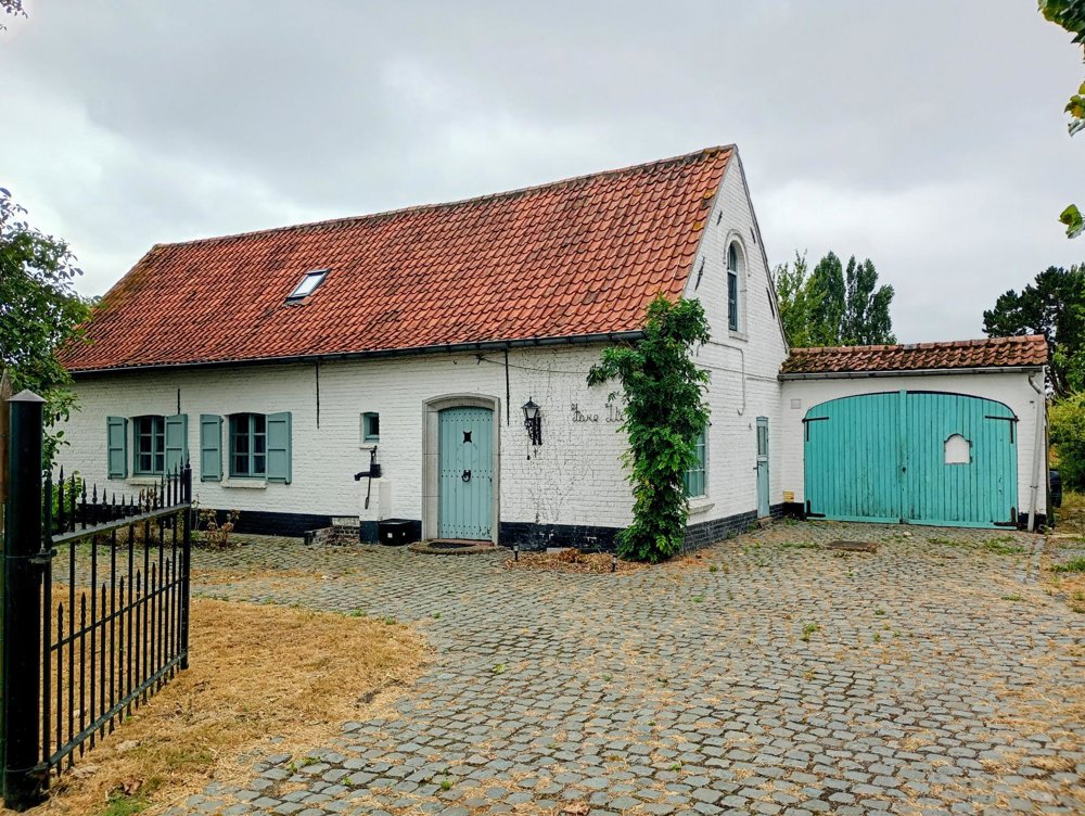
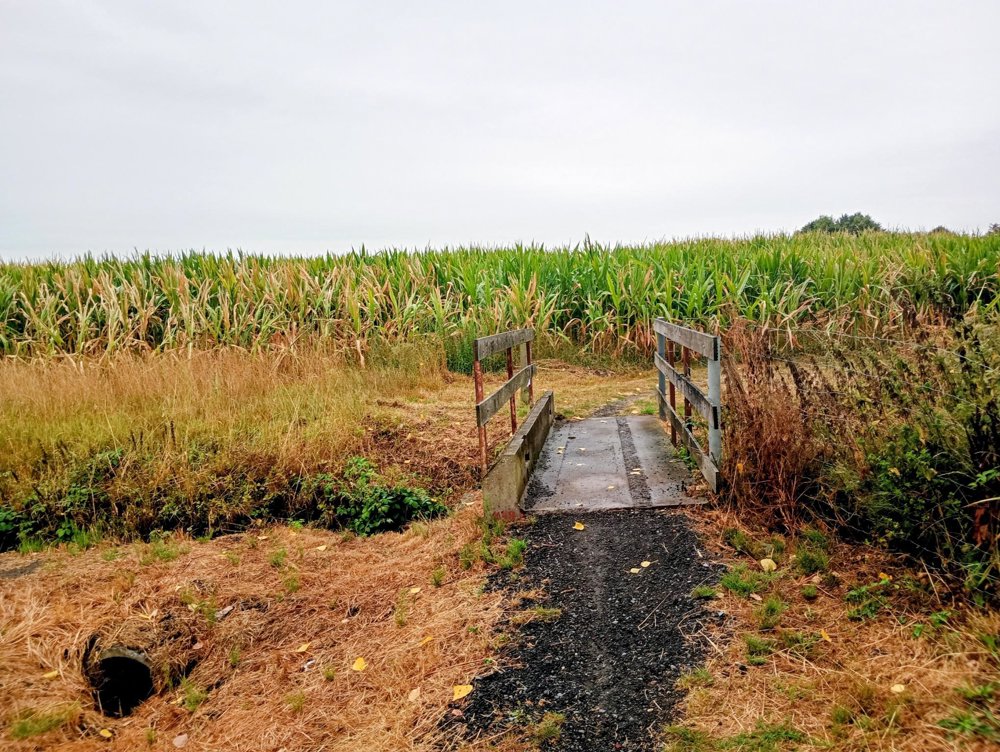
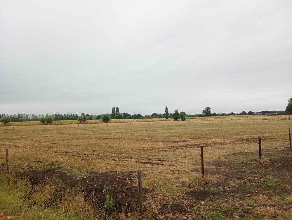
We walk out of the village through the expansive fields, which are bordered in many places by beautiful oak trees. We pass 'the Lange Swiss', a small nature reserve with a unique ash-elm forest.
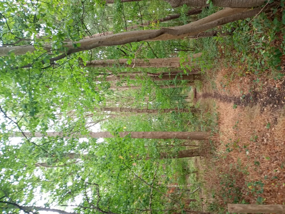
A little further on, we walk through the Torrebos, a varied oak-birch forest. We then cross the busy N44 and head towards the Drongengoed, the largest contiguous forest area in East Flanders. Unfortunately, the noise of the N44 remains constantly present in the background here.
Once out of the forest, we cross the N44 again and return to the starting point.
No dining facilities along the way. In rainy weather, the unpaved roads can be muddy.
automatic translation



 Upgrade to Premium Plus


