 Hiking
 Login
Login
 More
More
 EN
EN
 Premium
Hiking in Ruisbroek
automatic translation
6.6 km • Puurs-Sint-Amands
4.0428 6 3.4/5
route offered by
Toerisme Provincie Antwerpen
 Addresse starting point (approximate)
Ruisbroek-Dorp, 2870 Puurs
 signage
The route is fully signposted with nodes.
 Description
On Saturday, January 3, 1976, a northwest storm rages across Belgium. It is spring tide. In Ruisbroek on the Rupel, the dike over the Vliet, a tidal tributary of the Rupel, breaks. Almost the entire village is flooded. Many inhabitants are taken by surprise and lose almost all their possessions. Over 2,000 people had to be evacuated. As a result of the flooding in Ruisbroek, the government developed the Sigma Plan to strengthen the Flemish river banks.
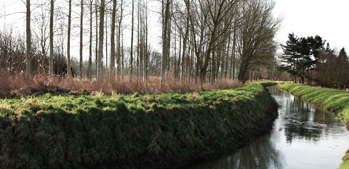
During this 8 kilometer hike you will cross Ruisbroek and discover the impact of the flood on this village and its inhabitants.
Sights: Old presbytery, monument De Redder, Sint-Katharinakerk, Hellegatwiel, Pump Station, commemoration point dike breach, Sint-Catharinakapel, Hof ter Zielbeek, Waterhoek, former town hall of Ruisbroek.
automatic translation
 nodes to follow
0 km
1.4 km
1.7 km
2.3 km
4 km
5.1 km
6.6 km
Saturday, November 8, 2025 by Frie ScholiersHiked on a beautiful and sunny November day with friends group of seniors. Surroundings Hof van Zielbeek. Wooded area in all directions. Great hiking ground.
automatic translation
Wednesday, February 16, 2022 by F.D.Long stretches along track, through residential areas or lane....
automatic translation
Tuesday, April 20, 2021 by Hilde VdVPleasant varied walk along watercourses, woods, railroad, and through neighborhood/village.
automatic translation
Tuesday, January 12, 2021 by Tommy GauwloosBeautiful and varied walk! Fortunately not too many hikers and cyclists along the canal. Piece between 68 and 67 along the railroad is a little less, narrow bike path that almost pass each other!
automatic translation
Thursday, June 27, 2024 by Koen Lauwersbike path was recently repaved and widened.
automatic translation
Saturday, June 27, 2020 by GILBERTE DE BLOCKBeautiful route,part along the Rupel and part in beautiful nature. Next time we take our picnic to relax and enjoy the passing ships along the water . At the little waterfall there is a bench to enjoy the beautiful nature. At bistro Clothilde on the waterfront, you can enjoy the beautiful view of the Rupel. At the end of the route, you can have a nice, fresh pint in bar Bruur at the town hall. We will definitely go back again.
automatic translation
Thursday, June 27, 2024 by Koen LauwersThis route does not run alongside the Rupel River but does run alongside the Scheldt-Brussels Sea Canal.
automatic translation
Sunday, May 24, 2020 by Kris VerduycktRoute partially parallels the route "Around Eikevliet," only shorter. Quiet walk and take a break and enjoy the silence.
automatic translation


 Upgrade to Premium Plus
