 Hiking
 Login
Login
 More
More
 EN
EN
 Premium
Walking in the land of Emile Verhaeren
automatic translation
11.4 km • Puurs-Sint-Amands
5.7863 4 3.6/5
route offered by
Toerisme Provincie Antwerpen
 Addresse starting point (approximate)
Emile Verhaerenstraat 71, 2890 Sint-Amands
 signage
The route is fully signposted with nodes.
 Description
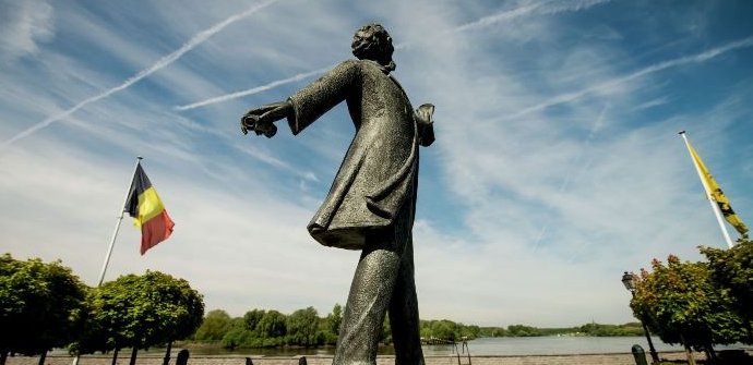
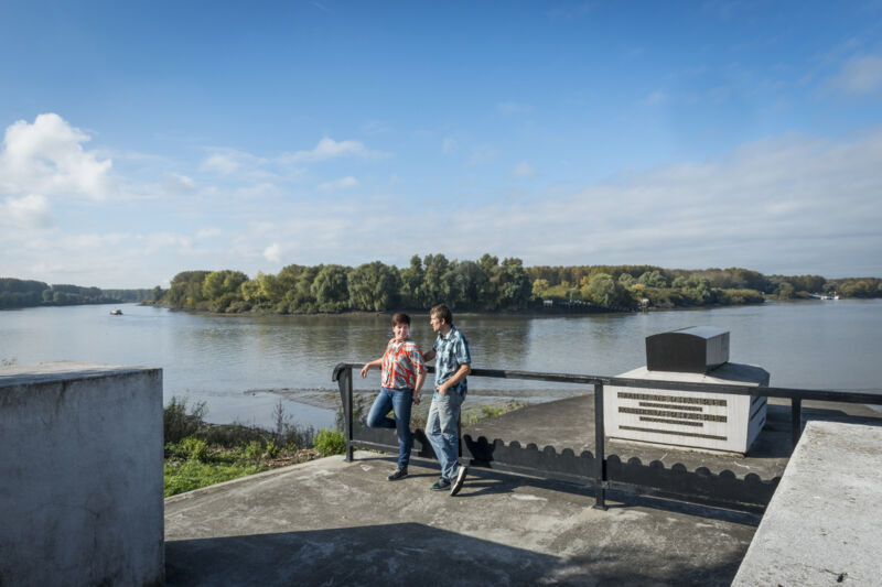
Poet Emile Verhaeren wrote many poems about love, about Flanders and about his native village and childhood years in Sint-Amands. He had a fondness for walking. Every day, after working on his poems in the morning, he went out for a walk. In our region, too, Verhaeren made long trips along country roads and dike paths.
The route "Walking in the country of Emile Verhaeren" takes you along striking places that played an important role in the life of this famous writer-poet.
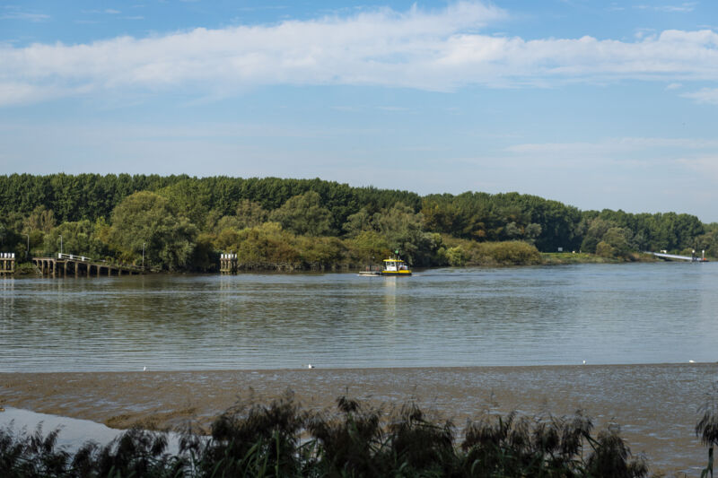
Sights to see: Emile Verhaeren museum, birth house Emile Verhaeren, Kerkstraat, Sint-Amanduskerk, De Dam, Chapel of Our Lady Ten Donkere, Steenovens, De Schelde, statue De Veerman, ferry service Sint-Amands, Kaai, Veerhuis, statue Emile Verhaeren, grave monument Emile Verhaeren, Marthe Massintuin, church of Mariekerke, monument Jan Hammenecker
automatic translation
 nodes to follow
0 km
0.5 km
0.7 km
1.2 km
1.5 km
2.4 km
3.1 km
3.3 km
3.8 km
4.8 km
6 km
7.1 km
8.7 km
8.8 km
9.3 km
10.8 km
11.5 km
Sunday, November 3, 2024 by I.B.Very nice varied walk . A lot in the woods and along the Scheldt . easy to find . Highly recommended.
automatic translation
Friday, March 3, 2023 by Werner LaeversThis walk is not bad but certainly not restful. From node 82 to 35 you walk along the towpath along the river Scheldt where cyclists whiz past you as if they had to win a time trial in the Tour de France. Every 30 seconds a wannabe Tom Boonen crosspoints you. After that, the walk becomes a little ok.
automatic translation
Sunday, February 28, 2021 by M.O.Nice walk with good signage. Too bad much of it goes through built-up areas. But all in all a must on a quiet day; otherwise a lot of bicycle traffic on the towpath.
automatic translation
Thursday, November 12, 2020 by H.H.Pleasant walk through fields, on the towpath, through wooded areas and quiet streets. On the towpath it was quite crowded because of the cyclists, but the other parts were very quiet. Well signposted, except for point 36 at the cemetery.
automatic translation


 Upgrade to Premium Plus
