
 Hiking
 Login
Login
 More
More
 EN
EN
 Premium
Fly Eaters hiking trail
automatic translation
11.2 km • Lebbeke
 official route
4850 6 2.8/5

 Addresse starting point (approximate)
Dorpsplein, 9280 Wieze
 signage
The route is fully signposted with thematic signs (no nodes).
 Description
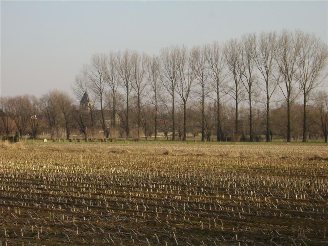
Stroll past various sights in beer and chocolate village Wieze, such as the Neerhof, Callebaut chocolate factory and den dikken eik. Pass through natural gems like the Wiestermeersch and the Bleekte. Fly-eaters is a nickname for the Wiezen people, who were said to have been particularly stingy at the time.
automatic translation
Wednesday, November 2, 2022 by D.B.Did this walk today. The could be a very nice walk (5) if there were more signs. It's a real hassle to follow the trail. There are also few street names along the way which makes orientation to follow the road (without signs) even more difficult.
automatic translation
Monday, December 27, 2021 by C.P.Quiet, boggy start through Wiestermeers; route stepped after very rainy period. Start & also last 2km through a very soggy field. Fortunately no electricity on the fences & I was able to clamber over & step through the meadow. In the background (delicious) smell of Barry Callebaut. Free P around the church. No wow feeling, ok though.
automatic translation
Wednesday, February 17, 2021 by Martine De wolfAdditional : the starting point of the hike (green flag) is in a wrong place on the map. The hike starts at the church, Wiezeplein (and thus not "Dorpsplein") as mentioned above. - I also only noticed it when I was already on my way from the indicated flag on the map :-)
automatic translation
Wednesday, February 17, 2021 by Martine De wolfA little disappointing, this hike.... The signs are not really clearly placed. Result : 1,5 km extra by walking the wrong way. Fortunately Google Maps exists to know where you are. ~ The surroundings were also a bit disappointing : lots of buildings, busy roads. Some nice pieces of nature here and there, but I expected more...
automatic translation
Friday, October 9, 2020 by GILBERTE DE BLOCKDid this route today. It was a nice walk,along the fields but somewhere at Rooien, we did not find a sign anymore and did not know where we were. Had to ask for directions. After some walking we finally found the sign again. Sometimes did walk on dangerous lanes where there was no footpath, and lots of cars.
automatic translation
Tuesday, July 7, 2020 by Freddy Van MelkebekeA beautiful and varied walking route. Now today July 7, 2020 were still a few signs hidden behind too high grass or branches.
But still nice walk.
automatic translation



 Upgrade to Premium Plus


