
 Hiking
 Login
Login
 More
More
 EN
EN
 Premium
Exploring Herentals
automatic translation
8.5 km • Herentals
 official route
9.36611 1 5/5

 Addresse starting point (approximate)
Netepark, Vorselaarsebaan 56, 2200 Herentals
 signage
The route is fully signposted with nodes.


 Description
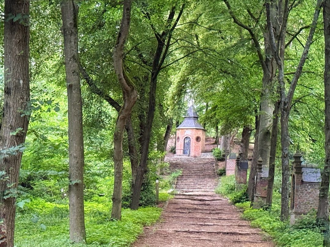
Can’t decide between the city, the water, or the dunes? You don’t have to! This 8.5-kilometer walk brings the best of all three together. You’ll set off toward the historic center of Herentals. Passing through the picturesque beguinage, you’ll walk to the banks of the Kleine Nete. You’ll walk right into De Hellekens Nature Reserve. From the observation deck, you can spot birds, Galloway cattle, and the new meanders of the Kleine Nete. The pedestrian bridge takes you from Olens Broek to the Kempense Heuvelrug. Sand dunes in sight! You’ll finish at the highest point in Herentals, near the Tourist Tower.
Tip: Unfortunately, the Tourist Tower is currently closed (scheduled to reopen in summer ’27). Fortunately, you can quench your thirst in the cafeteria or enjoy your picnic at the base of the tower.
automatic translation
 nodes to follow
0 km
0.4 km
0.5 km
1.6 km
1.8 km
2.3 km
3.1 km
3.4 km
3.8 km
4.2 km
4.6 km
5.2 km
5.6 km
6.1 km
6.4 km
6.5 km
6.7 km
7.3 km
8.5 km



 Upgrade to Premium Plus


