
 Hiking
 Login
Login
 More
More
 EN
EN
 Premium
Hertberg: Along the Forest and Pond (Expansion)
automatic translation
13.2 km • Herselt
 official route
7.1752 0 0/5

 Addresse starting point (approximate)
Herberg Mie Maan, Diestsebaan 28, 2230 Herselt
 signage
The route is fully signposted with nodes.
 Description
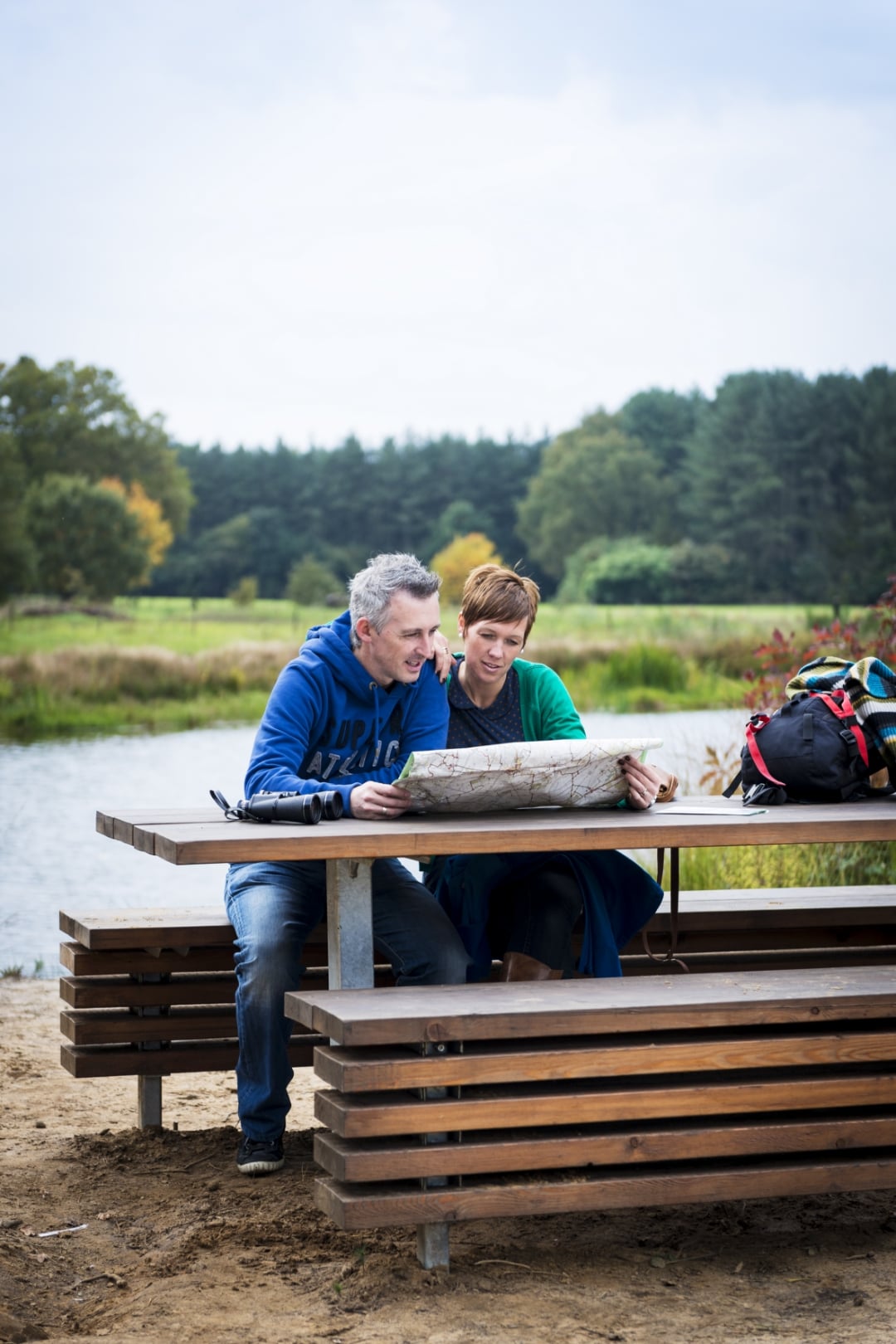
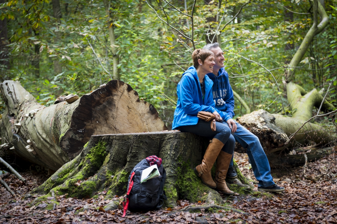
Need some fresh forest air? Head to the Hertberg Provincial Green Space in Herselt. On the “Through Woods and Marshes” hike, you’ll get a 7.6-kilometer dose of fresh air. Herberg Mie Maan—where the scent of fresh cake and coffee fills the air—is your base. The route winds along forest trails and sandy paths through the vast forests of Merode. Shh, with a little luck, you might spot a heron by the pond or even a fawn at dusk. Still have energy? Choose the long route (13 km) and extend your forest immersion with charming little streets and open landscapes.
automatic translation
 nodes to follow
0 km
0.4 km
0.4 km
1.8 km
2.3 km
2.5 km
3.3 km
3.4 km
3.7 km
4 km
4.4 km
5.2 km
5.4 km
7 km
7.6 km
7.8 km
9.1 km
9.9 km
10.7 km
11.1 km
11.8 km
12.9 km
13.1 km



 Upgrade to Premium Plus


