
 Hiking
 Login
Login
 More
More
 EN
EN
 Premium
Around the ferry of Appels
automatic translation
8.2 km • Berlare
7.6439 0 0/5

 Addresse starting point (approximate)
Waterhoek 12, 9290 Berlare, BE
 signage
The route is fully signposted with nodes.
 Description
You can park near the starting point at walking junction 65.
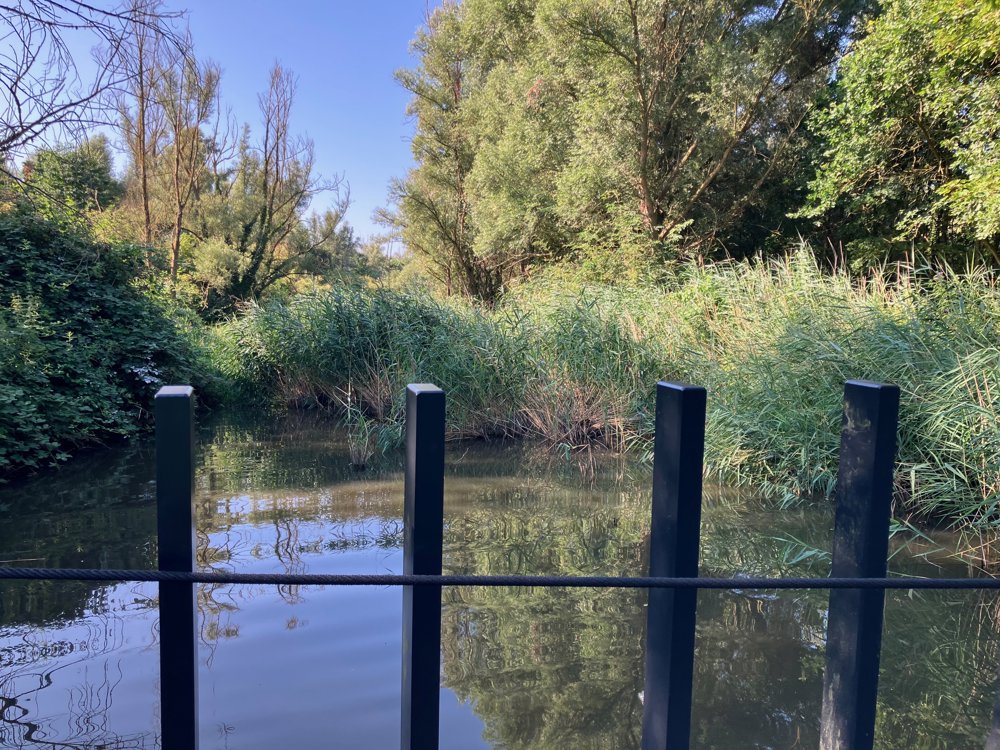
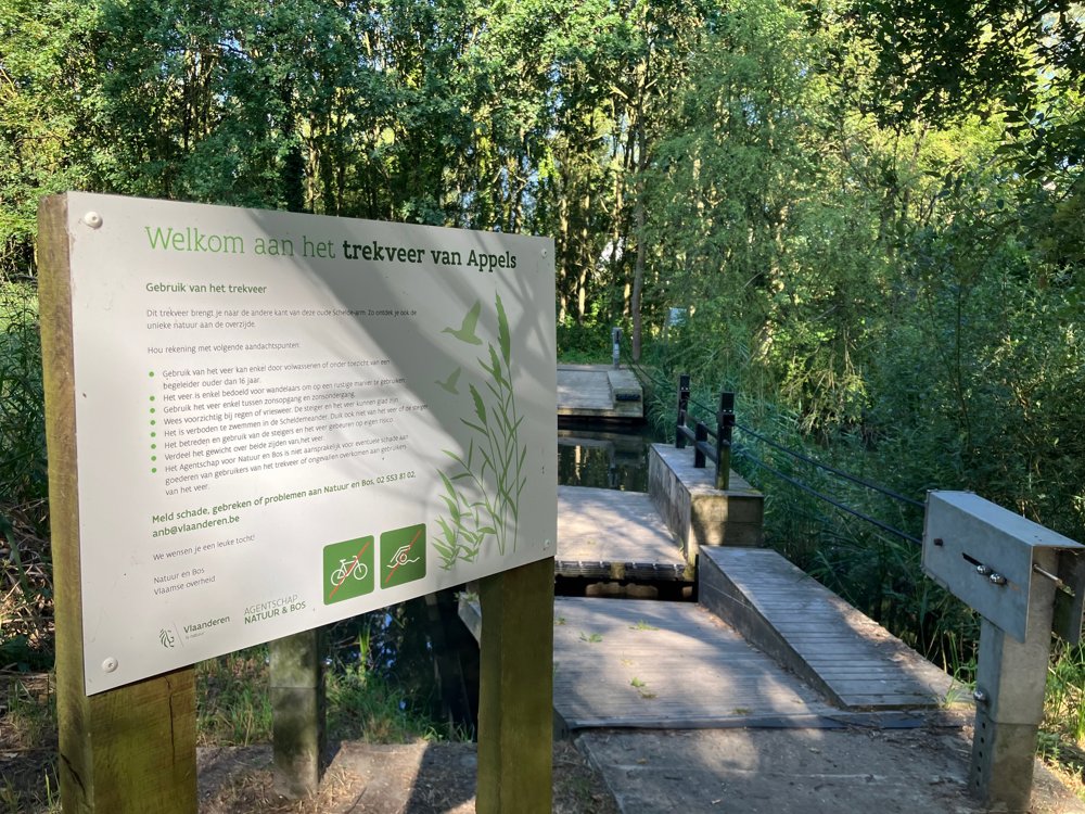
From there, you go to the ferry towards junctions 64 and 70. There is a crossing every half hour.
Then, walk along the Scheldt to junction 69 and from there dive into a beautiful piece of nature (around a former landfill?).
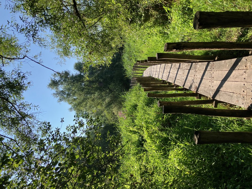
A hand-pulled ferry and boardwalks take you back along the Scheldt via junctions 72, 34, and 68.
Back at the ferry, we cross to the left bank and go left towards junction 62.
From there, we enter a nature reserve known as Waterhoek where (depending on the season) numerous birds can be spotted, especially from junction 66 where we walk up to our starting point on a dike, offering a beautiful view of the vast meadows both left and right.
automatic translation
 nodes to follow
0 km
0.3 km
0.5 km
0.6 km
1.3 km
1.7 km
2.5 km
2.9 km
3.1 km
3.2 km
3.6 km
4.5 km
4.9 km
5.5 km
6.6 km
7 km
7 km
7.2 km
8.2 km



 Upgrade to Premium Plus


