
 Hiking
 Login
Login
 More
More
 EN
EN
 Premium
from Bousval to the abbey of Villers-la-Ville
automatic translation
12.3 km • Genappe
4.2856 0 0/5

 Addresse starting point (approximate)
Rue Point du Jour 14A, 1470 Genappe, BE
 signage
The route is not signposted. Use a GPS device or our app to follow the route.
 Description
Departure: cemetery parking - rue du Point du Jour - Bousval
We walk past the church of Bousval. The old stained-glass windows were replaced in 2016 with modern painted glass panels.
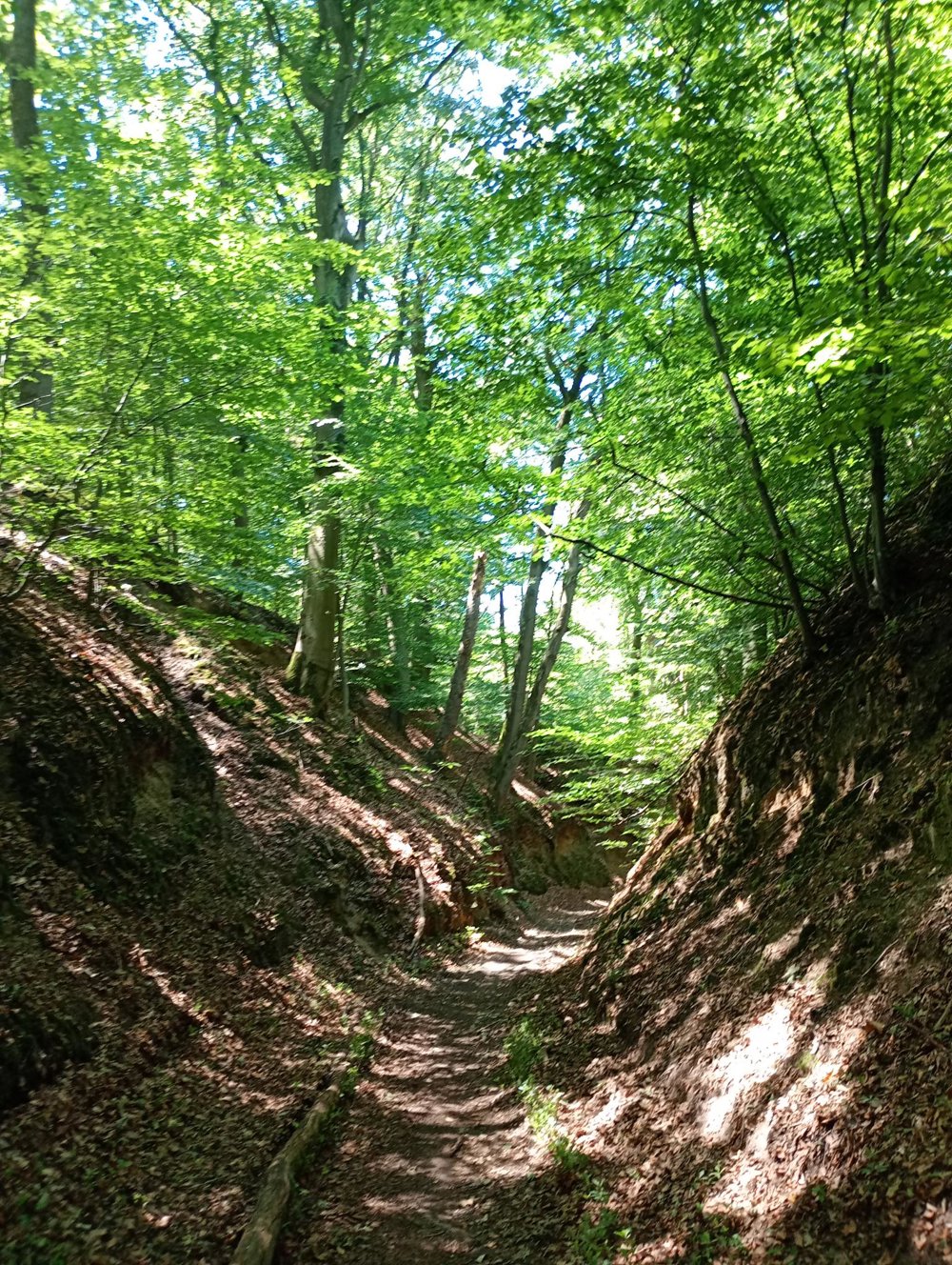
We leave the village and through the fields we reach the beautiful chapel of Try-sur-Chêne. Next, we go through the Hez forest. Here, it first goes steeply downhill and then again steadily uphill. Walking sticks are definitely recommended here.
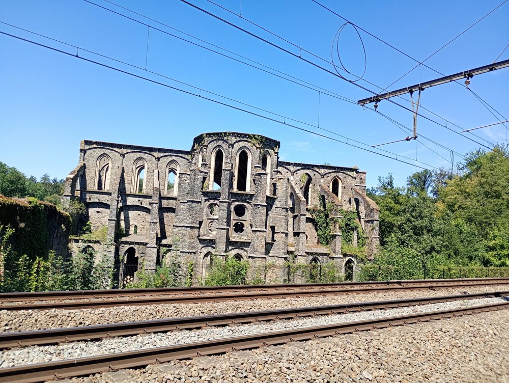
At the ruins of the Villers-la-Ville abbey, a sanitary stop is possible. After the French Revolution, the abbey was sold to a building materials merchant who systematically demolished the impressive building complex. Later, in 1851, the Charleroi-Leuven railway line was also built over the abbey domain.
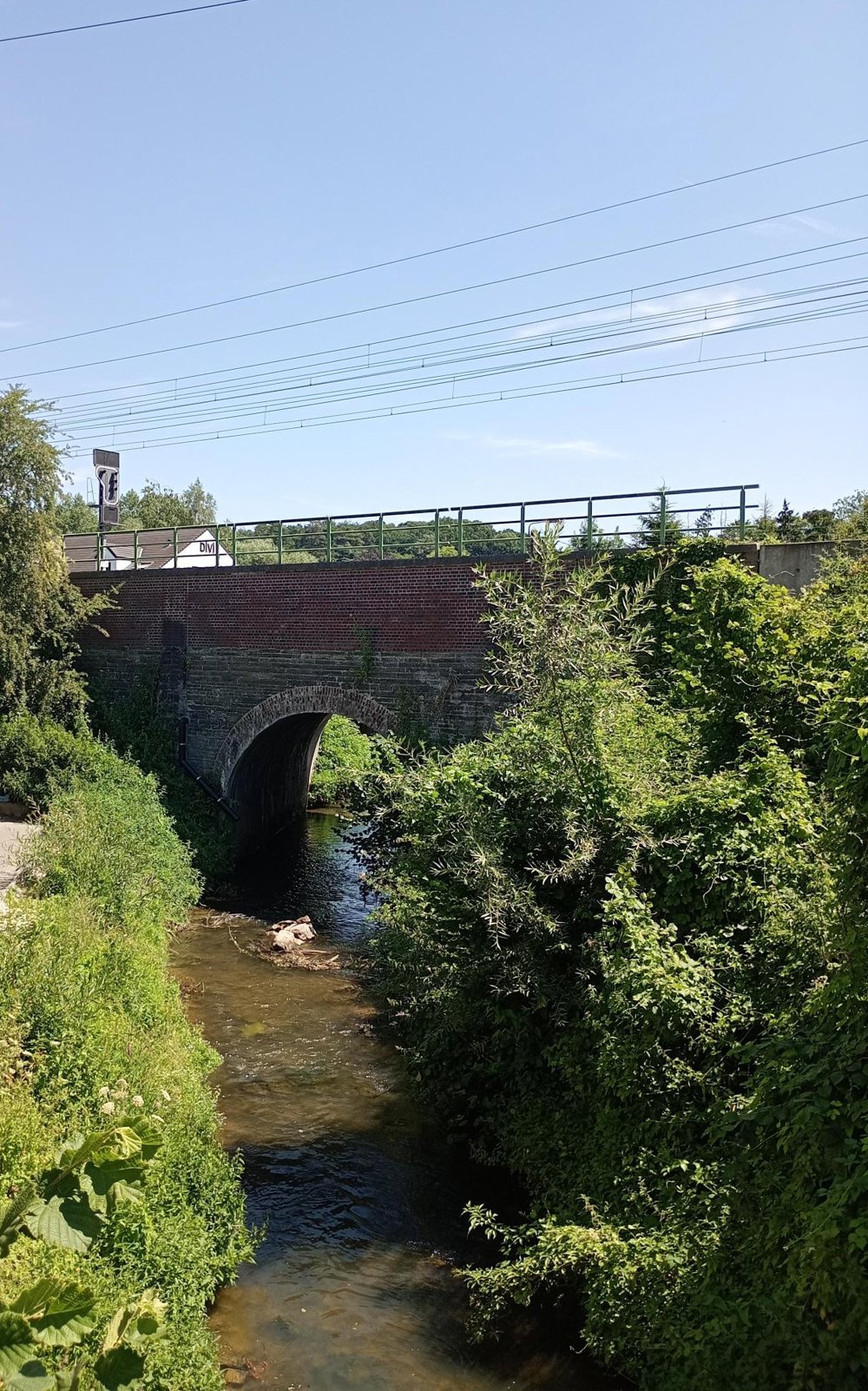
Then we walk through the forest and along the railway line back towards Bousval. A section of the forest path has been partially washed away by heavy rain here. Along the way, we pass La Roche, a hamlet where there is still a small station.
automatic translation



 Upgrade to Premium Plus


