 Hiking
 Login
Login
 More
More
 EN
EN
 Premium
Through heathland and marshes in the Visbeek Valley
automatic translation
12.9 km • Wechelderzande
 official route
140 0 0/5
12.9 km
0.0 km
0.0 km
 Addresse starting point (approximate)
parkeergaard Hof d'Intere, Pastorijstraat 2, 2275 Wechelderzande
 signage
The route is fully signposted with nodes.
© TPA
 Description
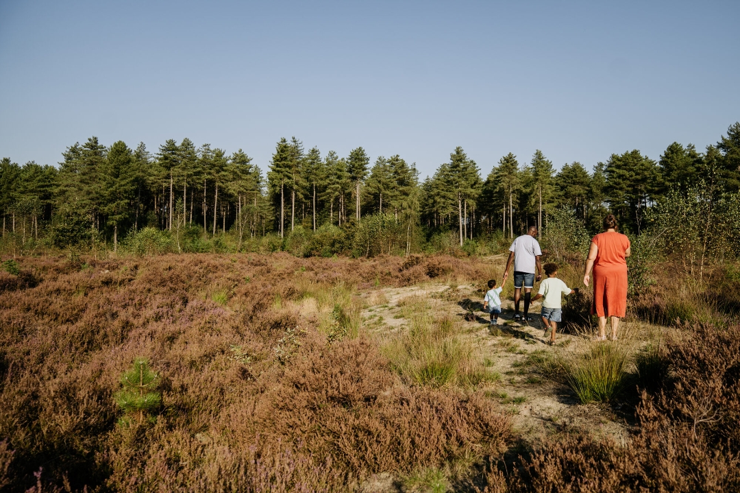
The Visbeek Valley is a typical Kempen stream valley, consisting of a succession of marshes, forests, heathland, gale-bush thickets, scrub, and grasslands. Through initiatives such as the LIFE Visbeek project, Natuurpunt Lille has restored the area’s natural environment to attract even more plants and animals. Come breathe in the fresh air and enjoy the beautiful landscapes around you.
automatic translation


 Upgrade to Premium Plus
