 Hiking
 Login
Login
 More
More
 EN
EN
 Premium
Wandering through the dunes and heathland
automatic translation
11 km • Kasterlee
 official route
100 0 0/5
 Addresse starting point (approximate)
Herentalsesteenweg 64A, 2460 Kasterlee
 signage
The route is fully signposted with nodes.
 Description
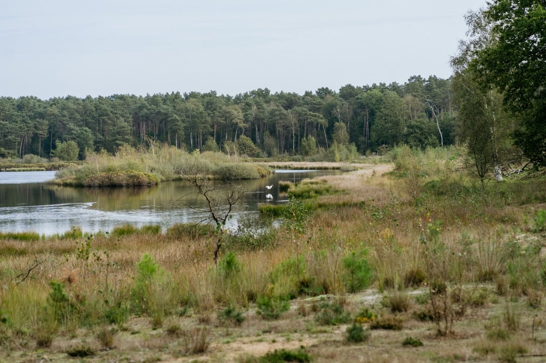
Need a moment of Zen? Let your thoughts wander for 11 kilometers across the landscape of the Kempense Heuvelrug in Kasterlee. The very name of this long, stretched-out dune sounds like something out of a fairy tale. Long ago, this rolling landscape was left behind when the sea receded. Today, you can relax here among sand dunes, forests, heathland, and ponds. At junction 20, the Zwart Water nature reserve awaits: a dark-colored pond where frogs, dragonflies, and countless water birds steal the show. Settle into the bird-watching hut and feast your eyes. Starting in mid-August, the heathlands turn purple—now that’s truly magical!
automatic translation
 nodes to follow
0 km
0.3 km

1.5 km
1.5 km
1.6 km
1.8 km
2 km
2.7 km
4.3 km
5 km
6.3 km
6.4 km
7 km
8.8 km
9.1 km
10.4 km
10.8 km


 Upgrade to Premium Plus
