 Hiking
 Login
Login
 More
More
 EN
EN
 Premium
Liedekerke through fields and nature areas
automatic translation
8.2 km • Liedekerke
2351 0 0/5

 Addresse starting point (approximate)
Pamelsestraat 151, 1770 Liedekerke, BE
 signage
The route is not signposted. Use a GPS device or our app to follow the route.

 Description
Departure: parking Sports hall and swimming pool - Sportlaan 5 - Liedekerke
There is a lot of construction in this area, so on our walk the sound of traffic is never far away.
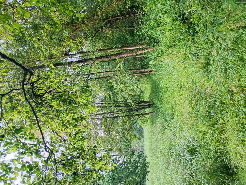
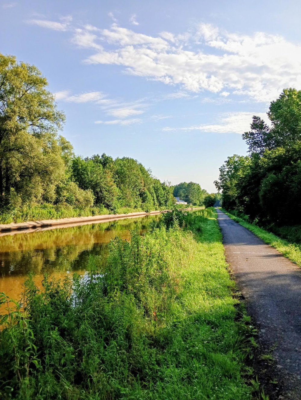
The walk itself goes over quiet, traffic-free roads. The first 2 km go over field paths to the cycle path along the Dender, and this up to the monument of 'the Fat Man of Pamel'.
The nature reserve between junction 46 and 837 is very beautiful, but I have not included it in the walking route. It is a very marshy area with tall reed fields and blackberry bushes that are difficult to get through. I have the impression that nature is left to take its course here and that these footpaths will become completely overgrown and impassable in a very short time.
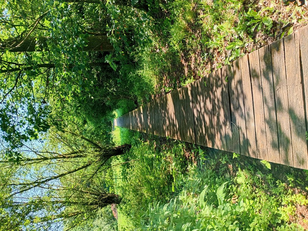
The return journey after the cycle path goes through the Palitsebeek nature reserve, with beautiful boardwalks.
automatic translation
 nodes to follow
0 km
0.5 km
0.9 km

1.2 km
2 km
3.1 km
3.7 km
3.9 km
4.3 km
4.8 km
4.8 km
5.4 km
6.4 km
7.3 km
7.8 km
8.2 km
8.2 km
8.2 km


 Upgrade to Premium Plus
