
 Hiking
 Login
Login
 More
More
 EN
EN
 Premium
Sint-Genesius-Rode & Waterloo
automatic translation
12.2 km • Sint-Genesius-Rode
2.9715 1 5/5

 Addresse starting point (approximate)
Weidestraat - Rue du Pré 12, 1640 Sint-Genesius-Rode - Rhode-Saint-Genèse, BE
 signage
The route is not signposted. Use a GPS device or our app to follow the route.
 Description
Departure: sports grounds - Weidestraat - Sint-Genesius-Rode
A journey from a bilingual Flemish facility municipality to Walloon Waterloo.
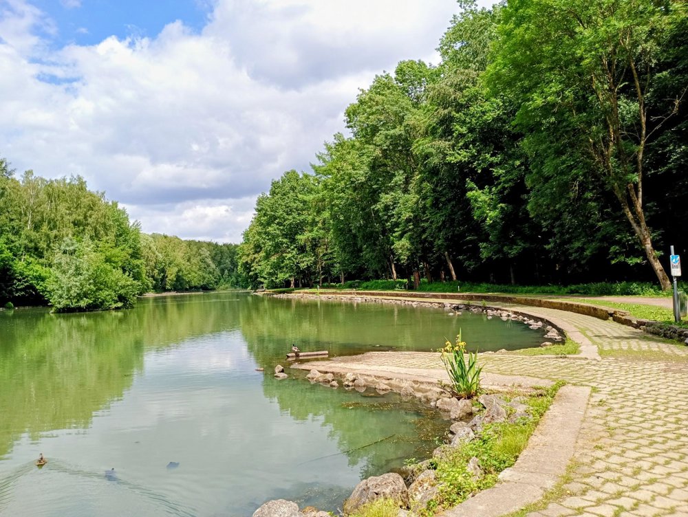
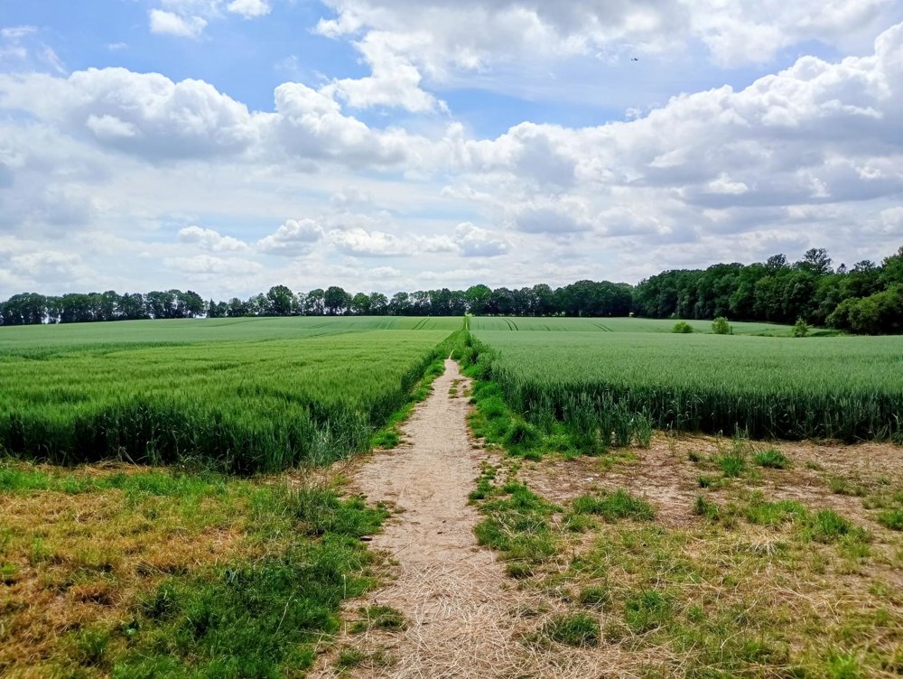
We head towards the Elzenbos and then walk through vast fields to the pond at Le Patiaux, an artificially but beautifully designed floodplain area with a fitness trail around it. I am always surprised by how much agricultural land is still actively cultivated in this Brabant region. Yet, the area is primarily known for its stately villas, extensive estates, and by extension, business parks and shopping centers for the (mostly British) expats who have settled here.
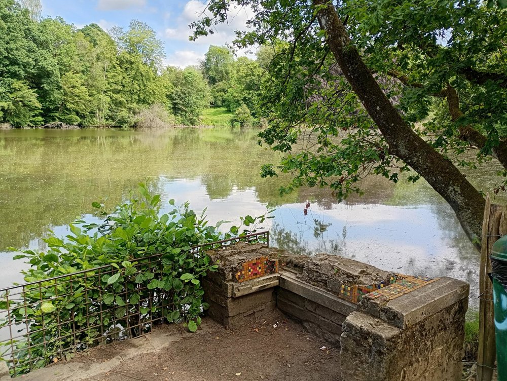
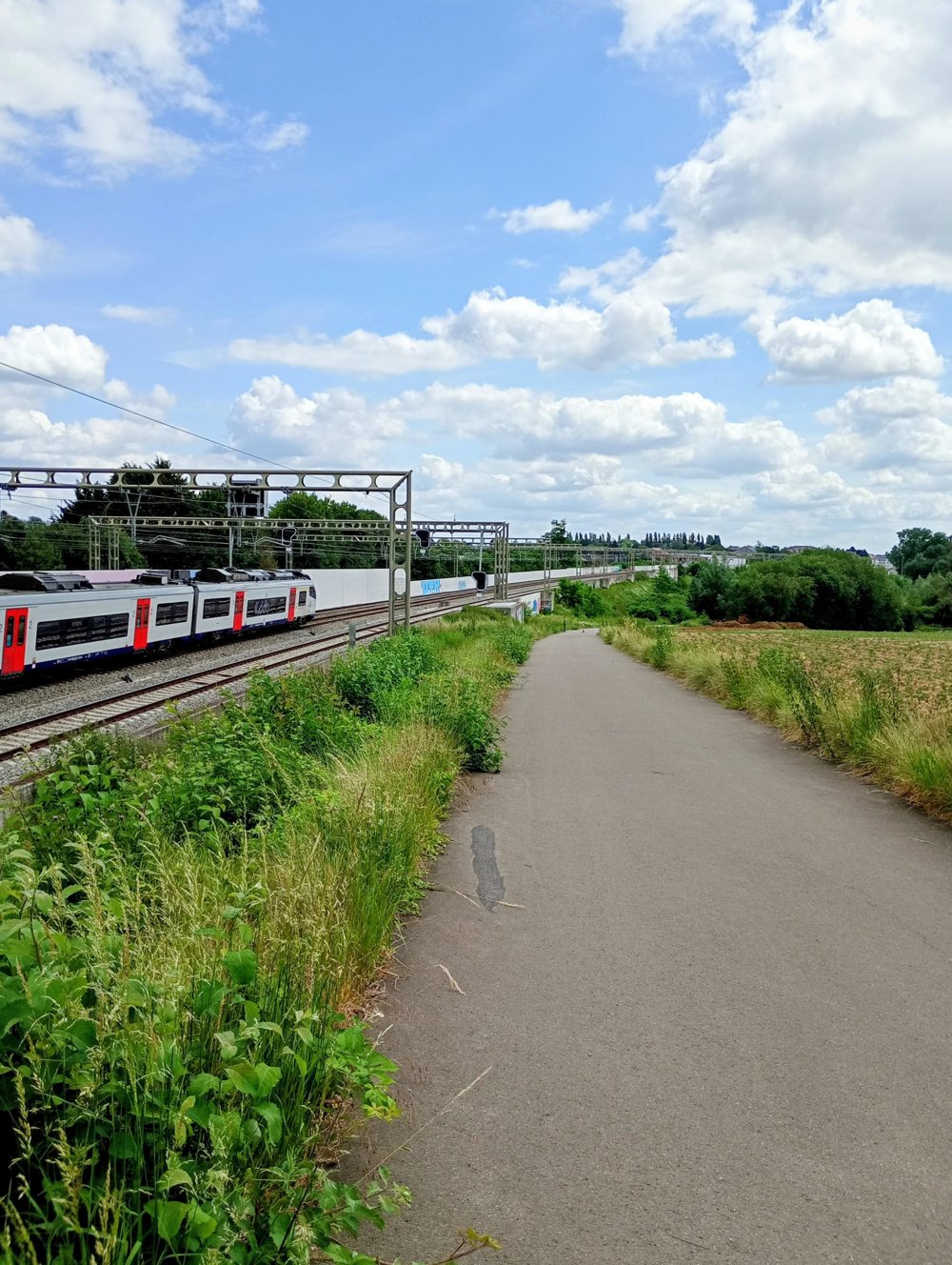
We then follow the cycle path alongside the railway back to Flanders, where we pass by several ponds. Of these ponds, only the Lansrodevijver is visible; the others are hidden behind high fences or dense hedges. We then return to the starting point.
No catering on the way. Wearing long trousers is definitely recommended.
automatic translation



 Upgrade to Premium Plus


