
 Hiking
 Login
Login
 More
More
 EN
EN
 Premium
Eindhout: long live the patchwork!
automatic translation
9.2 km • Eindhout (Laakdal)
 official route
2.5361 0 0/5

 Addresse starting point (approximate)
Kasteel KaNeel, Eindhoutdorp 13, 2430 Eindhout (Laakdal)
 signage
The route is fully signposted with nodes.

 Description
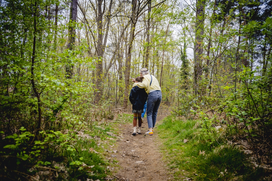
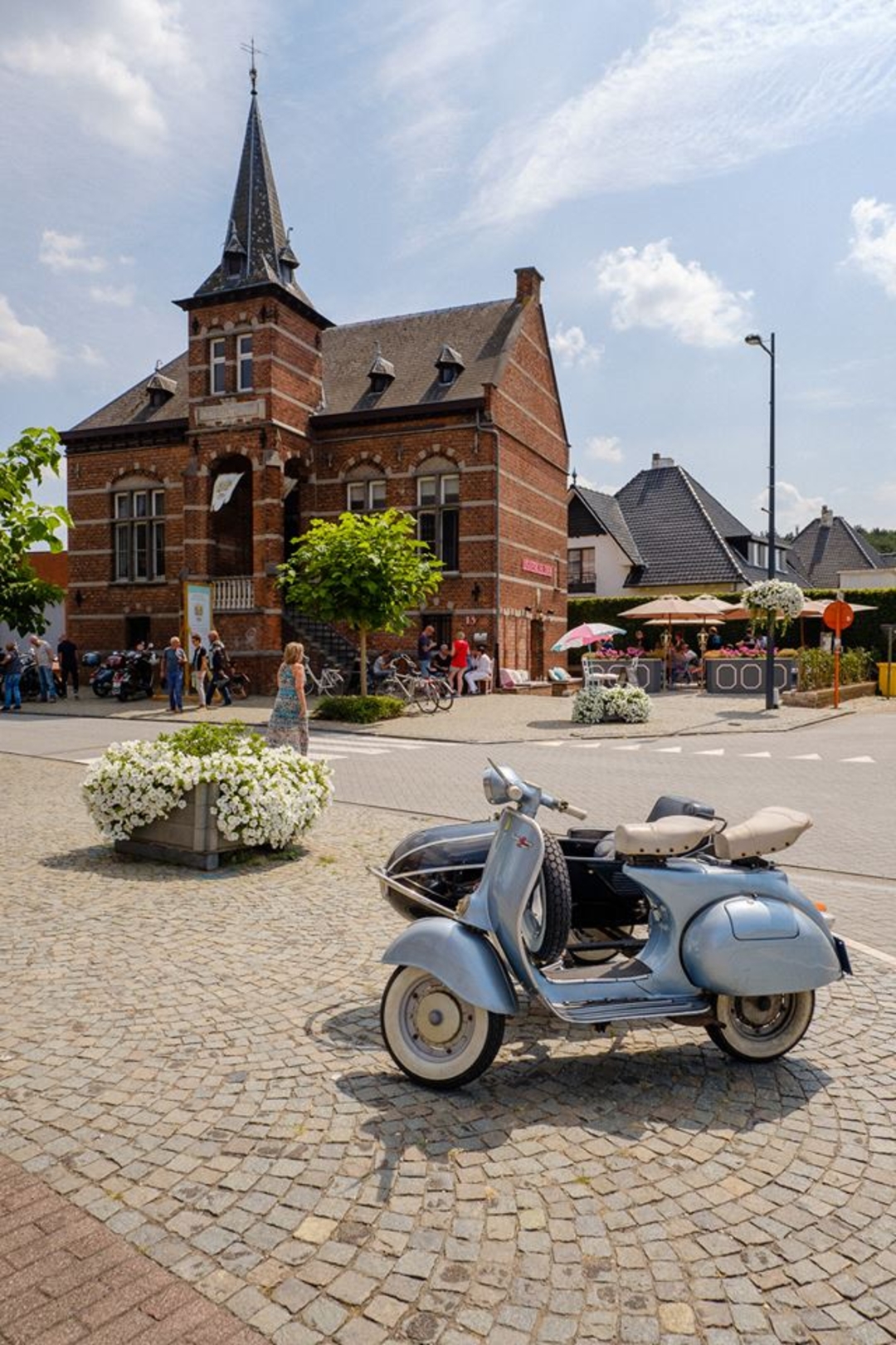
Looking at the map of Eindhout, one sees a patchwork of houses, businesses, playgrounds, forests, open nature, water catchment ... From a very large plant grower to the local soccer club, all functions blend together here. In addition to the many natural areas of Landscape Park de Merode, here we also embrace this typically Flemish mishmash. It says something about the essence of a landscape park, namely that it is also good to live, work and play. Day in, day out. That balance and cooperation are important, in a Flanders where space is so scarce. This patchwork provides a surprising and varied walk in Eindhout.
This is one of the nine walks from the book 'Ode aan de Merode 9X'. Get carried away by music, images and compelling stories about Landscape Park de Merode.
More info at bezoekdemerode.be.
automatic translation
 nodes to follow
0 km
0.5 km
1 km
1.2 km
1.8 km
2.6 km
2.8 km
3.4 km
3.4 km
5 km
6.4 km
7.1 km
7.6 km
8.7 km
9.1 km



 Upgrade to Premium Plus


