
 Hiking
 Login
Login
 More
More
 EN
EN
 Premium
Westmeerbeek: medieval péage and caves à volonté
automatic translation
4.2 km • Westmeerbeek (Hulshout)
 official route
2.0973 1 1.5/5
4.2 km
0.0 km
0.0 km

 Addresse starting point (approximate)
Sint-Michielskerk, Netestraat 6, 2235 Westmeerbeek (Hulshout)
 signage
The route is fully signposted with nodes.
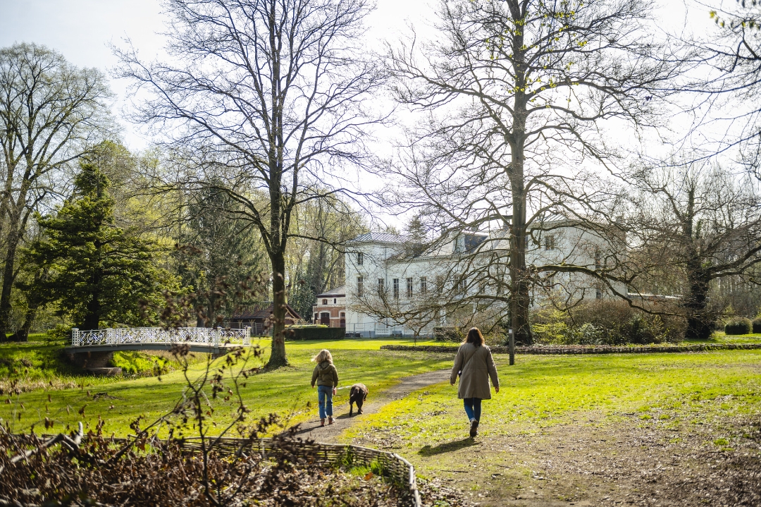
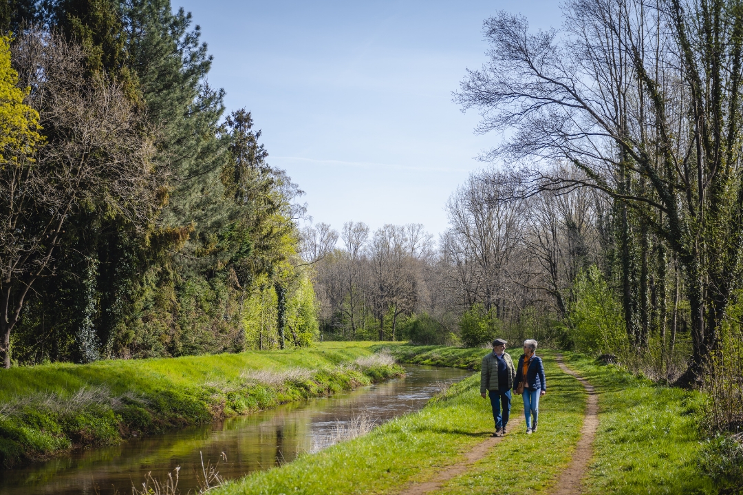
© Landschapspark de Merode
 Description
Westmeerbeek has a landscape to peel off like an onion. The borough of Hulshout does not stand out at
at first glance does not stand out. Digging down to the core, however, you discover the different layers of history.
This is one of the nine walks from the book 'Ode aan de Merode 9X'. Get carried away by music, images and compelling stories about Landscape Park de Merode.
More info at bezoekdemerode.be.
automatic translation
 nodes to follow
0 km
0.8 km
1.8 km
2.9 km
3.1 km
3.4 km
4 km
4.2 km



 Upgrade to Premium Plus


