
 Hiking
 Login
Login
 More
More
 EN
EN
 Premium
Averbode: impressed by princes and abbeys
automatic translation
7.2 km • Averbode
 official route
1.6703 0 0/5

 Addresse starting point (approximate)
Abdij van Averbode, Abdijstraat 1, 3271 Scherpenheuvel-Zichem
 signage
The route is partially signposted with nodes. Use a GPS device or our app to follow the route.
 Description
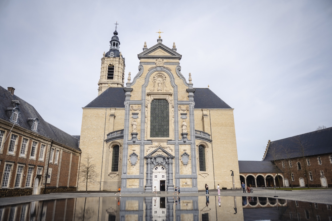
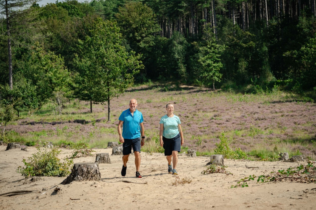
Where the provinces of Antwerp, Limburg and Flemish Brabant meet, the Premonstratensians of Averbode settled almost 900 years ago. Around their imposing abbey lies an equally impressive nature reserve, which for a long time was owned by the Princes de Merode.
It is certainly also worth the effort to walk back to junction 100 along the old abbey walls, and then make a small loop past the famous ‘Lekdreef’ and the Coronation Chapel.
Please note: during the breeding season, between 1 April and 1 July, the section between junctions 101 and 102 is closed. During this period, please proceed directly from junction 286 to junction 104.
This is one of the nine walks from the book 'Ode aan de Merode 9X'. Get carried away by music, images and compelling stories about Landscape Park de Merode.
More info at bezoekdemerode.be.
automatic translation
 nodes to follow
0 km
0 km
0.5 km
1.5 km
1.9 km
2.5 km
3.5 km
3.6 km
3.9 km
4.6 km
4.8 km
4.9 km
5.2 km
5.5 km
5.7 km
6.4 km
6.4 km

6.7 km
6.8 km
7.1 km



 Upgrade to Premium Plus


