
 Hiking
 Login
Login
 More
More
 EN
EN
 Premium
Ittre - varied loop walk
automatic translation
15.4 km • Ittre
9091 0 0/5

 Addresse starting point (approximate)
Rue De La Montagne 2, 1460 Ittre, BE
 signage
The route is not signposted. Use a GPS device or our app to follow the route through the virtual nodes.
 Description
Departure: free parking at the church of Saint Rémy - rue de la Montagne 4 - Ittre (not on Friday afternoon - market!).
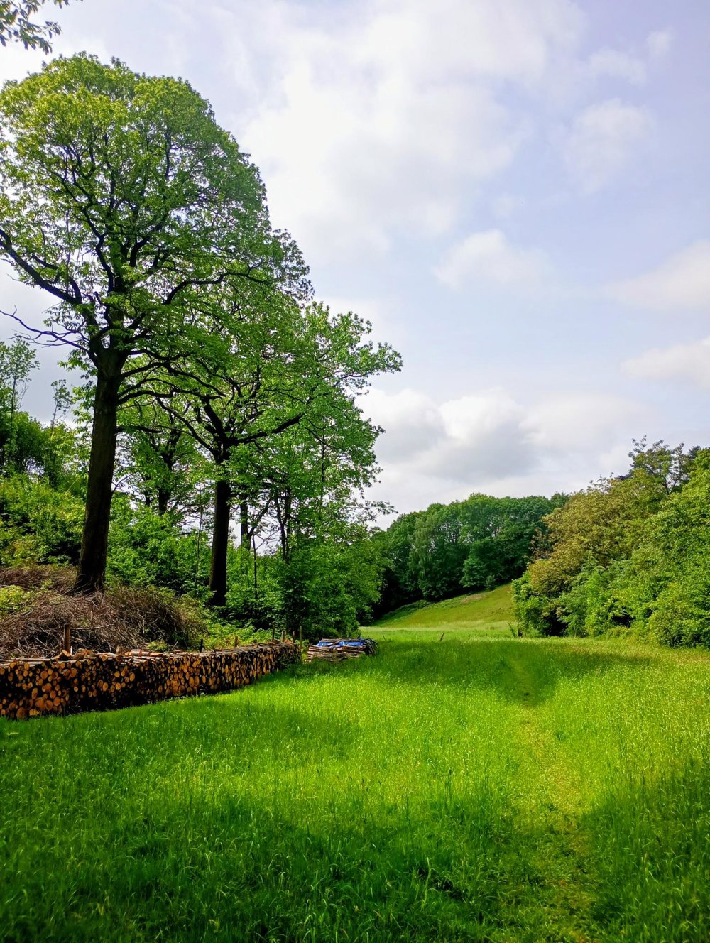
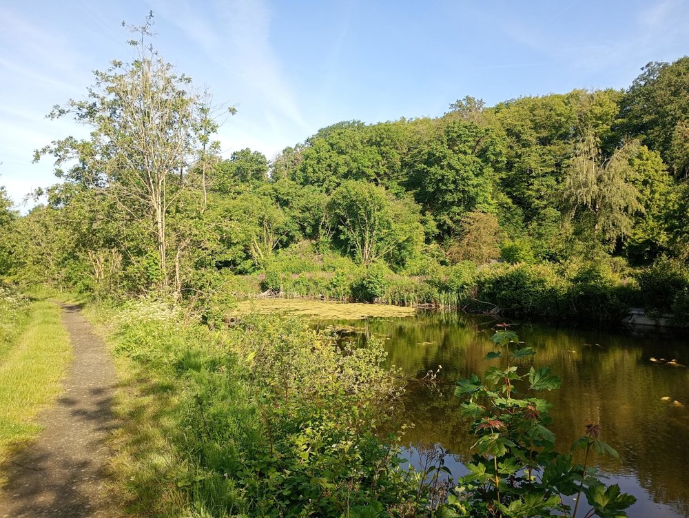
We leave the village via a narrow forest path and arrive a few kilometers further at the canal. There, we walk a bit along an old canal arm, which has been transformed into a beautiful nature area. Then, we continue along the bike path to another piece of nature at the Senette, a tributary of the Zenne.
After the bridge, we continue walking along the Bois d'Oisquercq, which is unfortunately privatized and completely closed. Then, we follow a part of the RAVeL bike path to finally head towards the Bois des Frères through woods and surrounding fields.
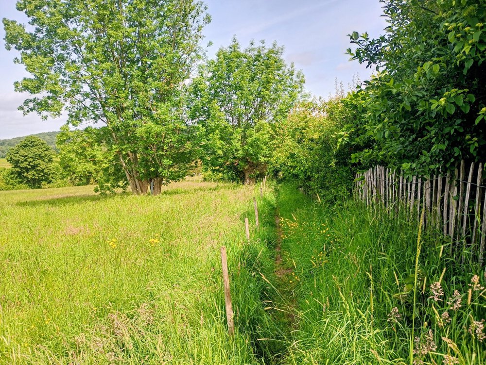
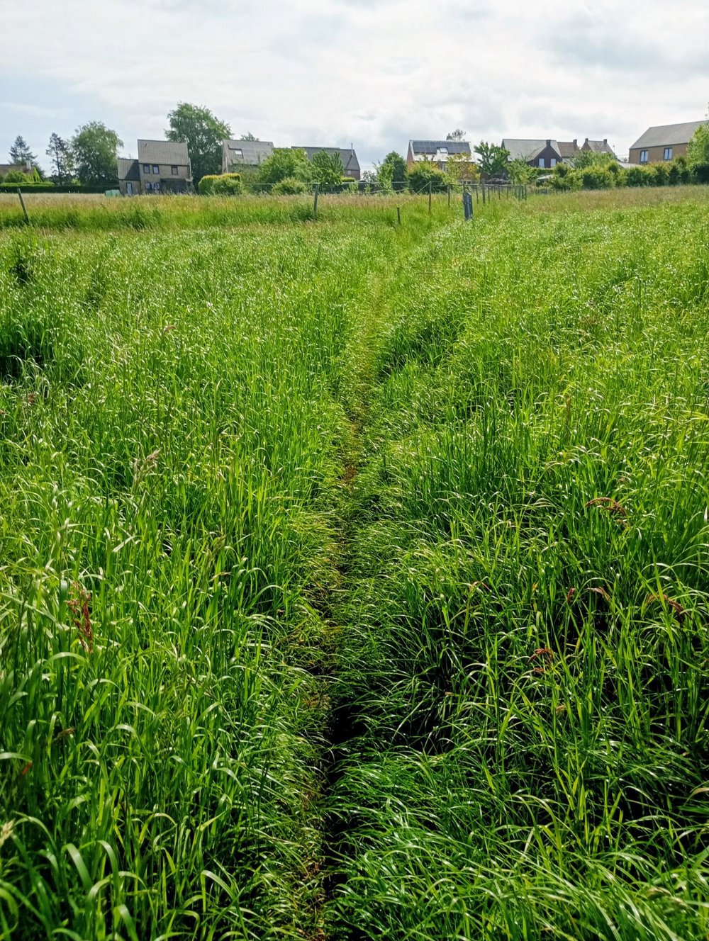
The last five kilometers are on very narrow field paths. They are passable, but long pants are definitely recommended, as they seem to be poorly maintained.
Walking sticks can be helpful during rainy and slippery periods of the year. There is no catering on the way.
automatic translation



 Upgrade to Premium Plus


