Loading...

A.S.Adventure: A rolling hike through the Pajottenland

automatic translation

11.5 km • Gooik

Icon official route official route

80 0 0/5

11.5 km 0.0 km 0.0 km

route offered by

Badge of official route

more info

Icon starting point Addresse starting point (approximate)

Dorpsstraat 31 1755 Gooik

Icon type signage of route signage

The route is fully signposted with nodes.

5m 5m 5m 5m
Atmosphere image 1 of route A.S.Adventure: A rolling hike through the Pajottenland Atmosphere image 2 of route A.S.Adventure: A rolling hike through the Pajottenland Atmosphere image 3 of route A.S.Adventure: A rolling hike through the Pajottenland
© NodeMapp

Icon description route Description

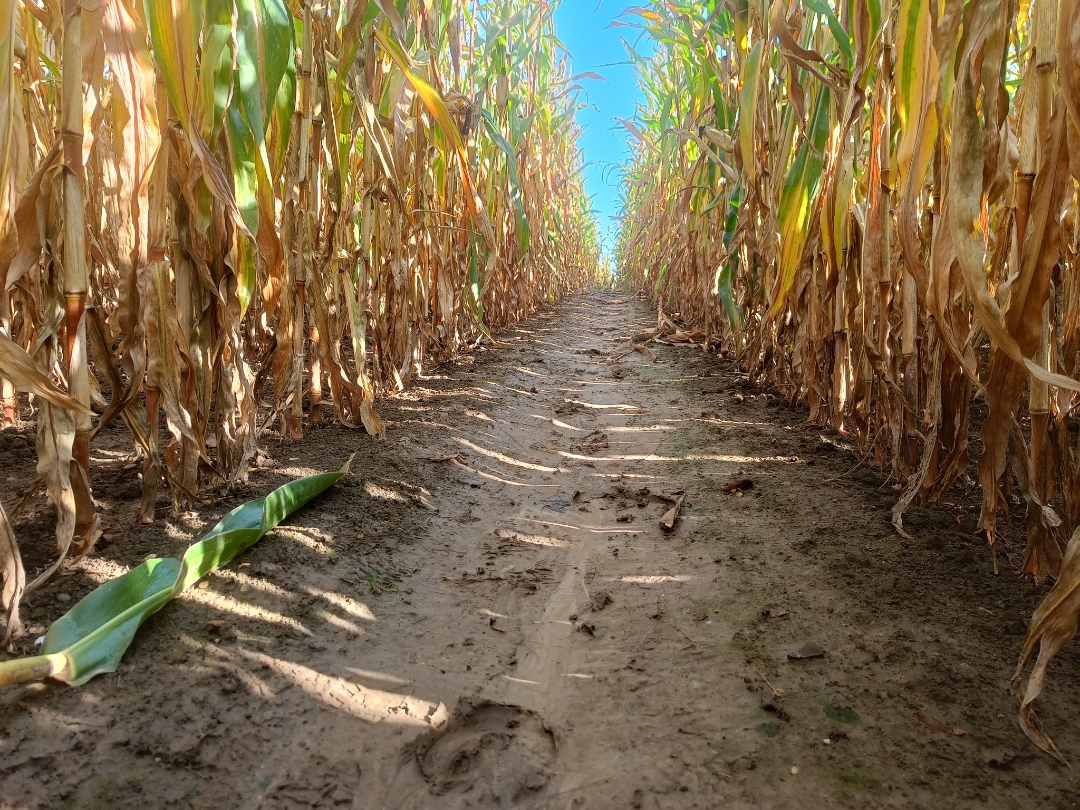
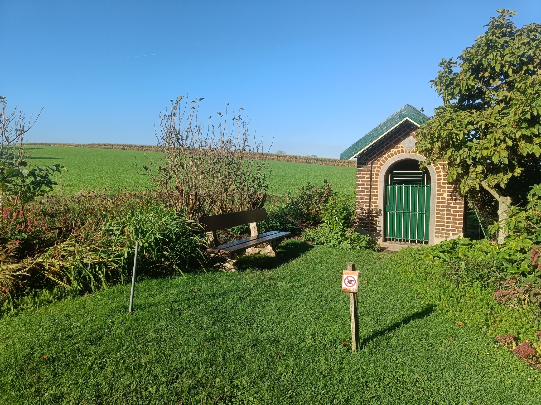
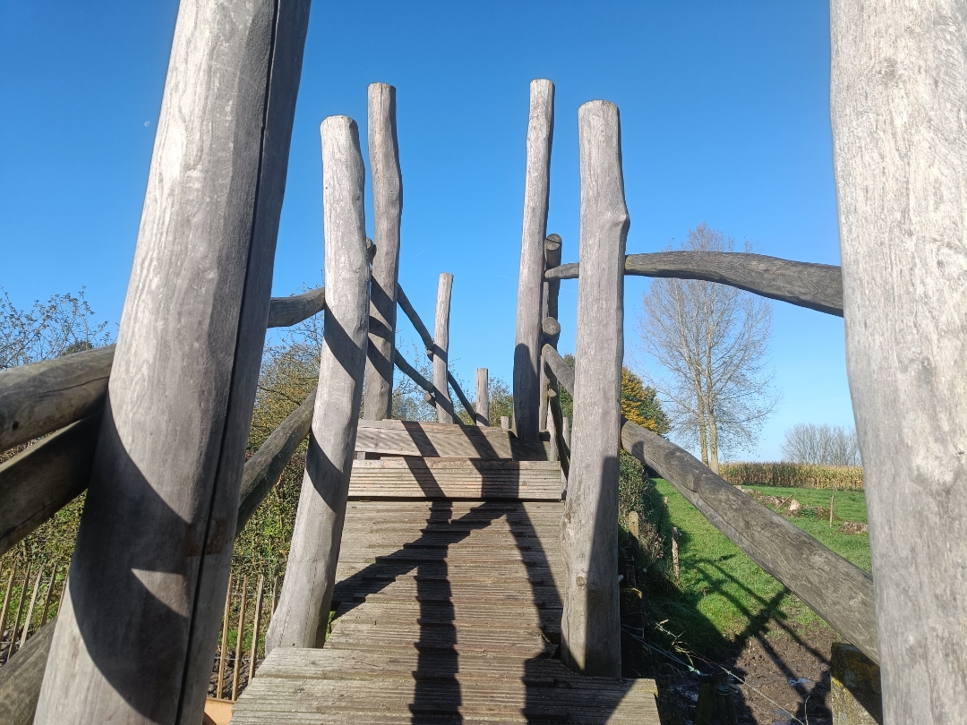
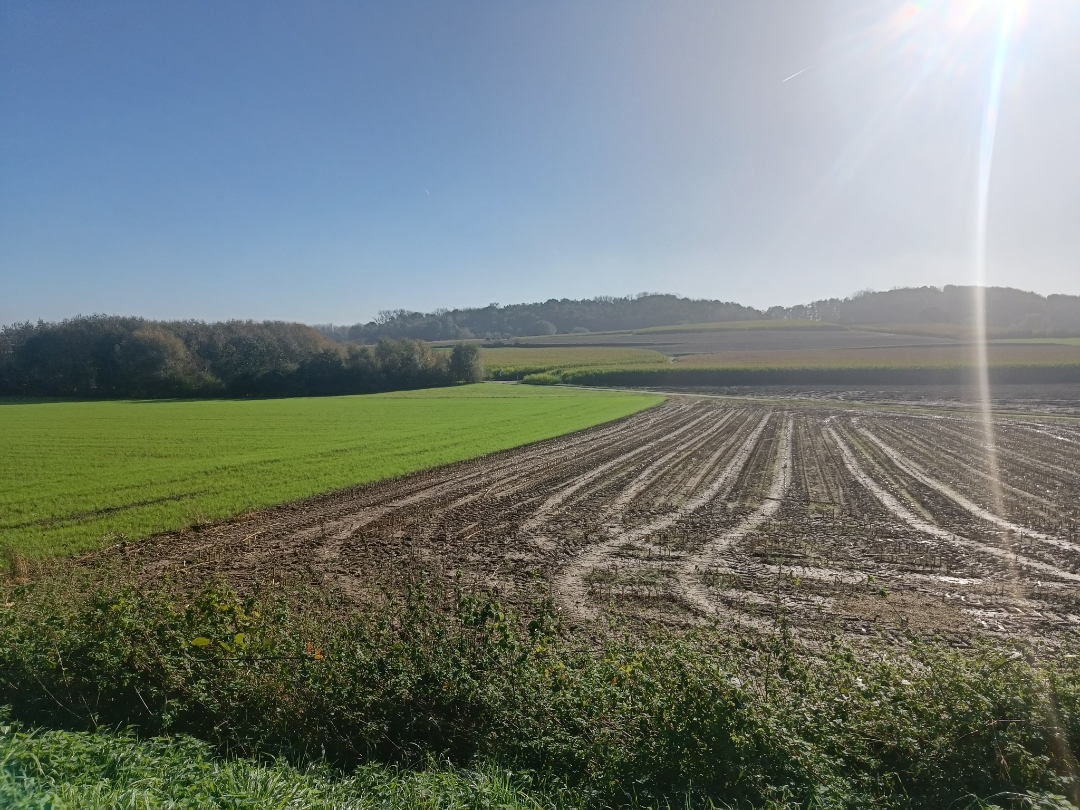
You’ll start in the center of Gooik, near St. Nicholas Church. You’ll soon leave the village center behind and walk along unpaved paths and low-traffic roads toward Strijland. Along the way, you’ll experience exactly what the Pajottenland is known for: rolling fields, pollarded willows, little chapels, and, here and there, a wonderful view into the distance. Between junctions 200 and 213, you’ll find the Paddenbroek rural center. Here, you can take a break and enjoy a snack and a drink.
Enjoy your walk!

automatic translation

Icon nodes to follow nodes to follow

Image node 27
0 km
Image node 28
0.5 km
Image node 29
1.7 km
Image node 201
2.7 km
Image node 204
3 km
Image node 226
3.4 km
Image node 227
4.1 km
Image node 230
5.1 km
Image node 230
5.2 km
Image node 233
5.5 km
Image node 224
7.4 km
Image node 222
8.3 km
Image node 218
8.5 km
Image node 218
8.5 km
Image node 200
9 km
Image node 213
9.5 km
Image node 220
9.7 km
Image node 221
9.8 km
Image node 223
10.4 km
Image node 206
10.9 km
Image node 27
11.4 km
This route does not have any reviews yet. Be the first!
Rate route!

Which POI do you want to show on the map?

Experimental hiking network
Unsigned icon

The route you have chosen runs (partly) along an experimental virtual hiking node network (the blue-coloured nodes and sections on the map).

You must be logged in to plan routes here.

Experimental hiking network
Unsigned icon

The route you have chosen runs (partly) along an experimental virtual hiking node network (the blue-coloured nodes and sections on the map).

These routes are not controlled in the field. Before you start hiking here, take a minute to read what an experimental hiking node network is and what rules you should follow when hiking here.