 Hiking
 Login
Login
 More
More
 EN
EN
 Premium
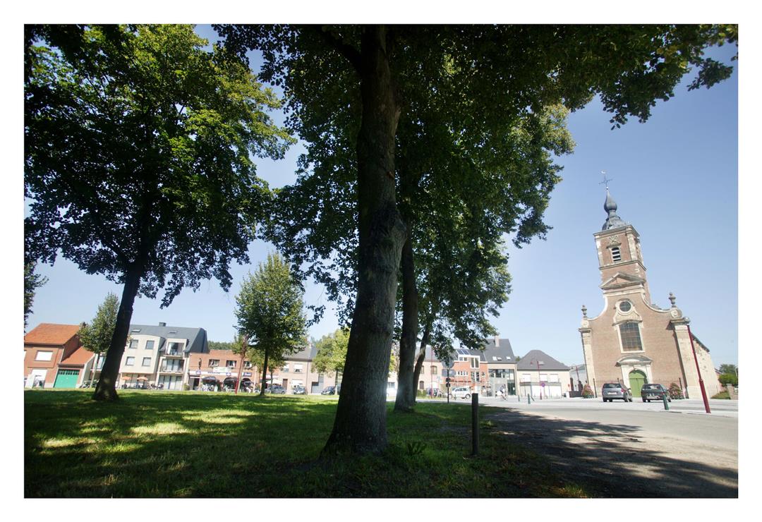
Lippelobos hiking trail
automatic translation
8.9 km • Buggenhout
 official route
5.86812 10 2.8/5
 Addresse starting point (approximate)
Dries 65, 9255 Opdorp
 signage
The route is fully signposted with nodes.
 Description
The Dries van Opdorp is the largest and one of the most beautiful in our country. From Dries van opdorp you step into the Lippelobos, grown around the castle 'Hof te Melis'. The geographical center of Flanders can be found near KP 92.
TheLippelobos walking routeis offered to you byRouten, an initiative of Tourism East Flanders.
automatic translation
 nodes to follow
0 km
1.1 km
1.5 km
1.7 km
2.4 km
3.6 km
4.4 km
5.1 km
5.6 km
5.6 km
6.7 km
6.9 km
7.5 km
8 km
8.4 km
8.9 km
Monday, September 1, 2025 by Luc JanssensIndeed some nice piece(s) in the woods. Yet also a lot just along the track. Nearby are better options with the junctions.
automatic translation
Thursday, June 19, 2025 by M.K.Route is longer than described, our pedometer counted 13 km... it was a hot day and the few rest benches we came across were, except for &, all in full sun. Especially the stretch through the forest was super pleasant. Too bad the forest makes up only 1/3 of the route.
automatic translation
Friday, January 3, 2025 by Herman Van den ReeckPretty quiet route, except for the stretch along the Lippelo-Londerzeel track. Still a lot of mud in the Lippelobos forest. At kn.69 you have to follow kn.70 and not kn.71 as GPS says. Nice walking along the footpaths. Many resting benches.
automatic translation
Thursday, March 24, 2022 by Yvette ThysSnertroute, concrete,concrete and more concrete. Has nothing to do with forest. Not worth repeating. Only our dogs' nails were worn off. Pf...
automatic translation
Sunday, January 16, 2022 by Hilde VdVFun and varied hike with only about 10 meters of mud. The view of the castle and ice cellar are an added bonus. There are numerous streams, ponds and rhododendrons in the forest. Must be beautiful when these bloom. Locally some buzzing from high voltage wires, but not a nuisance.
automatic translation
Tuesday, April 13, 2021 by Karin van de VenSaturday had rained all day, Sunday no option to walk in the woods but this route is a nice alternative. Good hiking. Nice to see center of Flanders and castle. At end is a forest created this year in sign of corona; The turning point forest. Will be in a few years a place to pause the time we now live in
automatic translation
Tuesday, November 3, 2020 by K.V.Too bad this is described as a hike through lippelo forest. There is hardly any forest to be seen on this hike and we were bothered a lot by traffic. Not worth repeating. Too bad.
automatic translation
Monday, June 1, 2020 by F.B.Hike starts nicely through field roads and forest. But the busy lane after passing the castle of Lippelo was a big minus. (No footpath.) Once out of the forest it's more little concrete lanes than nice green field lanes.
automatic translation
Friday, January 3, 2025 by H.V.Indeed after the castle of Lippelo a busy track, but what do you want, the castle is private property, so you can't walk through this domain. Still, the little forest path after the domain makes up for a lot.
automatic translation
Sunday, May 31, 2020 by Liesbet De WolfVery beautiful.
Alternation field / forest
Well maintained roads, no bother cars or cyclists
automatic translation
Sunday, May 10, 2020 by P.D.Variety : fields, forest, neighborhoods. Beautiful!
automatic translation


 Upgrade to Premium Plus
