 Hiking
 Login
Login
 More
More
 EN
EN
 Premium
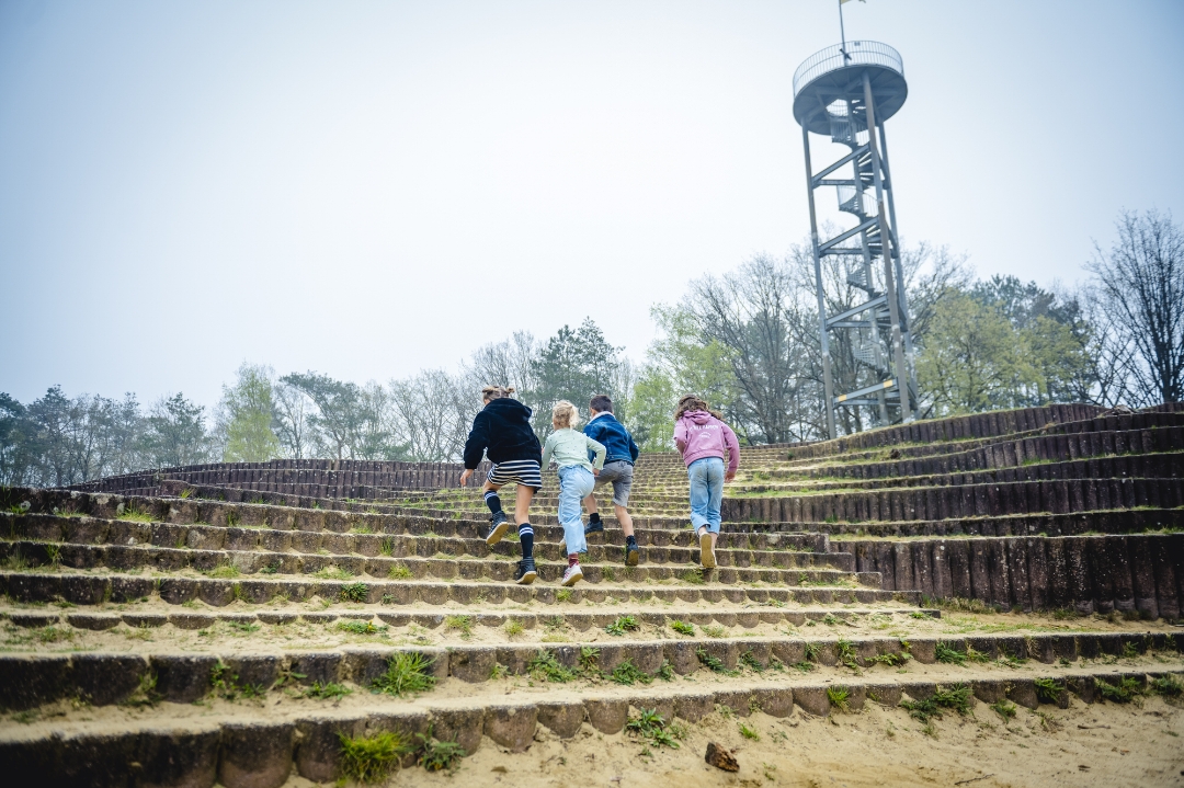
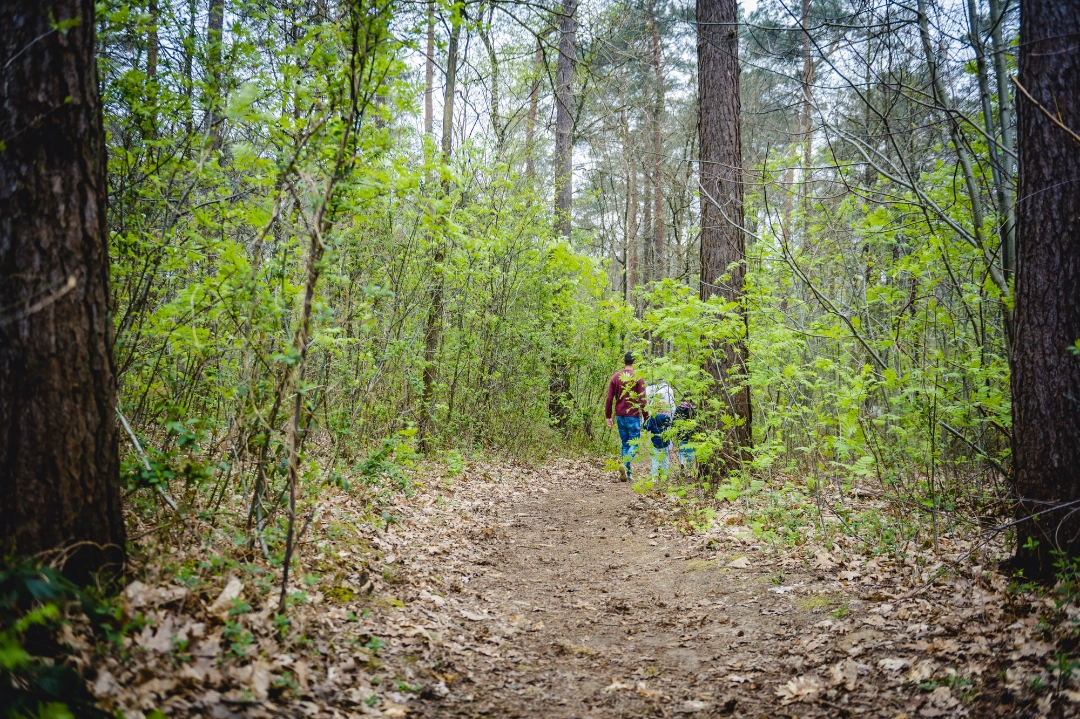
Gerhagen: stepping into silence
automatic translation
11.7 km • Tessenderlo-Ham
 official route
1.5442 0 0/5
 Addresse starting point (approximate)
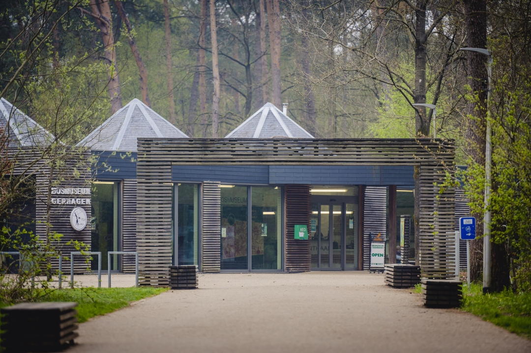
Bosmuseum, Zavelberg 10, Tessenderlo-Ham
 signage
The route is fully signposted with nodes.
 Description
Right in the middle of the woods of Tessenderlo-Ham lies Reception Gate Gerhagen, which welcomes you from Limburg into Landscape Park de Merode. Gerhagen is also the first silence area with quality label in Flanders. Here your ears get a break from the noise of everyday life and you experience the power of silence. When the noise subsides, the healing sounds of nature wash over you.
This is one of the nine walks from the book 'Ode aan de Merode 9X'. Get carried away by music, images and compelling stories about Landscape Park de Merode.
More info at bezoekdemerode.be.
automatic translation
 nodes to follow
0 km
0.3 km
0.6 km
0.8 km
1.6 km
2.2 km
2.4 km
4.3 km
4.9 km
5 km
6.5 km
7.2 km
7.4 km
7.9 km
8.8 km
9.5 km
10.1 km
10.3 km
11.3 km
11.4 km
11.7 km


 Upgrade to Premium Plus
