 Hiking
 Login
Login
 More
More
 EN
EN
 Premium
Borgloon - Heks - Vechmaal - Grootloon
automatic translation
16.5 km • Tongeren-Borgloon
1.1700 0 0/5

 Addresse starting point (approximate)
Oude Berg 7, 3840 Borgloon, BE
 signage
The route is partially signposted with thematic signs (no nodes). Use a GPS device or our app to follow the route.
 Description
Parking along the Sint-Truidersteenweg.
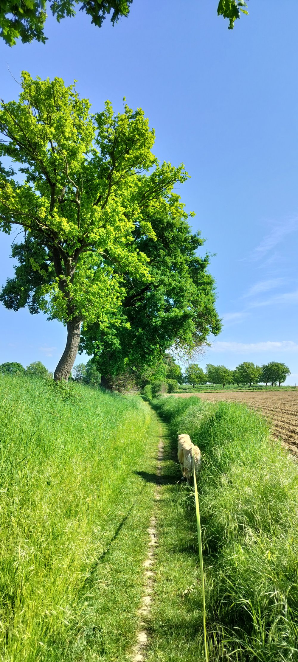
The walk can be extended afterwards with the loop through the center of Borgloon to indulge in some culinary delights. First, we follow the yellow loop (rectangle) up to the cobblestones of the Manshovenstraat, where we take the red loop (triangle) to Heks/Vechmaal.
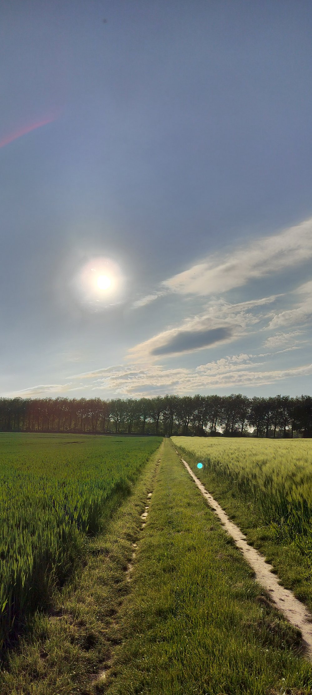
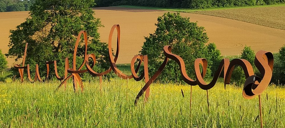
There are two small deviations from the red loop in Heks and at the Sint-Pieterskapel of Heurne. You pass the Tranendreef, and before you return to the Manshovenstraat, we reconnect with the yellow loop, heading towards Grootloon. Before arriving in Grootloon, we take a small 'detour' via the artwork Twijfelgrens (turn left at junction 30 and follow the blue and orange loop up to the Roman Road, and there (junction 29) turn right (here, there is no colored loop).
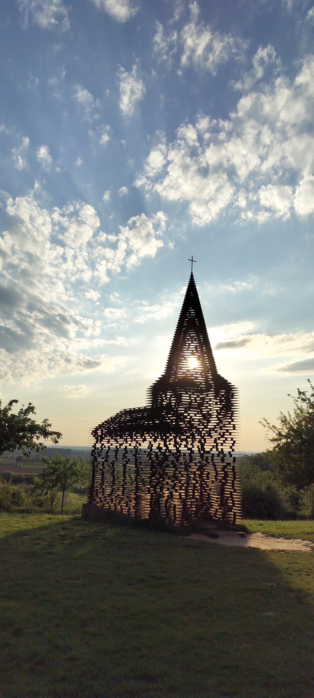
From here (junction 41), you can follow the yellow loop again. When you have passed the see-through church, you can - once back on the Sint-Truidersteenweg - cross directly to return to the parking.
automatic translation
 nodes to follow
0 km
0.1 km
0.1 km
1.3 km
1.8 km
4.4 km

5.8 km
6.5 km
8.1 km
8.6 km
8.8 km
12 km
13.1 km
14.3 km
15.2 km
15.5 km
16.3 km

16.5 km


 Upgrade to Premium Plus
