Loading...

A.S.Adventure: Challenging Hikes Through the Flemish Ardennes

automatic translation

23.8 km • Zwalm

Icon official route official route

40 0 0/5

23.8 km 0.0 km 0.0 km

route offered by

Badge of official route

more info

Icon starting point Addresse starting point (approximate)

Gaverbosdreef 1 9630 Zwalm

Icon type signage of route signage

The route is fully signposted with nodes.

5m 5m 5m 5m
Atmosphere image 1 of route A.S.Adventure: Challenging Hikes Through the Flemish Ardennes Atmosphere image 2 of route A.S.Adventure: Challenging Hikes Through the Flemish Ardennes
© NodeMapp-Sven Nijs

Icon description route Description

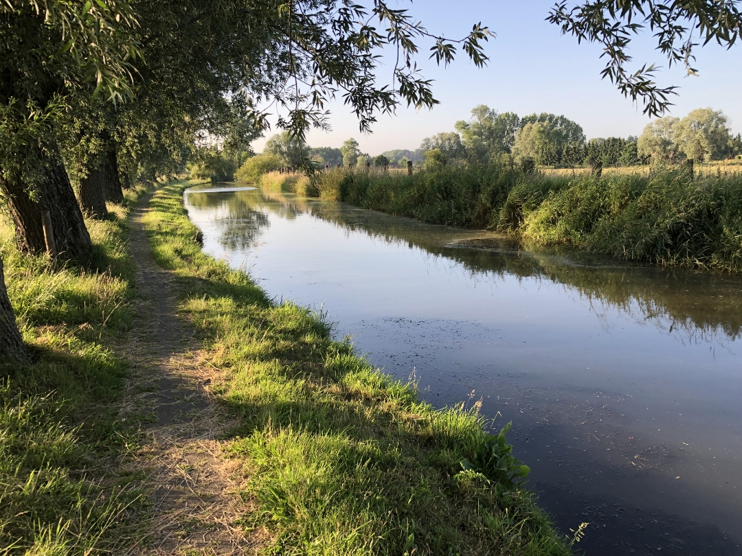
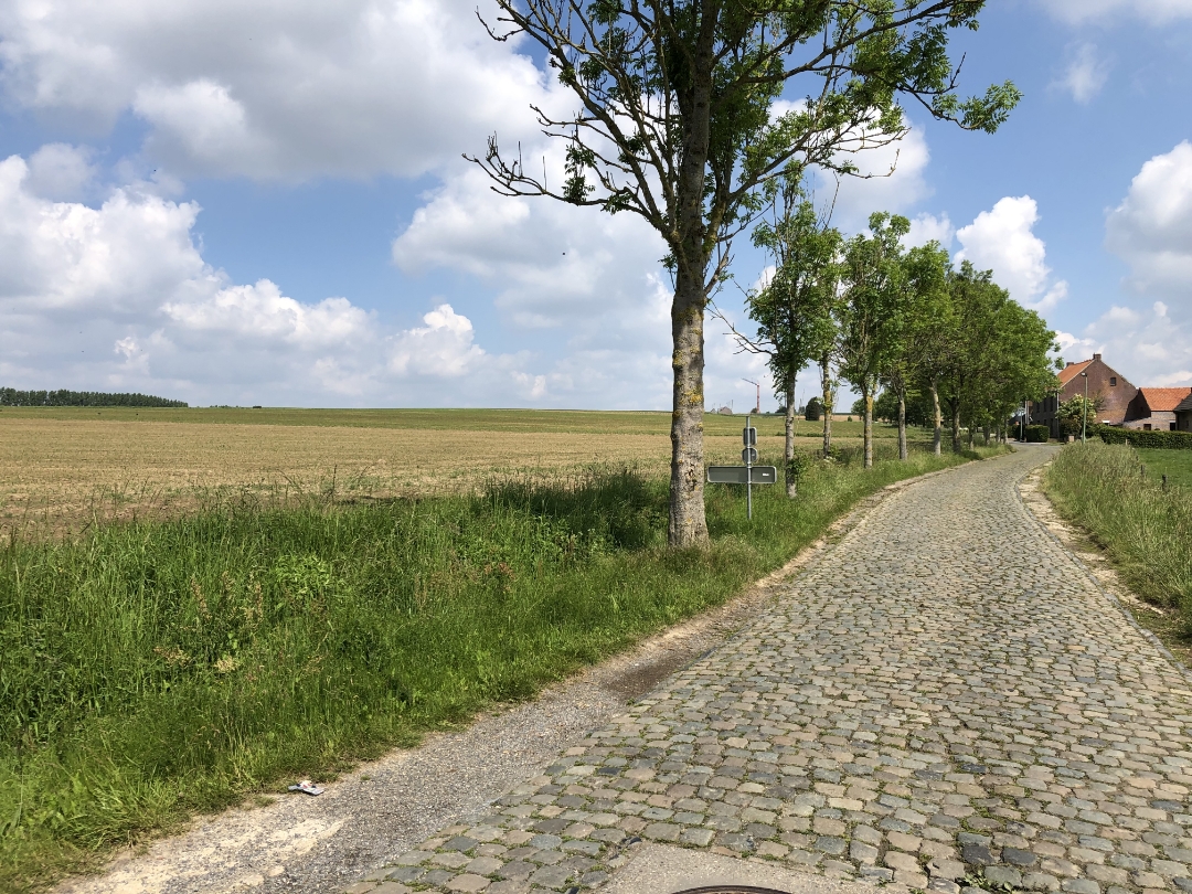
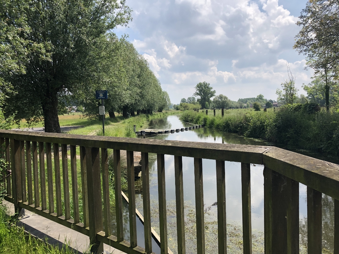
This day hike through the Flemish Ardennes will really put your calves to the test. You’ll start in Munkzwalm, on the banks of the Zwalm River, and hike through a landscape where watermills, rolling fields, and quiet villages alternate. Along the way, you’ll pass the Zwalmmolen, the IJzerkotmolen, and the Ter Biestmolen, among others. And in between? Enjoy the peace and quiet and the sweeping views that are so typical of our Flemish Ardennes.
Have a great hike!

automatic translation

Icon nodes to follow nodes to follow

Image node 68
0 km
Image node 5
1.3 km
Image node 6
1.5 km
Image node 7
2 km
Image node 10
3.2 km
Image node 10
3.3 km
Image node 64
4.4 km
Image node 65
4.6 km
Image node 61
6.9 km
Image node 60
7.9 km
Image node 67
9.6 km
Image node 66
10.8 km
Image node 77
11.5 km
Image node 86
11.9 km
Image node 88
12.2 km
Image node 73
12.6 km
Image node 69
13.5 km
Image node 68
14.1 km
Image node 79
14.8 km
Image node 84
15.3 km
Image node 83
15.8 km
Image node 82
16.4 km
Image node 81
16.6 km
Image node 88
17.8 km
Image node 89
18.5 km
Image node 91
18.7 km
Image node 90
18.8 km
Image node 85
20.4 km
Image node 85
20.4 km
Image node 80
20.9 km
Image node 93
21.5 km
Image node 95
22.2 km
Image node 94
22.4 km
Image node 1
23.1 km
Image node 68
23.7 km
This route does not have any reviews yet. Be the first!
Rate route!

Which POI do you want to show on the map?

Experimental hiking network
Unsigned icon

The route you have chosen runs (partly) along an experimental virtual hiking node network (the blue-coloured nodes and sections on the map).

You must be logged in to plan routes here.

Experimental hiking network
Unsigned icon

The route you have chosen runs (partly) along an experimental virtual hiking node network (the blue-coloured nodes and sections on the map).

These routes are not controlled in the field. Before you start hiking here, take a minute to read what an experimental hiking node network is and what rules you should follow when hiking here.