 Hiking
 Login
Login
 More
More
 EN
EN
 Premium
A.S. Adventure: Through the Land of 1,001 Ponds in Genk
automatic translation
10.7 km • Genk
 official route
60 0 0/5
 Addresse starting point (approximate)
Bokrijklaan 1 3600 Genk
 signage
The route is fully signposted with nodes.
 Description
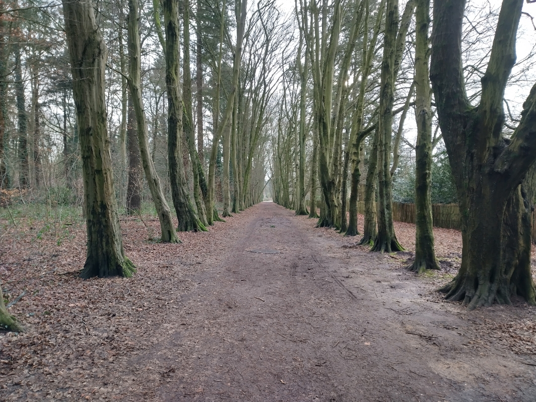
You’ll start at Bokrijk and soon head toward Bokrijk Castle. From there, you’ll walk to the Het Wik nature reserve and the adventure forest. The Bokrijk Arboretum is also on your route: 18 hectares filled with plants, trees, and shrubs. It’s definitely worth taking a moment to slow down.
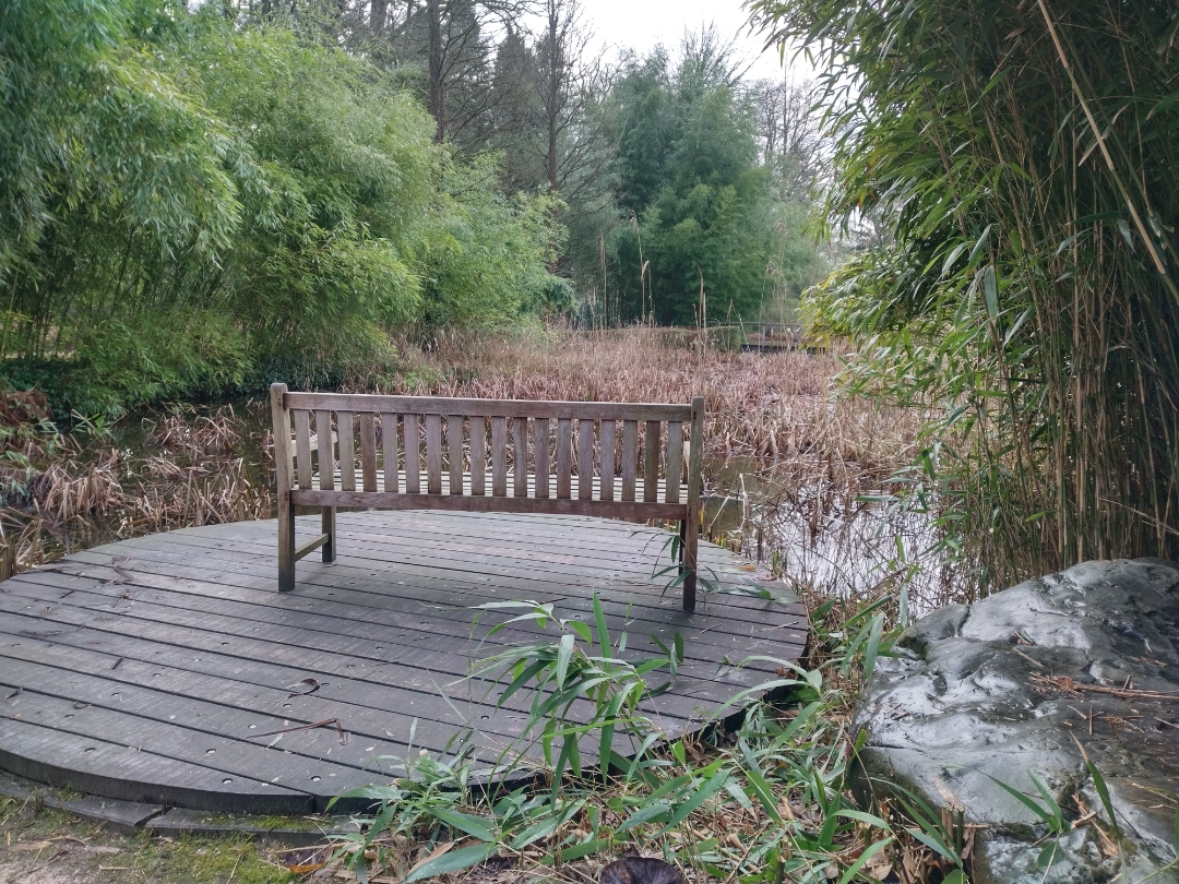
Next, head toward “Fietsen door het Water,” say hello to the Galloway cattle, and continue along the boardwalk to another castle: Kiewit Castle. There you’ll find a petting zoo and Koe-vert, a charming tavern where sustainability takes center stage.
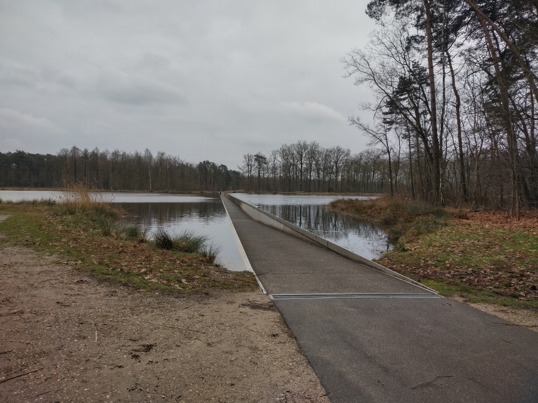
After that, a few of those 1,001 ponds will guide you back to Bokrijk. Enjoy your walk!
☝️Due to the presence of Galloway cattle, dogs are not allowed between junction 59 and junction 58. Are you walking with your dog? Then
where you would normally turn right into the meadow, go straight ahead and take the next right toward junction 57. From there, rejoin the trail toward junction 58.
automatic translation
 nodes to follow
0 km
0.7 km
0.7 km
1.6 km
2.3 km
2.6 km
3.8 km
4.2 km
4.2 km
5 km
5.8 km
6.5 km
6.9 km
7.2 km
7.2 km
7.4 km
7.6 km
7.8 km
7.9 km
8.1 km
8.6 km
9.5 km
10 km
10.6 km


 Upgrade to Premium Plus
