 Hiking
 Login
Login
 More
More
 EN
EN
 Premium
A.S.Adventure: Hiking along the Rupel, lakes, and marshland
automatic translation
12.3 km • Mechelen
 official route
60 0 0/5
12.3 km
0.0 km
0.0 km
 Addresse starting point (approximate)
Beenhouwerstraat 28 2830 Mechelen
 signage
The route is fully signposted with nodes.
© NodeMapp-Sven Nijs
 Description
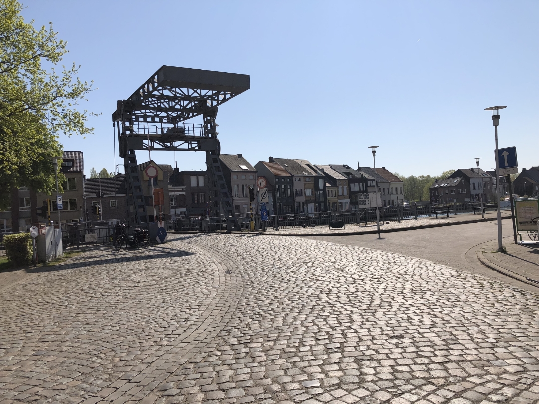
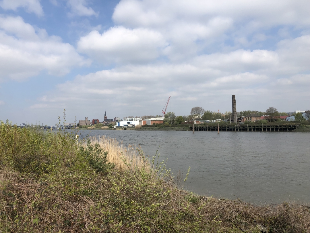
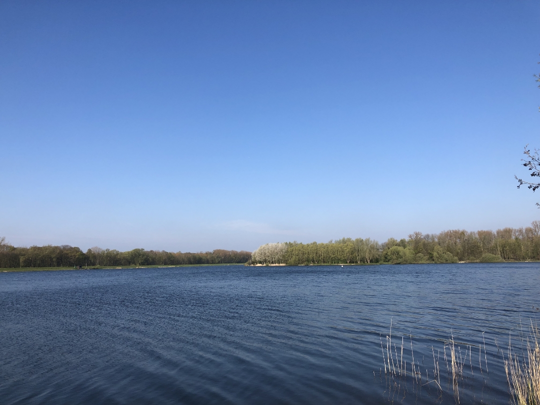
Water takes center stage on this walk through the Mechelen region. You’ll start at the Hazewinkel Water Sports Center, where both recreational and elite athletes head out onto the water. You’ll then walk through the Biezenweiden Nature Reserve toward the banks of the Rupel. A little further on, you’ll pass the charming marina at Klein-Willebroek, and to round off the walk, you’ll cross the beautiful Blaasveldbroek with its numerous water features. Water, water, and… even more water. Enjoy your walk!
automatic translation
 nodes to follow
0 km
0.1 km
0.6 km
1.8 km
2.4 km
2.7 km
3.9 km
4.3 km
5.3 km
6.5 km
6.7 km
8.8 km
10 km
10.2 km
11.4 km
12.1 km
12.2 km


 Upgrade to Premium Plus
