Loading...

A.S.Adventure: A Green Getaway on the Outskirts of Bruges

automatic translation

12.6 km • Assebroek

Icon official route official route

100 0 0/5

12.6 km 0.0 km 0.0 km

route offered by

Badge of official route

more info

Icon starting point Addresse starting point (approximate)

Gemeneweideweg-Zuid 113 8310 Assebroek

Icon type signage of route signage

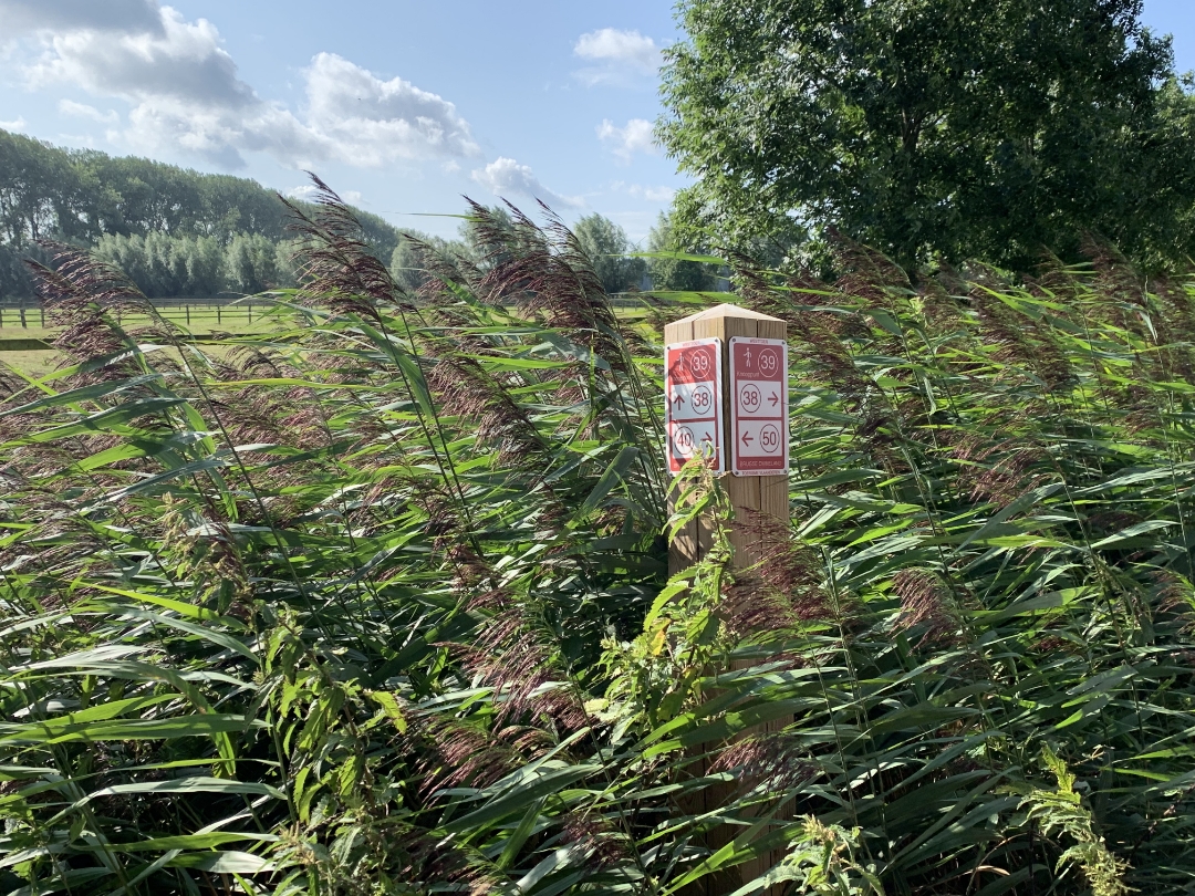
The route is fully signposted with nodes.

5m 5m 5m 5m
Atmosphere image 1 of route A.S.Adventure: A Green Getaway on the Outskirts of Bruges Atmosphere image 2 of route A.S.Adventure: A Green Getaway on the Outskirts of Bruges
© NodeMapp-Sven Nijs

Icon description route Description

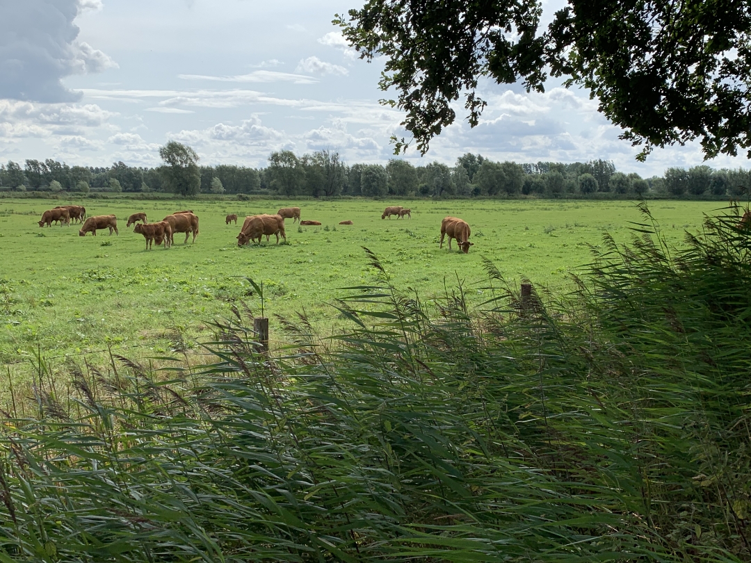
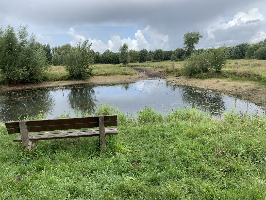
This walk through the green belt surrounding Bruges takes you past open meadows, wetlands, and peaceful forest trails. Among other places, you’ll pass the Assebroekse Meersen, a valuable wetland and meadow area where water, reeds, and meadow birds set the pace. Further on, you’ll head toward the Ryckeveldebos, with its wide avenues lined with beech and oak trees. The combination of open countryside and forest makes this route ideal for anyone looking to escape into nature while staying close to the city.
Enjoy your walk!

automatic translation

Icon nodes to follow nodes to follow

Image node 11
0 km
Image node 22
0.9 km
Image node 21
1.8 km
Image node 20
2.5 km
Image node 19
2.8 km
Image node 18
3.1 km
Image node 53
3.4 km
Image node 52
3.7 km
Image node 49
4.3 km
Image node 50
4.6 km
Image node 39
5.2 km
Image node 38
5.3 km
Image node 37
5.4 km
Image node 42
5.9 km
Image node 43
6.3 km
Image node 35
6.8 km
Image node 34
8.7 km
Image node 27
9.1 km
Image node 26
9.8 km
Image node 25
10.1 km
Image node 24
11.1 km
Image node 9
11.6 km
Image node 8
12 km
Image node 10
12.4 km
Image node 11
12.5 km
This route does not have any reviews yet. Be the first!
Rate route!

Which POI do you want to show on the map?

Experimental hiking network
Unsigned icon

The route you have chosen runs (partly) along an experimental virtual hiking node network (the blue-coloured nodes and sections on the map).

You must be logged in to plan routes here.

Experimental hiking network
Unsigned icon

The route you have chosen runs (partly) along an experimental virtual hiking node network (the blue-coloured nodes and sections on the map).

These routes are not controlled in the field. Before you start hiking here, take a minute to read what an experimental hiking node network is and what rules you should follow when hiking here.