Loading...

A.S.Adventure: heathland, ponds, and tranquility at De Liereman in Turnhout

automatic translation

10.1 km • Oud-Turnhout

Icon official route official route

60 0 0/5

10.1 km 0.0 km 0.0 km

route offered by

Badge of official route

more info

Icon starting point Addresse starting point (approximate)

Schuurhovenberg 43 2360 Oud-Turnhout

Icon type signage of route signage

The route is fully signposted with nodes.

5m 5m 5m 5m
Atmosphere image 1 of route A.S.Adventure: heathland, ponds, and tranquility at De Liereman in Turnhout Atmosphere image 2 of route A.S.Adventure: heathland, ponds, and tranquility at De Liereman in Turnhout Atmosphere image 3 of route A.S.Adventure: heathland, ponds, and tranquility at De Liereman in Turnhout
© NodeMapp

Icon description route Description

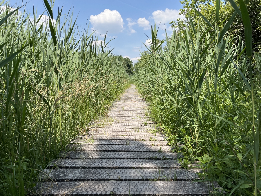
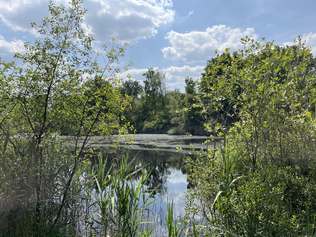
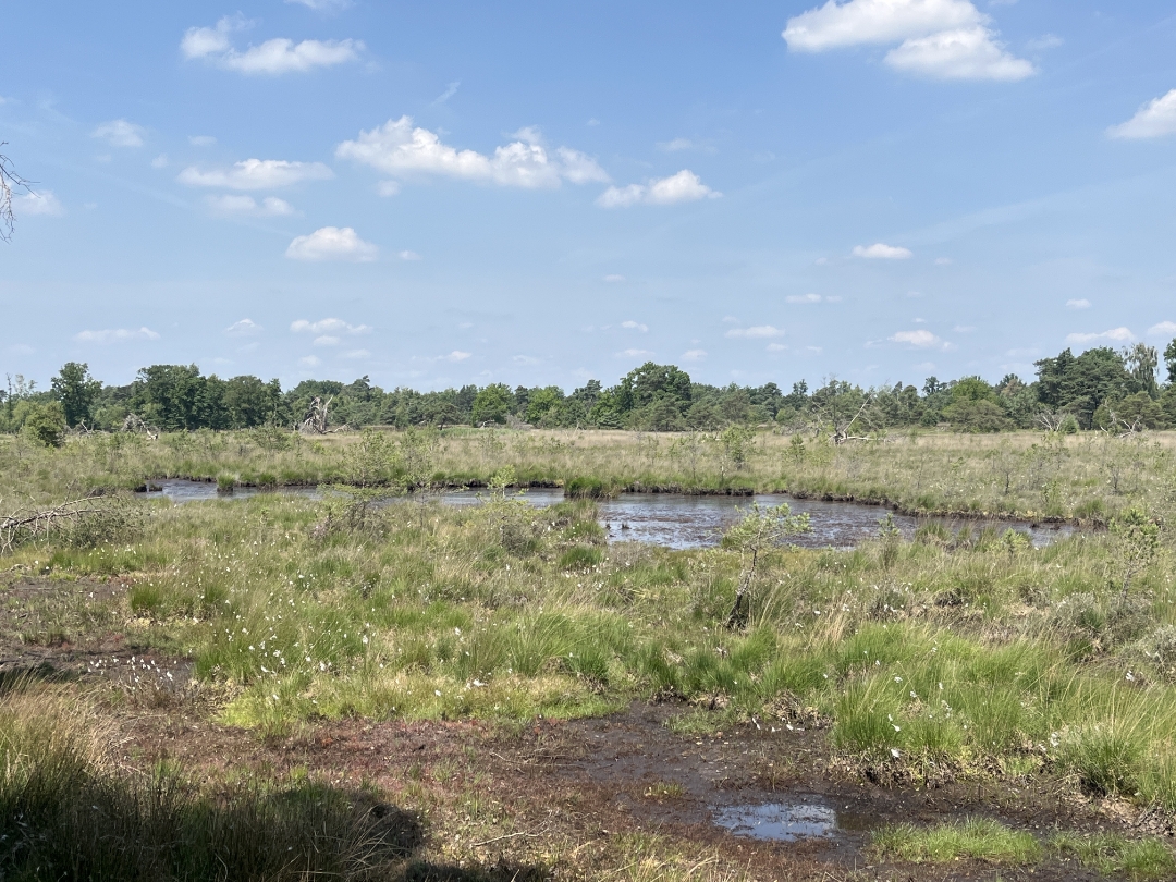
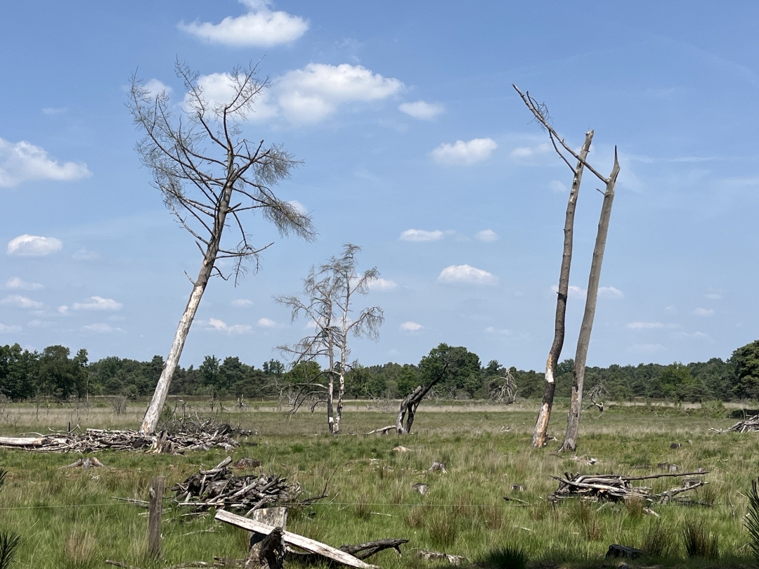
This route takes you through Landschap De Liereman, one of Belgium’s oldest nature reserves. Starting at the visitor center, you’ll walk through open heathland, tranquil ponds, grasslands, and sheltered wooded areas. Sometimes wide and open, sometimes delightfully sheltered: this is the Kempen’s natural beauty in all its tranquility.
Enjoy your walk!

☝️To protect the local wildlife, part of the route is off-limits to dogs.

automatic translation

Icon nodes to follow nodes to follow

Image node 35
0 km
Image node 35
0 km
Image node 34
0.3 km
Image node 34
0.4 km
Image node 69
1.4 km
Image node 70
2 km
Image node 71
2.8 km
Image node 19
3.1 km
Image node 38
4.5 km
Image node 39
5.1 km
Image node 40
6.3 km
Image node 31
7.5 km
Image node 41
7.7 km
Image node 54
8.1 km
Image node 53
8.9 km
Image node 55
9.4 km
Image node 37
9.9 km
Image node 36
10 km
Image node 35
10.1 km
This route does not have any reviews yet. Be the first!
Rate route!

Which POI do you want to show on the map?

Experimental hiking network
Unsigned icon

The route you have chosen runs (partly) along an experimental virtual hiking node network (the blue-coloured nodes and sections on the map).

You must be logged in to plan routes here.

Experimental hiking network
Unsigned icon

The route you have chosen runs (partly) along an experimental virtual hiking node network (the blue-coloured nodes and sections on the map).

These routes are not controlled in the field. Before you start hiking here, take a minute to read what an experimental hiking node network is and what rules you should follow when hiking here.