 Hiking
 Login
Login
 More
More
 EN
EN
 Premium
A stroll through the Assenois countryside
automatic translation
10 km • Assenois
 official route
1.3130 0 0/5
 Addresse starting point (approximate)
67 Rue de la Gaume , 6860 Léglise
 signage
The route is fully signposted with nodes.
 Description
An invitation to decipher the remarkable viewpoints around the village of Assenois. An orientation table gives you an overview of the region's landscape.
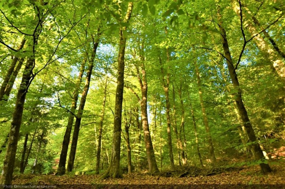
Starting out from the center of Assenois, come and discover remarkable views of the villages of Cousteumont, Bernimont, Habaru and Assenois. Enjoy the rejuvenating countryside, as you pass through some of the villages of our beautiful commune. And who knows, you might even catch a glimpse of our region's wildlife.
This trail will also introduce you to the spelt production chain set up by a group of farmers from the Haute Sûre Forêt d'Anlier Nature Park.
Whether you're on your own, with family or friends, on foot or by bike, our green countryside awaits you in Assenois.
automatic translation


 Upgrade to Premium Plus
