 Hiking
 Login
Login
 More
More
 EN
EN
 Premium
Lavoirs Walk
automatic translation
13 km • Les Fossés
 official route
7700 0 0/5
 Addresse starting point (approximate)
30 Rue des Combattants , 6860 Léglise
 signage
The route is fully signposted with nodes.
 Description
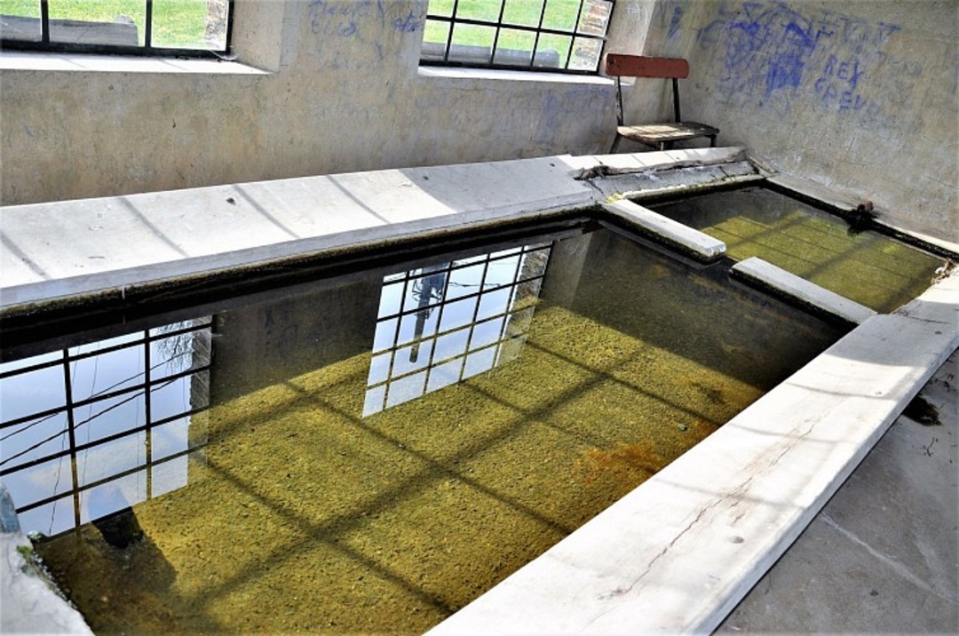
This tour takes in the watering holes and villages of Les Fossés, Chevaudos, Bernimont and Habaru.
This walk will appeal to walkers and strollers alike, who can easily close their eyes and immerse themselves in the warm atmosphere of these places of yesteryear. Imagine the refreshing sound of running water, punctuated by the laughter and gossip of the washerwomen beating out the washing.
From the beautifully renovated village square in Les Fossés, a short path through the woods leads to the first washhouse in Chevaudos (on the right, along the road).
Cross over to follow the small country road.
This road also offers a photogenic backdrop to the village of Assenois, before leading you to the village of Bernimont, proud of its recently restored washhouse. Before 1859, it was used as a seasonal school. Classes were only held in winter, as the children worked with their parents during the summer.
After the tunnel, you follow the railroad line, passing under it again to reach Habaru. The pretty wash-house and picnic table await you for a well-earned break.
Leaving Habaru, take the "chemin des malades". In the Middle Ages, the "Champ de malades", a leper colony, was located along this path. Here, lepers from Assenois and the surrounding area were sequestered.
The old hedge-lined path, then the path along the fir grove, will lead you to the "Champ de Sick".
automatic translation


 Upgrade to Premium Plus
