 Hiking
 Login
Login
 More
More
 EN
EN
 Premium
A walk in the Pays des Sources
automatic translation
12 km • Louftémont
 official route
4880 0 0/5
 Addresse starting point (approximate)
11 Rue Albert 1er , 6860 Léglise
 signage
The route is fully signposted with nodes.
 Description
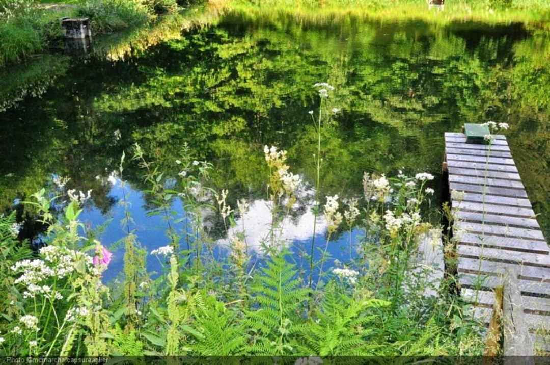
Discover the Rimanvaux and Nadrifontaine wetlands in the Anlier forest, home to a rich biodiversity.
Silence is the guiding theme of this hike, barely disturbed by the songs of the birds you meet. Buzzards, crows and herons are a regular sight on this varied, gently undulating route, which alternates between stony paths and crossings of pastures and fir forests.
Almost always on the edge of the forest, this walk in the heart of a wetland will recharge your batteries and let you discover the surroundings of a small Ardennes village.
If you pay close attention, you may even catch a glimpse of one of its most discreet inhabitants, the beaver.
Take a stroll in the woods ... but don't forget you're in LOUFTÉMONT, whose etymology literally means wolf mountain.
automatic translation


 Upgrade to Premium Plus
