 Hiking
 Login
Login
 More
More
 EN
EN
 Premium
Jalifè and Pré Sauvage trails
automatic translation
11 km • Chêne
 official route
2930 0 0/5
 Addresse starting point (approximate)
81 Rue Bi du Moulin , 6860 Léglise
 signage
The route is fully signposted with nodes.
 Description
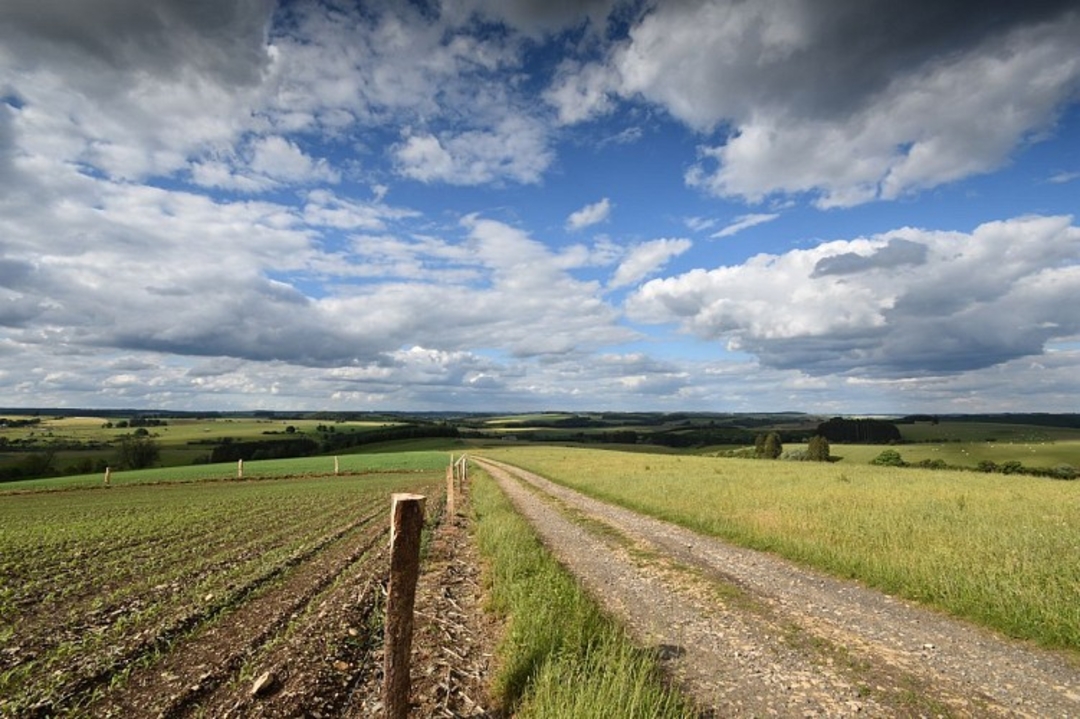
Starting from Ferme de la Géronne, you'll follow ridge paths offering superb views of the region.
This route illustrates three frontiers: the first hydrographic, the second religious, and the third ecosystemic.
Starting from Chêne, you find yourself in the Rhine watershed. The waters of the Géronne, the river that flows through the village, join the Sûre at Volaiville, 3km downstream. The Moselle and Rhine rivers then lead to the Zeeland delta in the Netherlands. Twice, you'll cross the Neufchâteau-Martelange trunk road, crossing the border with the Meuse basin. The waters of the Petit Ru, which you will cross in the forest, will also reach the North Sea in Zeeland, but via the Mandebras, Rulles and Meuse rivers.
The name Géronne comes from the Gallic "equoranda", meaning "sacred boundary". It was the de facto boundary between the dioceses of Liège and Trier.
Finally, at the beginning and end of the route, you'll cross the Plateau Herbager d'Ardenne Centrale, a large ecosystem shaped by human activity, mainly agricultural in this eco-region, while the middle of the route takes you into the first stands of the large Anlier forest massif. This very different ecosystem is managed by foresters.
automatic translation


 Upgrade to Premium Plus
