 Hiking
 Login
Login
 More
More
 EN
EN
 Premium
Bentille Creek hiking trail
automatic translation
9.5 km • Sint-Laureins
 official route
3.2531 2 3/5
 Addresse starting point (approximate)
Sint-Jansstraat 132, 9982 Sint-Laureins
 signage
The route is fully signposted with nodes.
 Description
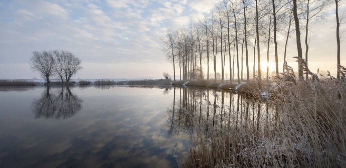
Fancy getting away from it all for a while? This walk sends you towards the Meetjesland creeks, where peace and quiet prevail.
TheBentille Creek hiking trailis offered to you byRouten, an initiative of Tourism East Flanders.
automatic translation
 nodes to follow
0 km
1.4 km
1.4 km
7.1 km
8.2 km
9.5 km
Thursday, September 10, 2020 by Rudy Van driesscheCompletely agree with the description "nature hike". But...some hiking trails of this route are not worthy of the name "hiking trail".
automatic translation
Sunday, August 23, 2020 by Tom Van wichelenThe mindful part completely eluded me ... I was expecting posts with QR codes along the road or something, but no. I haven't figured out what the concept is yet. Help :-) The walk itself; beginning and end nice, in between rather monotonous.
automatic translation


 Upgrade to Premium Plus
