 Hiking
 Login
Login
 More
More
 EN
EN
 Premium
Deer trails
automatic translation
14 km • Behême
 official route
1120 0 0/5
 Addresse starting point (approximate)
27 Rue de la Chapelle , 6860 Léglise
 signage
The route is fully signposted with nodes.
 Description
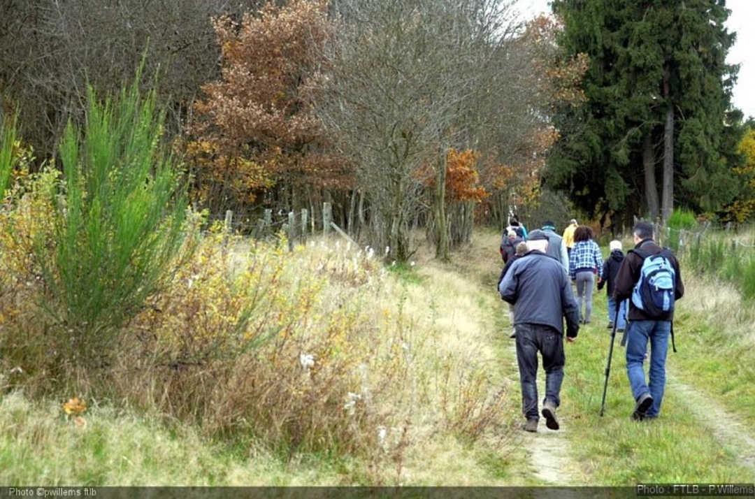
Perhaps you'll come across the king of our forests along a forest path?
The "sentier des cerfs" (deer trail) is just under 15 km long and reveals the full character of the Southern Ardennes. The old lime-walled farmhouse, crushed under the weight of its shale roof, sums up the harshness of rural life. From the damp, cold spruce forest exhaling the scent of humus and mushrooms to the more welcoming beech forests, you'll come across a goose with its young, a roe deer grazing on the grass, a fox in search of its meal or the noble stag, stealthy in the undergrowth. Here, a longshoreman with his faithful Ardennais, there, a farmer watching over his herd. Further on, a hunter on the prowl. At the entrance to a village, crosses recall the religious fervor and beliefs of a rugged region. But the Ardennes is also a carpet of daffodils in spring, heaths blooming with golden broom stunned by the heat of a summer sun, and willowherbs dancing in the caress of the wind - it's an explosion of color in every season. So let yourself be carried away by its wild smells, landscapes, forests, paths, streams and trails. Perhaps you'll come across one of the last witches still haunting our forests.
automatic translation


 Upgrade to Premium Plus
