 Hiking
 Login
Login
 More
More
 EN
EN
 Premium
Trou du Bois walk
automatic translation
7.1 km • Thibessart
 official route
730 0 0/5
 Addresse starting point (approximate)
Rue de la Mande-Brat , 6860 Léglise
 signage
The route is fully signposted with nodes.
 Description
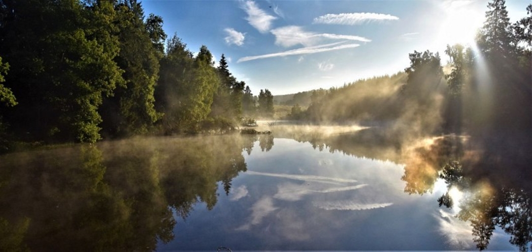
The "Trou du Bois" walk is a wonderful way to discover a little piece of history. The Thibessart pond, downstream from the village, was once built as a water intake to supply steam locomotives at the Marbehan station.
It has gradually become a haven for nature. If you're lucky, you may come across some impressive birds (great white egret, grey heron, etc.).
The path then takes you through woods and fields before reaching the village. May this moment of relaxation fill you with wonder, as each season brings its own new beauties. We wish you a pleasant journey.
automatic translation


 Upgrade to Premium Plus
