 Hiking
 Login
Login
 More
More
 EN
EN
 Premium
Stroll of the Crosses
automatic translation
11 km • Léglise
 official route
330 0 0/5
 Addresse starting point (approximate)
46 Rue de Luxembourg , 6860 Léglise
 signage
The route is fully signposted with nodes.
 Description
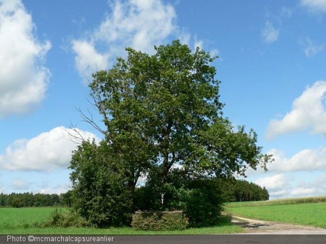
Highlighting the small religious heritage of the villages of Thibessart and Rancimont.
The crosses were once used for rogations, penitential rites intended to draw God's blessing on the fruits of the earth and on animals. This procession took place on each of the three days preceding Ascension Day.
Chapelle St Donat in Rancimont, a charming chapel with an openwork campanile, was erected in 1942.
The Grotte Notre Dame de Lourdes in Thibessart was built in 1909 thanks to the generosity of parishioners. Abbé Hubert, returning from a pilgrimage to Lourdes in 1908, had the idea of building a grotto at the foot of his church.
If you feel like it, there are two other crosses not far from the Grotto (A and B). It is said that Cross "B" was built by the owners of Château de Thibessart (the large building on your left) to protect the land from possible construction.
The "Croix des fusillés" recalls the tragic events of August 20, 1914, when three randomly selected Thibessart residents were executed by the Germans: forest ranger François Bieuvelet, his 9-year-old son Joseph, and village carpenter Nicolas Leboeuf.
automatic translation


 Upgrade to Premium Plus
