 Hiking
 Login
Login
 More
More
 EN
EN
 Premium
Along the creeks of Assenede hiking trail
automatic translation
14.9 km • Assenede
 official route
3.2267 4 4/5
 Addresse starting point (approximate)
Markt, 9960 Assenede
 signage
The route is fully signposted with nodes.
 Description
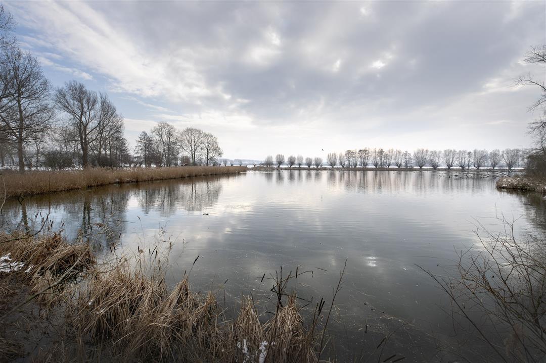
Walk along one of the most beautiful creek areas in the Meetjesland! The Asseneedse creeks. Via the Doornendijkstraat you walk along the big & red gully, on the border with the Netherlands, along Hollandse Gat & Grote Kilkreek.
TheAlong the creeks of Assenede walking routeis offered to you byRouten, an initiative of Tourism East Flanders.
automatic translation
 nodes to follow
0 km
1.8 km
2.9 km
5.5 km
7.6 km
8 km
9.9 km
9.9 km
12.9 km
13.5 km
14.9 km
Saturday, June 22, 2024 by Y.D.We can only confirm it,we have lived on this route for 50 years, and it is a gem ! Its vistas in beautiful nature,its creeks,polders,dikes, the silence and tranquility are a plus for Assenede! Go them and enjoy! And do not forget Marius ( corner Doornendijk )
automatic translation
Monday, August 23, 2021 by Dirk CalsynBeautiful. Quiet, Enjoyed. The creek strip is definitely worth it on a Sunday afternoon. And don't forget to stop at Marius.
automatic translation
Sunday, April 25, 2021 by D.L.Mainly paved roads. Piece between 54 and 61 where you walk on the dip is the most beautiful. The polder village Assenede best we beautiful!
automatic translation
Tuesday, June 16, 2020 by G.V.Very beautiful and varied walking route, along creeks and dikes. Discovered the romantic love jetty and there are beautiful photos to shoot. Plenty of benches to rest and in Assenede there are nice terraces and eateries. Highly recommended.
automatic translation


 Upgrade to Premium Plus
