Loading...

A.S.Adventure: Through Bosland to the tranquility of Lommel

automatic translation

13.5 km • Lommel

Icon official route official route

40 0 0/5

13.5 km 0.0 km 0.0 km

route offered by

Badge of official route

more info

Icon starting point Addresse starting point (approximate)

Zandstraat 28 3920 Lommel

Icon type signage of route signage

The route is fully signposted with nodes.
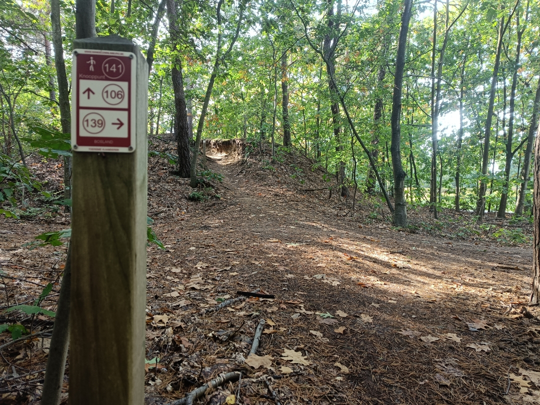
5m 5m 5m 5m
Atmosphere image 1 of route A.S.Adventure: Through Bosland to the tranquility of Lommel Atmosphere image 2 of route A.S.Adventure: Through Bosland to the tranquility of Lommel Atmosphere image 3 of route A.S.Adventure: Through Bosland to the tranquility of Lommel
© NodeMapp

Icon description route Description

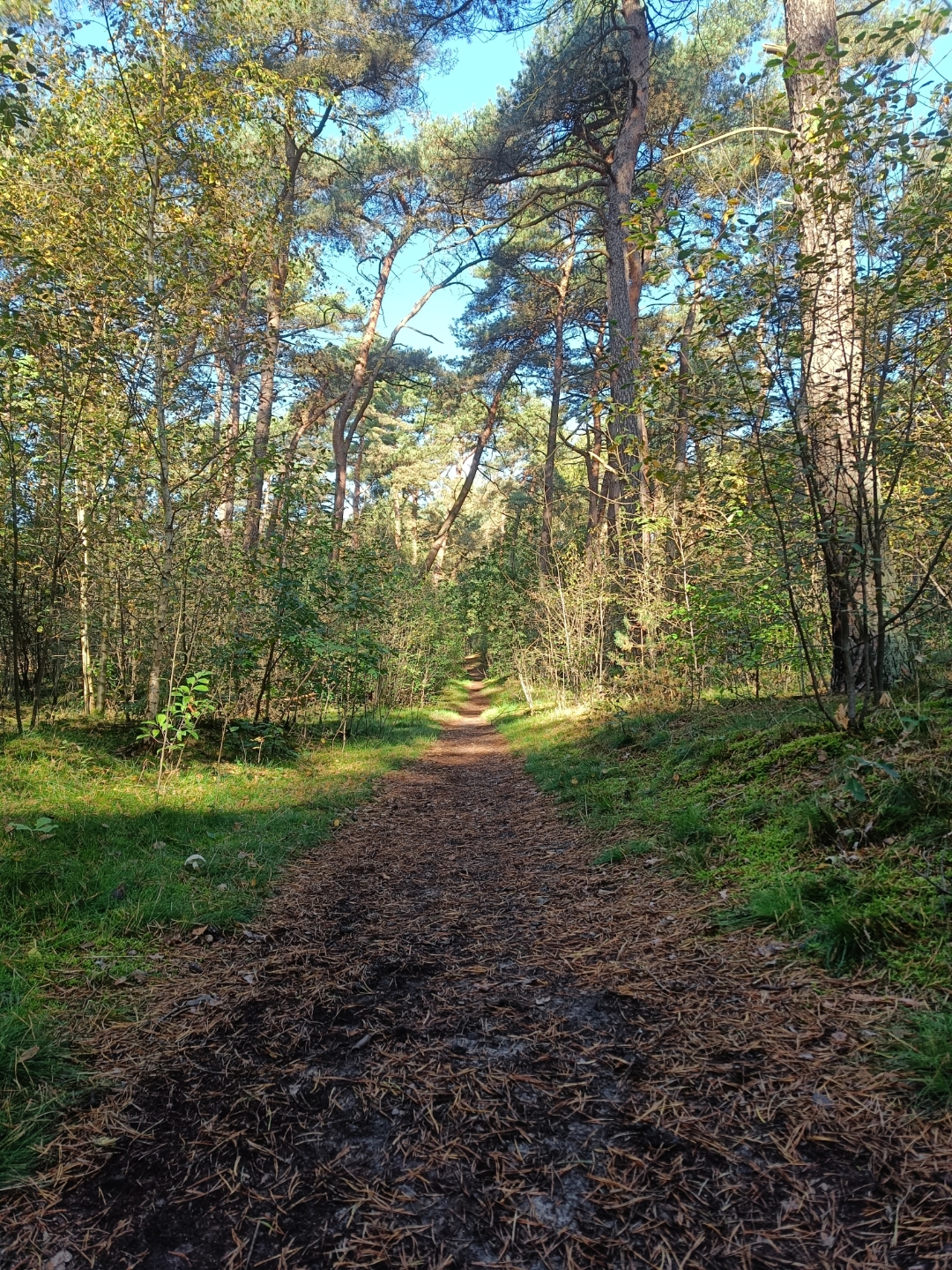
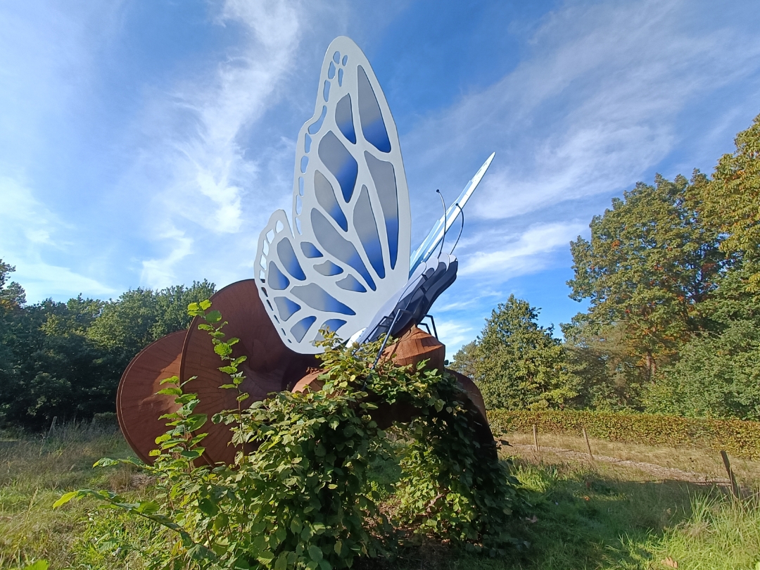
You’ll start at the Vlinder in Kattenbos and walk through the forest of the same name toward Pijnven. Heathland, forests, and ponds alternate, giving this route that typical Bosland feel: lots of greenery, plenty of peace and quiet, and always something new to see along the way. Further along, you’ll pass the German military cemetery in Lommel, an impressive place to pause for a moment of silence. 

Enjoy your walk!

automatic translation

Icon nodes to follow nodes to follow

Image node 139
0 km
Image node 138
0.3 km
Image node 136
0.5 km
Image node 147
0.6 km
Image node 146
1.1 km
Image node 145
1.2 km
Image node 144
1.6 km
Image node 143
1.9 km
Image node 150
2.2 km
Image node 172
2.9 km
Image node 173
3.7 km
Image node 173
3.9 km
Image node 169
5.1 km
Image node 168
5.8 km
Image node 174
7.4 km
Image node 175
7.9 km
Image node 178
8.2 km
Image node 177
8.8 km
Image node 114
9.9 km
Image node 113
10.5 km
Image node 112
11.8 km
Image node 106
12.1 km
Image node 141
13.3 km
Image node 139
13.5 km
This route does not have any reviews yet. Be the first!
Rate route!

Which POI do you want to show on the map?

Experimental hiking network
Unsigned icon

The route you have chosen runs (partly) along an experimental virtual hiking node network (the blue-coloured nodes and sections on the map).

You must be logged in to plan routes here.

Experimental hiking network
Unsigned icon

The route you have chosen runs (partly) along an experimental virtual hiking node network (the blue-coloured nodes and sections on the map).

These routes are not controlled in the field. Before you start hiking here, take a minute to read what an experimental hiking node network is and what rules you should follow when hiking here.