 Hiking
 Login
Login
 More
More
 EN
EN
 Premium
Scheldewindeke Countryside Walk
automatic translation
16.6 km • Oosterzele
3.1312 0 0/5

 Addresse starting point (approximate)
Marktplein 1, 9860 Scheldewindeke, BE
 signage
The route is not signposted. Use a GPS device or our app to follow the route.
 Description
Departure: church parking - Market Square 4 Scheldewindeke (not on Wednesday, as there is a market)
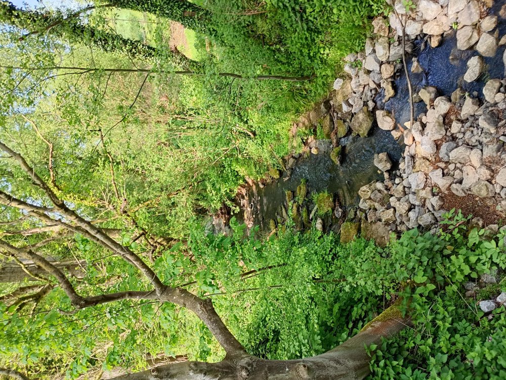
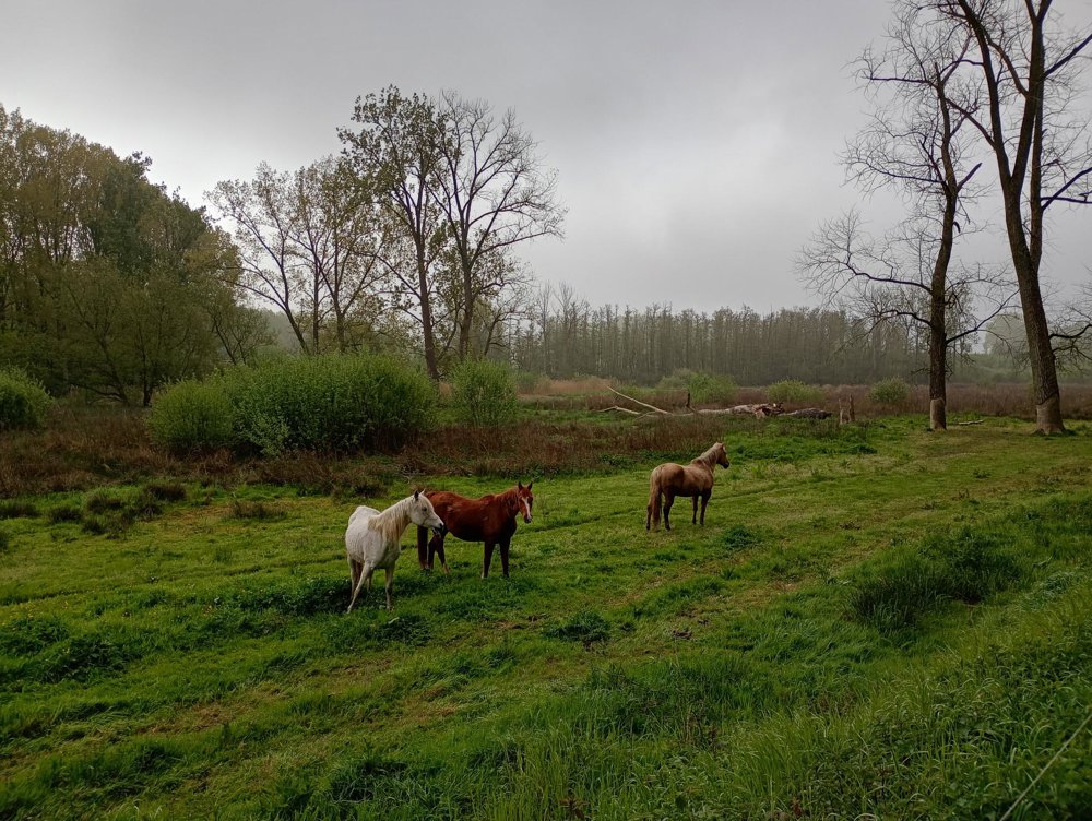
We walk out of the village along the railway line to the Moortsele station. There we enter the floodplain and nature reserve. There are many boardwalks, small bridges, streams and ponds, all beautifully maintained.
After that, the countryside begins. In Munte, a restroom stop can be made, and the church is also worth seeing. There is an exhibition about the history of the village and about the comic characters of Marc Sleen - his brother was a pastor here. Unfortunately, several statues and objects have disappeared in recent years.
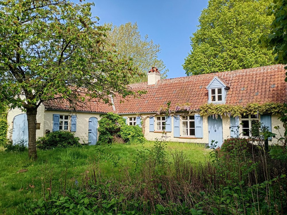
Afterwards, we head back to the starting point via Baaigem. Along the way, we encounter several beautifully restored farms, the Blue Castle which is now an organic farm, and the well-maintained Magharius Chapel. The Molenbeek also meanders beautifully through the landscape.
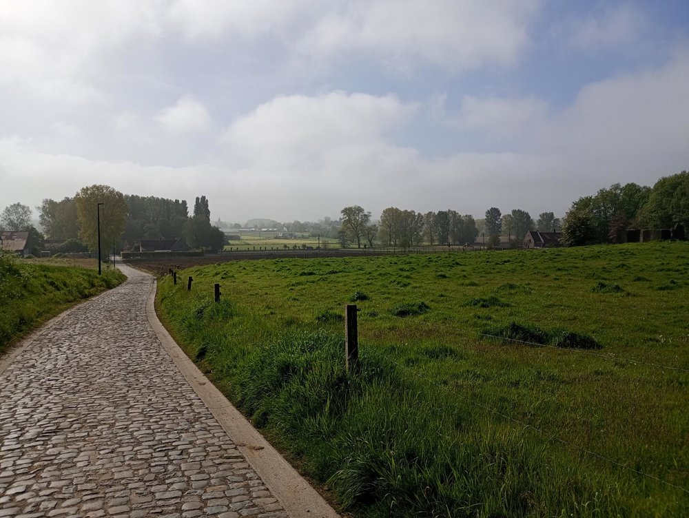
Many neighborhood roads have disappeared or have been plowed, which is why we often stay on the - very quiet - roads.
automatic translation


 Upgrade to Premium Plus
